MyTopo
North Bay North Carolina US Topo Map
Couldn't load pickup availability
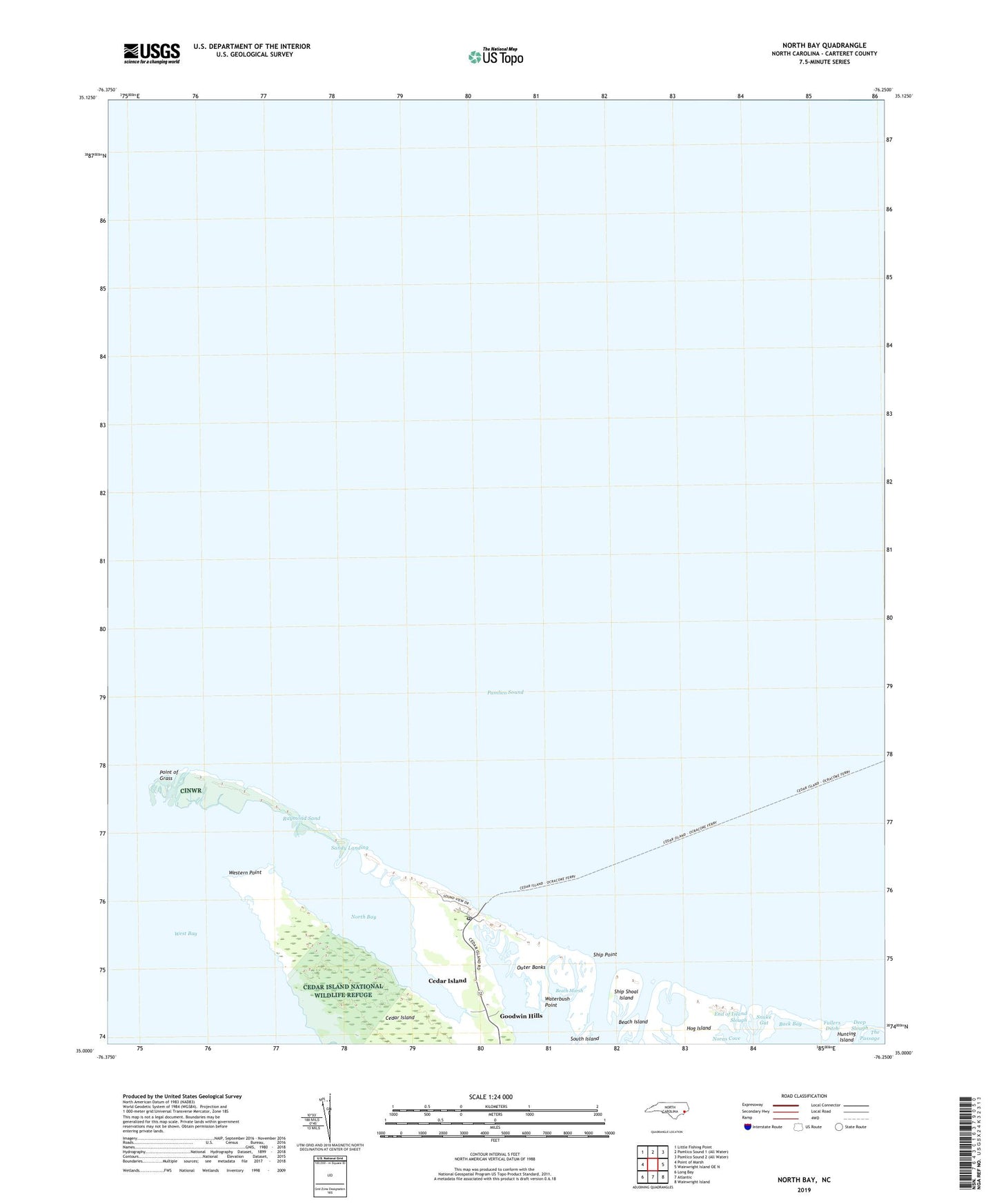
2019 topographic map quadrangle North Bay in the state of North Carolina. Scale: 1:24000. Based on the newly updated USGS 7.5' US Topo map series, this map is in the following counties: Carteret. The map contains contour data, water features, and other items you are used to seeing on USGS maps, but also has updated roads and other features. This is the next generation of topographic maps. Printed on high-quality waterproof paper with UV fade-resistant inks.
Quads adjacent to this one:
West: Point of Marsh
Northwest: Little Fishing Point
East: Wainwright Island OE N
Southeast: Wainwright Island
South: Atlantic
Southwest: Long Bay
Contains the following named places: Beach Island, Beach Marsh, Cedar Island, Cedar Island Post Office, Deep Slough, End of Island Slough, Ferry Landing, Fullers Ditch, Goodwin Hills, Great Pond, Head of Bay, Hog Island, Hunting Island, Noras Cove, North Bay, Point of Grass, Raymond Sand, Sandy Landing, Ship Point, Ship Shoal Island, Snake Gut, Township of Cedar Island, Waterbush Point, Western Point