MyTopo
Wainwright Island North Carolina US Topo Map
Couldn't load pickup availability
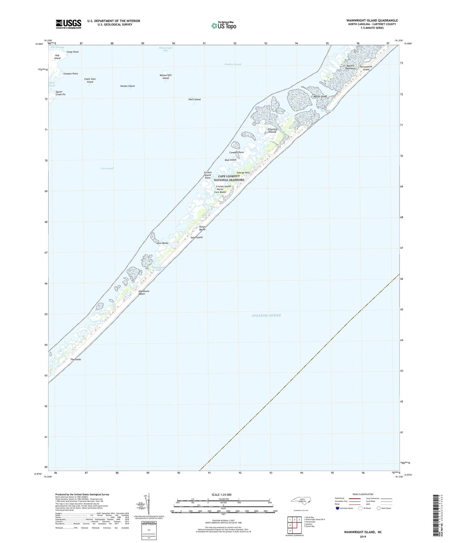
2022 topographic map quadrangle Wainwright Island in the state of North Carolina. Scale: 1:24000. Based on the newly updated USGS 7.5' US Topo map series, this map is in the following counties: Carteret. The map contains contour data, water features, and other items you are used to seeing on USGS maps, but also has updated roads and other features. This is the next generation of topographic maps. Printed on high-quality waterproof paper with UV fade-resistant inks.
Quads adjacent to this one:
West: Atlantic
Northwest: North Bay
North: Wainwright Island OE N
Northeast: Portsmouth
Southwest: Styron Bay
This map covers the same area as the classic USGS quad with code o34076h2.
Contains the following named places: Camp Point, Chain Shot Island, Cowpen Point, Cricket Island, Cricket Island Point, George Hills, Harbor Island, Merkle Hammock, Mud Island, Mullet Shoal, North Core Banks, Old House Beach, Oyster Creek, Oyster Creek Pit, Pilontary Islands, Sand Island, Sand Island Inlet, Shell Island, Swash Inlet, The Sands, Township of Portsmouth, Wainwright Island, Wainwright Slue