MyTopo
Park Spring North Carolina US Topo Map
Couldn't load pickup availability
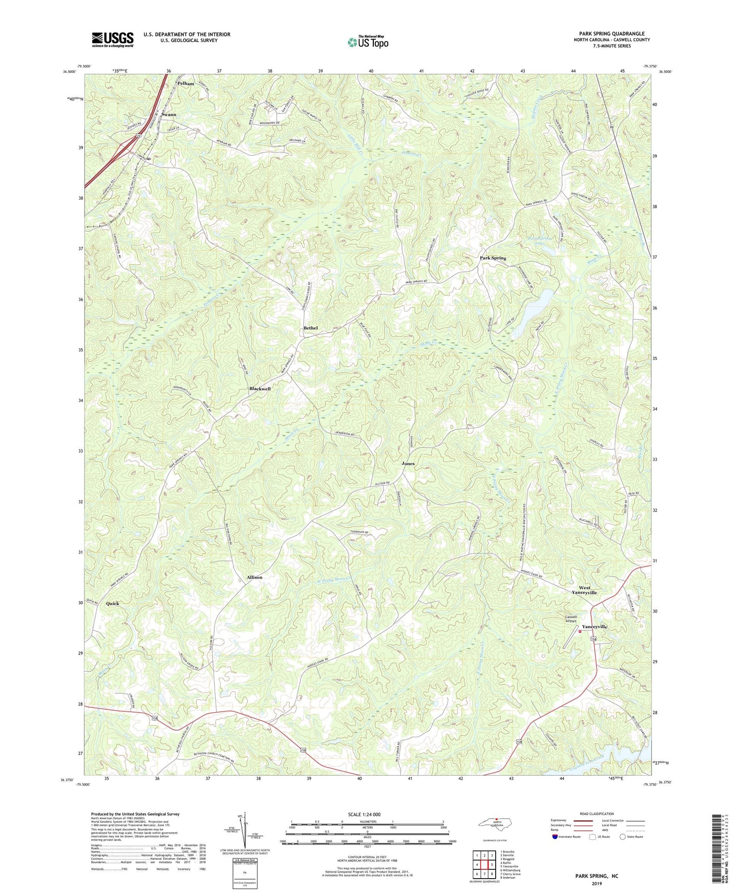
2019 topographic map quadrangle Park Spring in the state of North Carolina. Scale: 1:24000. Based on the newly updated USGS 7.5' US Topo map series, this map is in the following counties: Caswell. The map contains contour data, water features, and other items you are used to seeing on USGS maps, but also has updated roads and other features. This is the next generation of topographic maps. Printed on high-quality waterproof paper with UV fade-resistant inks.
Quads adjacent to this one:
West: Ruffin
Northwest: Brosville
North: Danville
Northeast: Ringgold
East: Yanceyville
Southeast: Anderson
South: Cherry Grove
Southwest: Williamsburg
Contains the following named places: Allison, Bear Branch, Bethel, Bethesda Church, Blackwell, Blackwell Church, Caswell Airport, Cedar Grove Church, Cobb Memorial School, Cobbs Shop, Duncan Elementary School, East Prong Moon Creek, Gwynns Chapel, Jones, Little Mill Creek, Mineral Spring Church, New Ephesus Church, Park Spring, Park Spring Lake, Pelham Post Office, Quick, Swann, Township of Locust Hill, Township of Pelham, True Gospel Church, West Prong Moon Creek, West Yanceyville, Wildwood Lake, Wildwood Lake Dam, Yanceyville Fire Department Station 2, ZIP Code: 27311