MyTopo
Peacocks Crossroads North Carolina US Topo Map
Couldn't load pickup availability
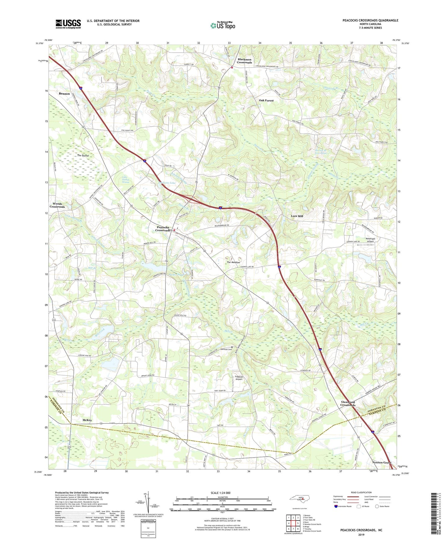
2019 topographic map quadrangle Peacocks Crossroads in the state of North Carolina. Scale: 1:24000. Based on the newly updated USGS 7.5' US Topo map series, this map is in the following counties: Johnston, Sampson. The map contains contour data, water features, and other items you are used to seeing on USGS maps, but also has updated roads and other features. This is the next generation of topographic maps. Printed on high-quality waterproof paper with UV fade-resistant inks.
Quads adjacent to this one:
West: Dunn
Northwest: Benson
North: Four Oaks
Northeast: Four Oaks NE
East: Newton Grove North
Southeast: Newton Grove South
South: Timothy
Southwest: Mingo
Contains the following named places: Barefoot Cemetery, Beasley Store, Blackmans Crossroads Fire Department, Blackmon Crossroads, Bryan Pond Dam, Calvary Church, Dismal Branch, Durhams Lake, Fiddleair Airport, Five Points, Glenwood Crossroads, Harold W Lees Pond, Harold W Lees Pond Dam, Hickory Grove Church, Hogpen Branch, Holly Grove Church, John K Swamp, Johnson Crossroads, Johnson Swamp, Jumping Run, Lake Vance, Lake Vance Dam, Lees Mill, Little Dismal Swamp, Little Swamp Branch, Long Branch, Long Branch Church, Long Branch School, Massengill Airport, McKoy, Meadow Elementary School, Meadow Volunteer Fire Department, Mill Branch, New Zealand Church, Oak Forest, Parker Pond, Parkers Mill, Parkers Mill Pond Dam, Peacocks Crossroads, Reedy Prong Church, Stone Creek Church, Tarts Store, The Dismal, The Meadow, Township of Meadow, Unity Church, Wenthworth School, Woods, Woods Crossroads