MyTopo
Four Oaks NE North Carolina US Topo Map
Couldn't load pickup availability
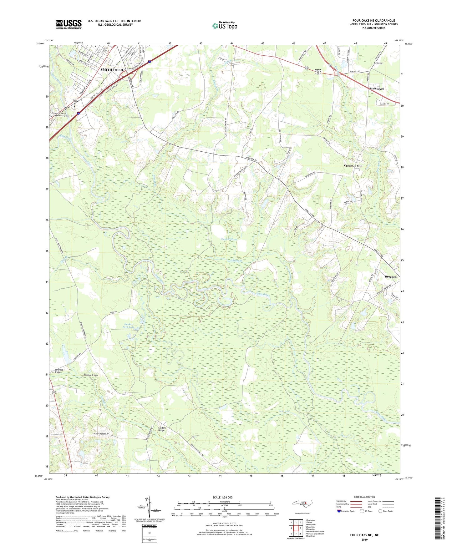
2022 topographic map quadrangle Four Oaks NE in the state of North Carolina. Scale: 1:24000. Based on the newly updated USGS 7.5' US Topo map series, this map is in the following counties: Johnston. The map contains contour data, water features, and other items you are used to seeing on USGS maps, but also has updated roads and other features. This is the next generation of topographic maps. Printed on high-quality waterproof paper with UV fade-resistant inks.
Quads adjacent to this one:
West: Four Oaks
Northwest: Powhatan
North: Selma
Northeast: Kenly West
East: Princeton
Southeast: Grantham
South: Newton Grove North
Southwest: Peacocks Crossroads
This map covers the same area as the classic USGS quad with code o35078d3.
Contains the following named places: Antioch Church, Arters Branch, Barefoot Bridge, Black Creek, Cogdells Pond, Creeches Mill, Green Chapel, Hickory Grove Church, Hills of Neuse Memorial Gardens, Mill Branch, Miry Branch, Oliver, Overby Cemetery, Pierce's Ferry, Polecat Branch, Polecat Landing, Quaker Neck Lake, Rhodes Bridge, Sage Pond, Sanders Bridge, Sanders Chapel, Sardis Church, Stewart Chapel, Swan Pond, Tees Chapel, Township of Smithfield, Whitley Place, ZIP Code: 27577