MyTopo
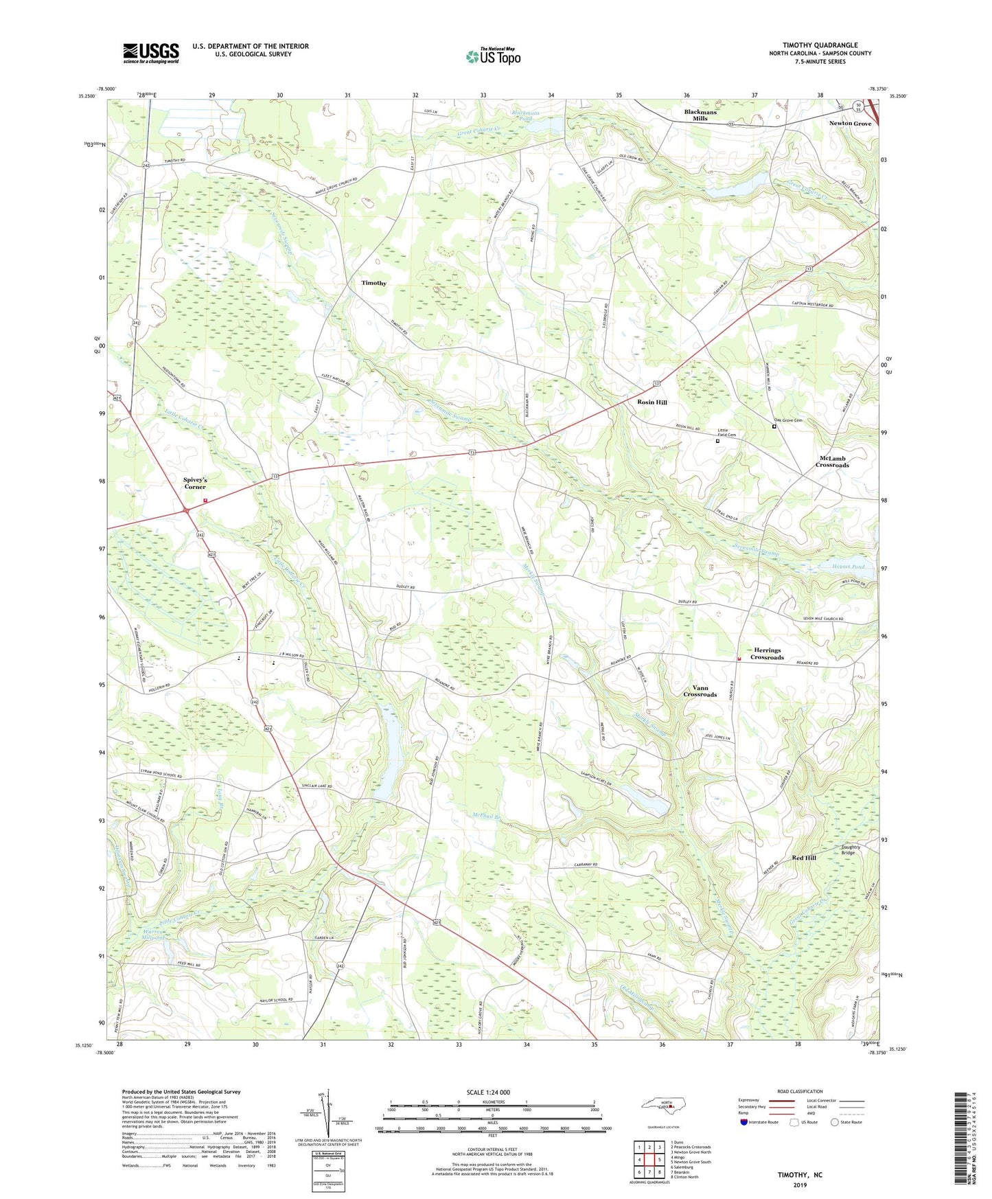
Timothy North Carolina US Topo Map
Couldn't load pickup availability
2022 topographic map quadrangle Timothy in the state of North Carolina. Scale: 1:24000. Based on the newly updated USGS 7.5' US Topo map series, this map is in the following counties: Sampson. The map contains contour data, water features, and other items you are used to seeing on USGS maps, but also has updated roads and other features. This is the next generation of topographic maps. Printed on high-quality waterproof paper with UV fade-resistant inks.
Quads adjacent to this one:
West: Mingo
Northwest: Dunn
North: Peacocks Crossroads
Northeast: Newton Grove North
East: Newton Grove South
Southeast: Clinton North
South: Bearskin
Southwest: Salemburg
This map covers the same area as the classic USGS quad with code o35078b4.
Contains the following named places: Blackmans Grove Church, Blackmans Mills, Blackmans Pond, Blackmans Pond Dam, Crestview Church, Daughtry Bridge, Enterprise School, Glencoe School, Goodwin Church, Herrings Crossroads, Hickory Grove Church, Hopewell Church, Houses Pond, Jacksons Pond, Jacksons Pond Dam, Little Field Cemetery, Little Field Church, Long Branch, Maple Grove School, McLamb Crossroads, McPhail Branch, Merkle Swamp, Midway, Midway High School, Mount Carmel Church, Mounty Elam Church, Oak Grove Cemetery, Oak Grove Church, Oak Grove School, Opossum Swamp, Point Level Church, Red Hill, Roanoke Chapel, Rosin Hill, Sampson Acres Lake, Sampson Acres Lake Dam, Sevenmile Church, Shady Grove Church, Shady Grove School, Sinclair Lake, Sinclair Lake Dam, Spiveys Corner, Spivey's Corner Census Designated Place, Spiveys Corner Volunteer Fire Department, Timothy, Township of Westbrook, Vann Crossroads, Vann Crossroads Census Designated Place, Vann Crossroads Fire Department, Warren Millpond, Warrens Pond, Williams Chapel, Wilsons Store


