MyTopo
Scotia North Carolina US Topo Map
Couldn't load pickup availability
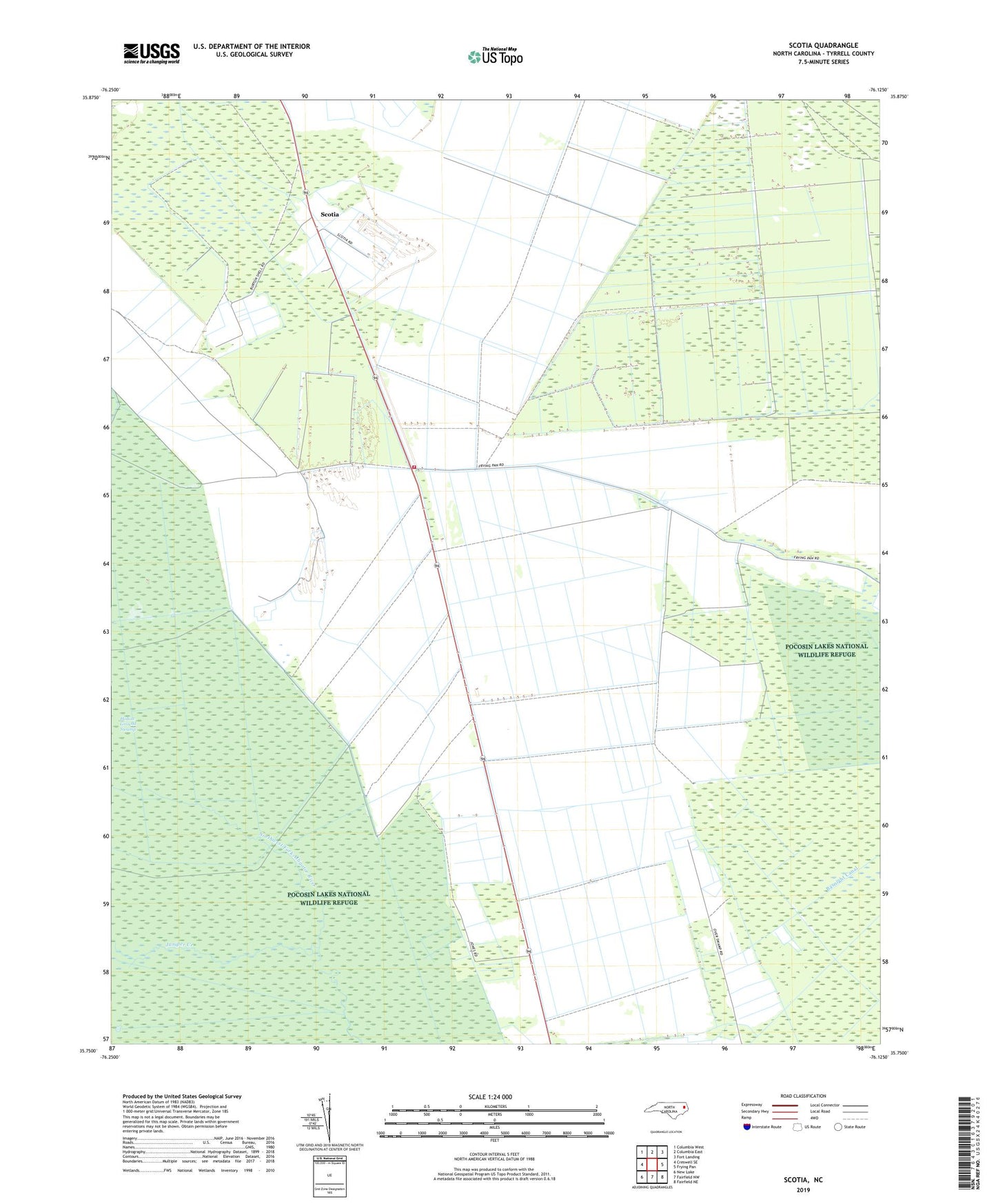
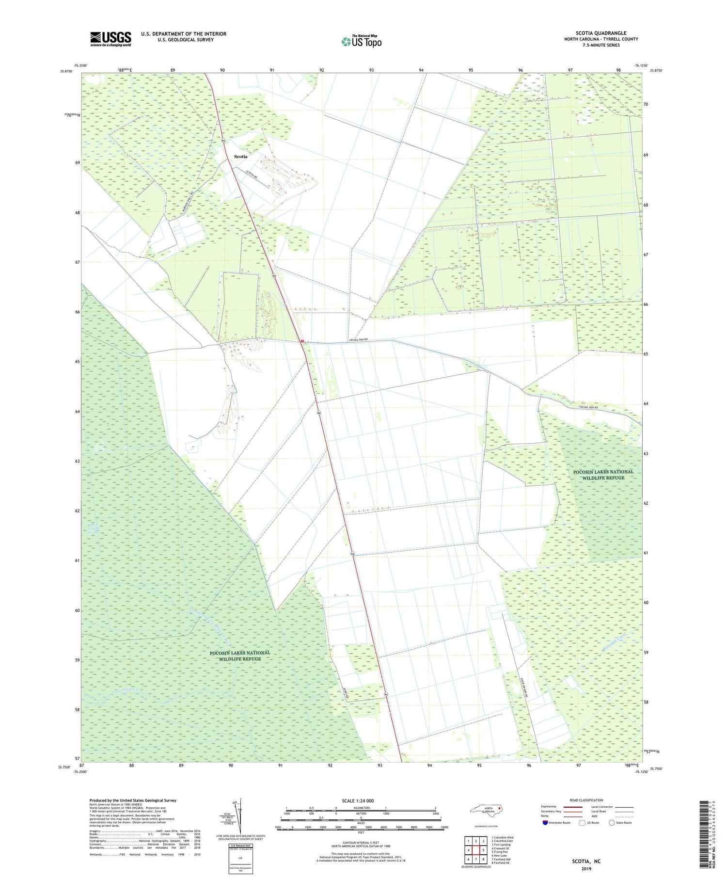
2019 topographic map quadrangle Scotia in the state of North Carolina. Scale: 1:24000. Based on the newly updated USGS 7.5' US Topo map series, this map is in the following counties: Tyrrell. The map contains contour data, water features, and other items you are used to seeing on USGS maps, but also has updated roads and other features. This is the next generation of topographic maps. Printed on high-quality waterproof paper with UV fade-resistant inks.
Quads adjacent to this one:
West: Creswell SE
Northwest: Columbia West
North: Columbia East
Northeast: Fort Landing
East: Frying Pan
Southeast: Fairfield NE
South: Fairfield NW
Southwest: New Lake
Contains the following named places: Basnight Canal, Frying Pan Fire Department Station 4, Hollow Ground Swamp, Juniper Creek, Scotia, Tyrrell County, ZIP Code: 27925