MyTopo
Columbia East North Carolina US Topo Map
Couldn't load pickup availability
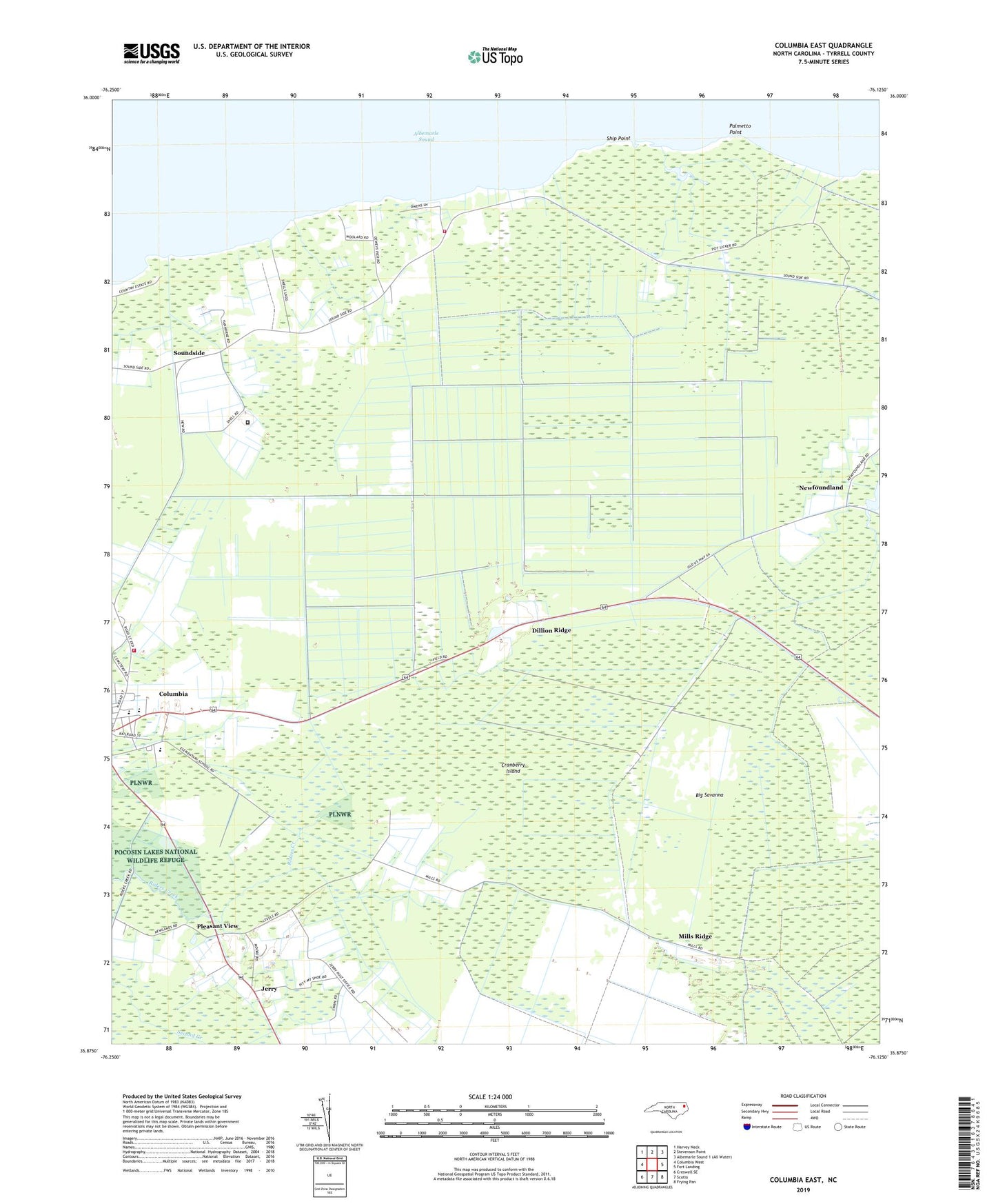
2022 topographic map quadrangle Columbia East in the state of North Carolina. Scale: 1:24000. Based on the newly updated USGS 7.5' US Topo map series, this map is in the following counties: Tyrrell. The map contains contour data, water features, and other items you are used to seeing on USGS maps, but also has updated roads and other features. This is the next generation of topographic maps. Printed on high-quality waterproof paper with UV fade-resistant inks.
Quads adjacent to this one:
West: Columbia West
Northwest: Harvey Neck
North: Stevenson Point
East: Fort Landing
Southeast: Frying Pan
South: Scotia
Southwest: Creswell SE
This map covers the same area as the classic USGS quad with code o35076h2.
Contains the following named places: Alligator Fire Department Station 6, Big Savanna, Columbia High School, Cranberry Island, Dewey Pier, Dillion Ridge, Faith Baptist Church, Freewill Church, Jerry, Levels, Malachi Chapel, Manteo Wastewater Treatment Plant, Mills Ridge, Missionary Church, Newfoundland, Palmetto Point, Pleasant View, Sandy Acres Free Baptist Church, Ship Point, Soundside, Town of Columbia, Township of Columbia, Tyrell County Water Treatment Plant, Tyrell Prison Work Farm, Tyrell Volunteer Fire Department, Tyrrell County Emergency Medical Services, Tyrrell County Schools Administration Office, Tyrrell Elementary School, Zion Grove Disciples Church