MyTopo
Creswell SE North Carolina US Topo Map
Couldn't load pickup availability
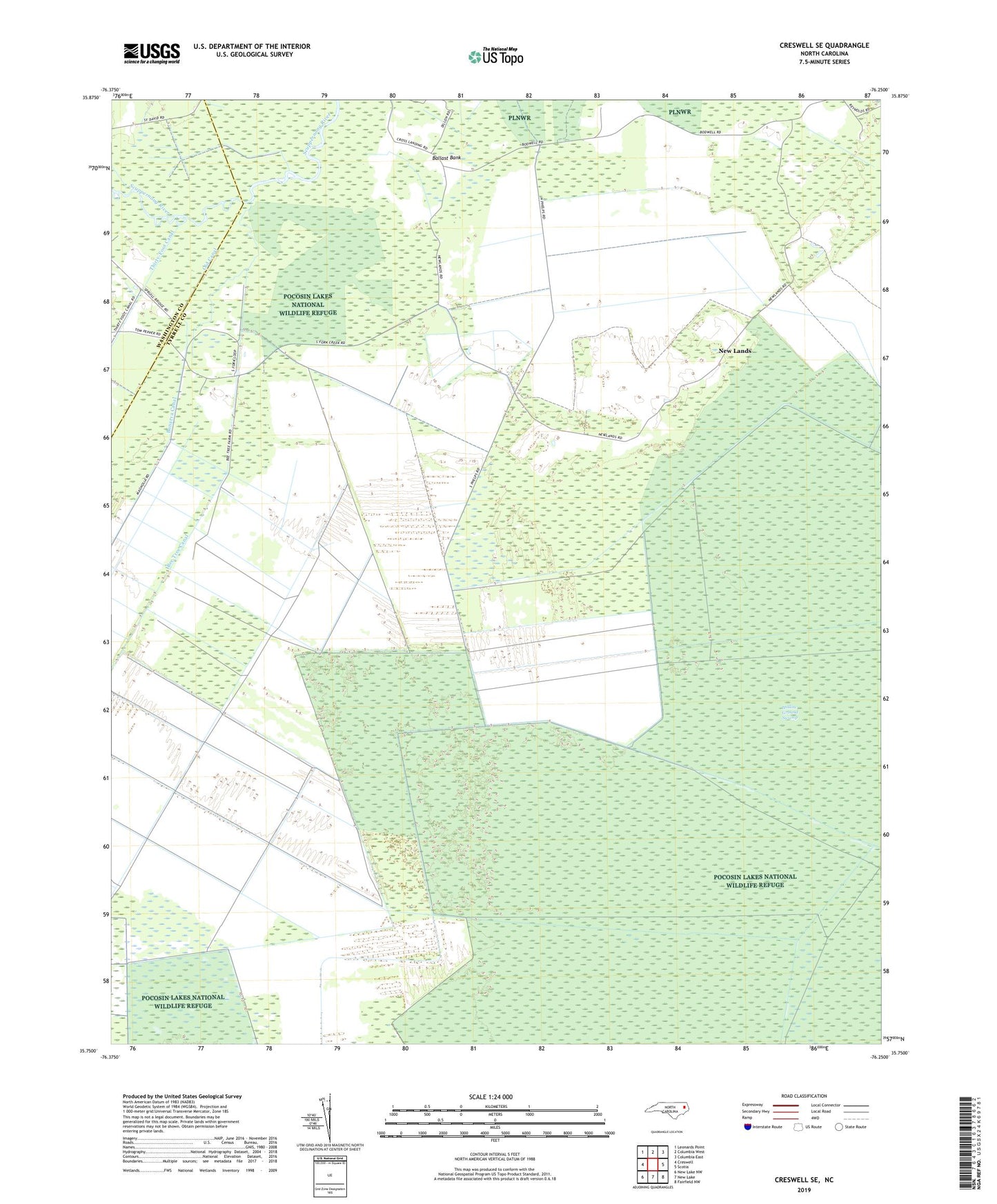
2022 topographic map quadrangle Creswell SE in the state of North Carolina. Scale: 1:24000. Based on the newly updated USGS 7.5' US Topo map series, this map is in the following counties: Tyrrell, Washington. The map contains contour data, water features, and other items you are used to seeing on USGS maps, but also has updated roads and other features. This is the next generation of topographic maps. Printed on high-quality waterproof paper with UV fade-resistant inks.
Quads adjacent to this one:
West: Creswell
Northwest: Leonards Point
North: Columbia West
Northeast: Columbia East
East: Scotia
Southeast: Fairfield NW
South: New Lake
Southwest: New Lake NW
This map covers the same area as the classic USGS quad with code o35076g3.
Contains the following named places: Ballast Bank, Bee Tree Canal, Cabin Swamp Church, Cross Landing Church, Holly Grove Church, New Lands, Old Canal, Township of South Fork, Woodleys Chapel