MyTopo
Spruce Pine North Carolina US Topo Map
Couldn't load pickup availability
Also explore the Spruce Pine Forest Service Topo of this same quad for updated USFS data
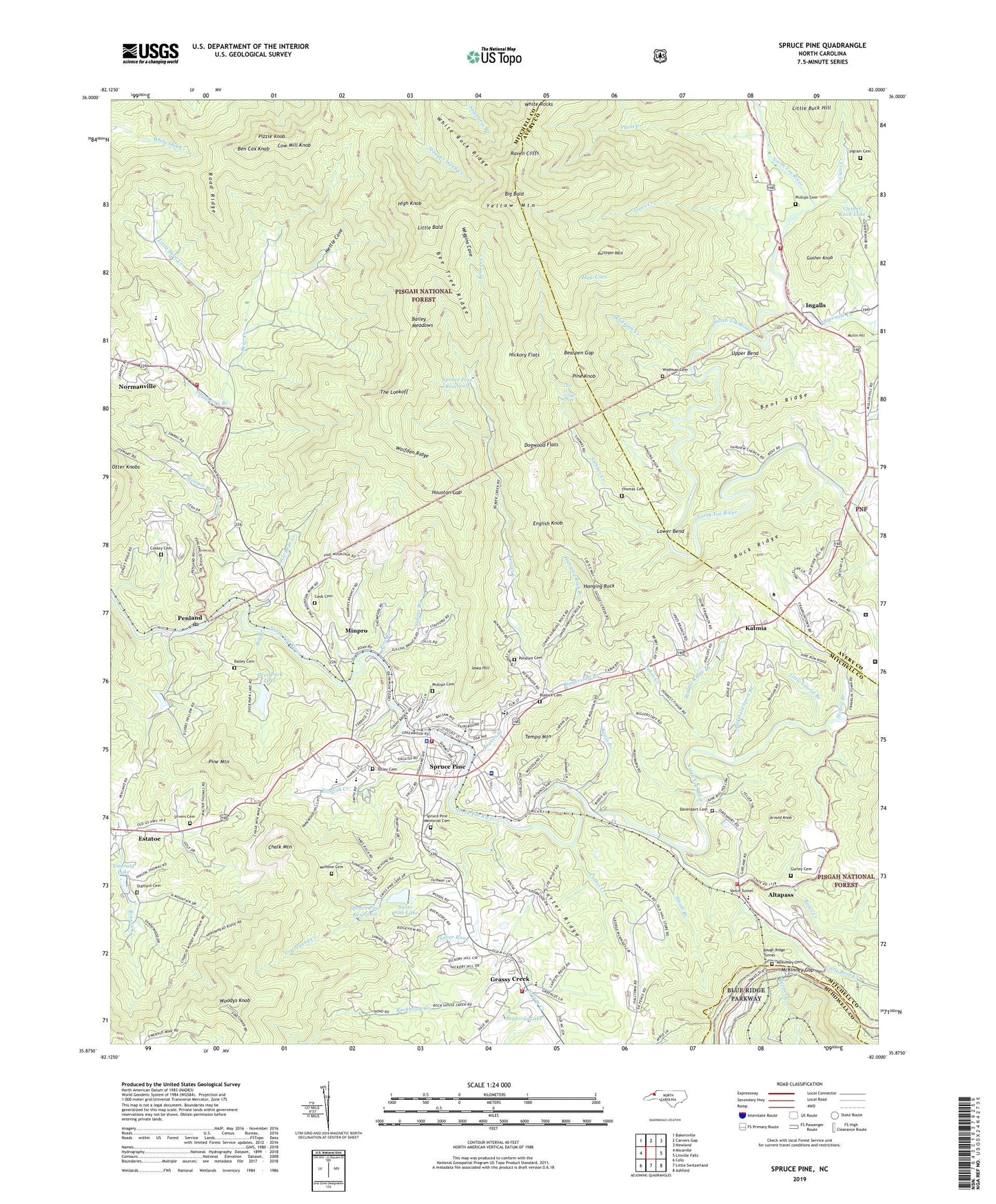
2022 topographic map quadrangle Spruce Pine in the state of North Carolina. Scale: 1:24000. Based on the newly updated USGS 7.5' US Topo map series, this map is in the following counties: Mitchell, Avery, McDowell. The map contains contour data, water features, and other items you are used to seeing on USGS maps, but also has updated roads and other features. This is the next generation of topographic maps. Printed on high-quality waterproof paper with UV fade-resistant inks.
Quads adjacent to this one:
West: Micaville
Northwest: Bakersville
North: Carvers Gap
Northeast: Newland
East: Linville Falls
Southeast: Ashford
South: Little Switzerland
Southwest: Celo
This map covers the same area as the classic USGS quad with code o35082h1.
Contains the following named places: Altapass, Appalachian School, Arnold Knob, Avery - Mitchell Correctional Institution, Bailey Cemetery, Bailey Meadows, Banjo Branch, Beacon Church, Bear Creek, Bear Creek Church, Bearpen Gap, Beaver Creek, Beaver Creek Church, Beaver Creek Spruce Pine Supply Dam, Bee Tree Ridge, Ben Cox Knob, Bent Ridge, Berry Chapel, Big Bald, Big Branch, Biggerstaff Branch, Bill Davenport Branch, Blalock Cemetery, Blue Ridge Regional Hospital, Brad Ragan Memorial Recreation Park, Buck Ridge, Burleson Bald, Carolina Southern Mine, Carter Ridge, Cathis Creek, Chalk Mine, Chalk Mountain, Chestnut Flats Mine, Clear Creek, Conley Cemetery, Cook Cemetery, Cow Mill Knob, Cranberry Branch, Crystal Falls, Davenport Cemetery, Deaton School, Deer Park Lake, Deer Park Lake Dam, Deer Park Mine, Dogwood Flats, East Fork Grassy Creek, Emerald Lake, English Creek, English Knob, Estatoe, Fairview Church, Falls of Gouges Creek, First Freewill Church, Gouges Creek, Gouges Creek Church, Grassy Creek, Grassy Creek Number 1 Township, Grassy Creek Number 2 Township, Graveyard Creek, Green Valley Volunteer Fire Department, Gudger Mine, Gurley Cemetery, Gusher Knob, Gusher Knob Dam, Gusher Knob Lake, Gusher Knob Mine, Hanging Rock, Hanging Rock Branch, Harris High School, Harris Middle School, Harris School, Haw Cove, Hickory Flats, High Knob, Holley Branch, Houston Gap, Ingalls, Ingram Cemetery, International Mine, Iowa Hill, Jakes Creek, Jones Creek, Kalmia, Ledger School, Ledger Volunteer Fire Department, Little Bald, Little Bear Creek, Little Laurel Branch, Little Rose Creek, Lower Bend, McHone Cemetery, McKinney Cemetery, McKinney Gap, Middle Ridge Branch, Minpro, Mitchell Emergency Medical Services, Mount Carmel Church, Mount Zion Church, Mountain View Correctional Institution, Mullin Hill, Nettle Cove, Normanville, Parkway Fire and Rescue Station, Parkway Fire and Rescue Station 2, Pendley Cemetery, Penland, Penland Post Office, Penland School, Phillips Cemetery, Pine Branch, Pine Branch Church, Pine Grove Church, Pine Knob, Pine Mountain, Pizzle Knob, Pyatt Creek, Raven Cliffs, Road Ridge, Rockhouse Creek, Roses Creek, Rough Ridge Tunnel, Saint Lucins Church, Saylors Lake, Saylors Lake Dam, Shafords Lake, Silver Run, Silvers Cemetery, Smith Branch, Springmaid Mountain Campground, Spruce Pine, Spruce Pine Fire and Rescue, Spruce Pine Golf Course, Spruce Pine Lookout Tower, Spruce Pine Memorial Cemetery, Spruce Pine Police Department, Spruce Pine Post Office, Spruce Pine Reservoir, Spruce Pine Shopping Center, Stafford Cemetery, Stewart Branch, Sullins Branch, Swiss Pine Lake, Swiss Pine Lake Dam, Tempa Mountain, The Lookoff, The Narrows, Thomas Cemetery, Threemile Creek, Tolley Cemetery, Town of Spruce Pine, Township of Grassy Creek, Township of Ingalls, Upper Bend, Vance Tunnel, White Rock Ridge, White Rocks, Whiteoak Creek, Whites Memorial Church, Wiggins Cove, Wiseman Cemetery, Wolfden Ridge, Woodys Knob, WToe-AM (Spruce Pine), Yellow Mountain, ZIP Code: 28777


