MyTopo
Wadesboro North Carolina US Topo Map
Couldn't load pickup availability
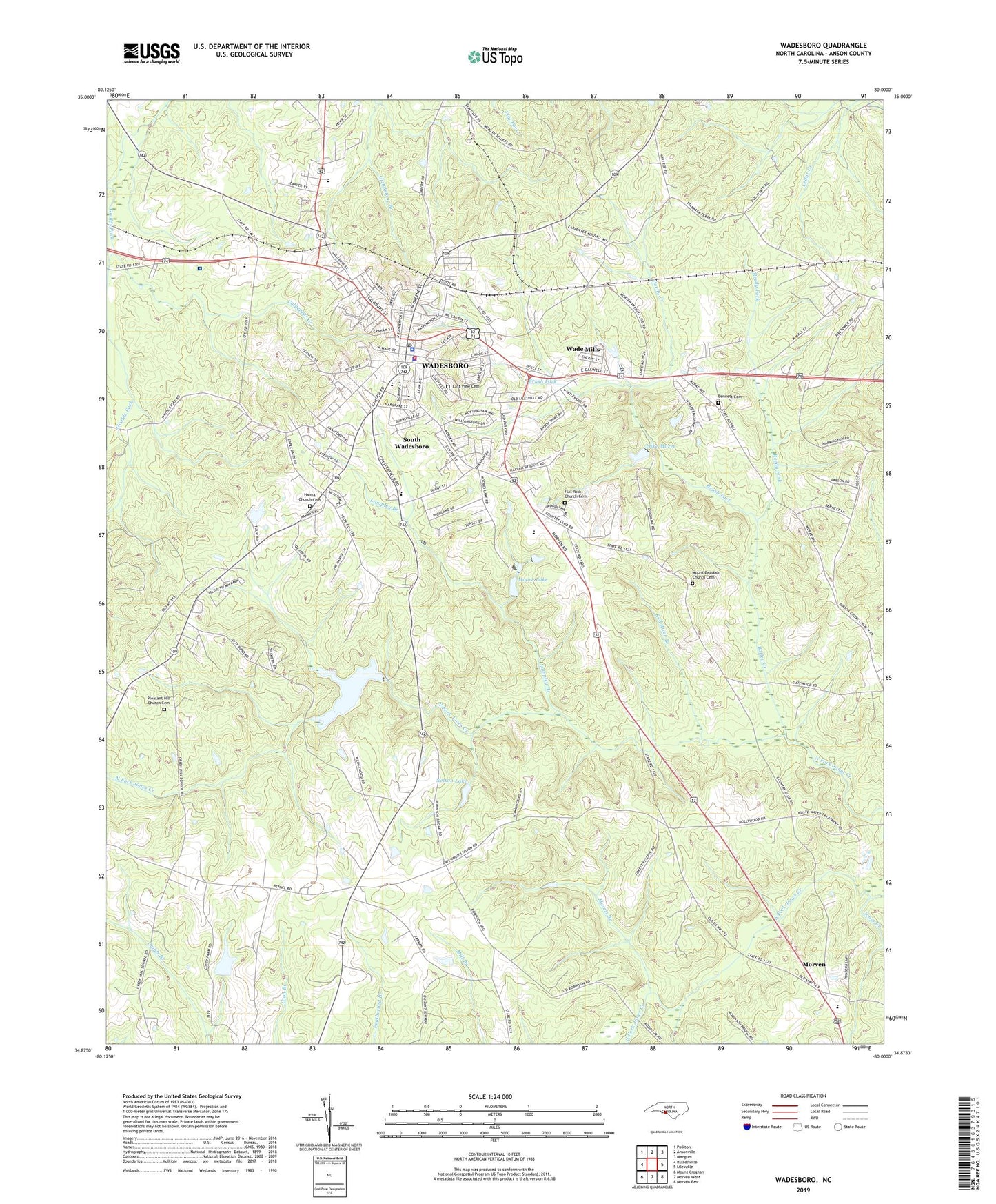
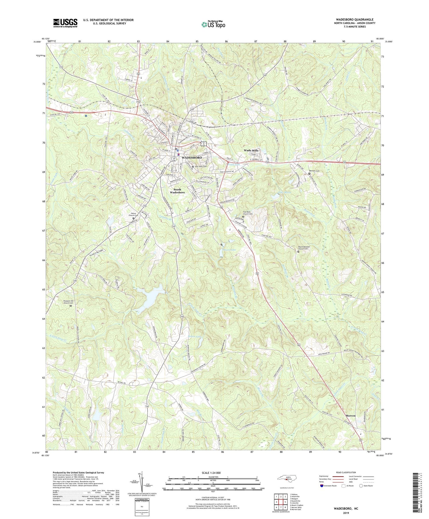
2019 topographic map quadrangle Wadesboro in the state of North Carolina. Scale: 1:24000. Based on the newly updated USGS 7.5' US Topo map series, this map is in the following counties: Anson. The map contains contour data, water features, and other items you are used to seeing on USGS maps, but also has updated roads and other features. This is the next generation of topographic maps. Printed on high-quality waterproof paper with UV fade-resistant inks.
Quads adjacent to this one:
West: Russellville
Northwest: Polkton
North: Ansonville
Northeast: Mangum
East: Lilesville
Southeast: Morven East
South: Morven West
Contains the following named places: Anson County, Anson County Sheriff's Office, Anson Emergency Medical Services, Anson Middle School, Anson Rescue Squad, Bailey Creek, Bennett Cemetery, Bethel Church, Bowman High School, Brush Fork, Carolinas HealthCare System Anson, Central School, City Pond, City Pond Dam, Culpepper Creek, Derita Creek, East View Cemetery, Flat Rock Church, Flat Rock Church Cemetery, Gatewood Station Church, Hanna Church, Hanna Church Cemetery, Hightower Areo Plantation Airport, J R Faison School, Lake Maree, Lake Maree Dam, Lampley Branch, Madison Grove Church, Moore Lake, Moore Lake Dam, Morris Branch, Mount Beaulah Church Cemetery, Mount Beulah Church, Nelson Lake, Nelson Lake Dam, North Fork Jones Creek, Paris, Parson Grove Church, Pine Grove Church, Plank Road Shopping Center, Pleasant Hill Church, Pleasant Hill Church Cemetery, Red River Branch, Reedy Fork, South Fork Jones Creek, South Wadesboro, Town of Wadesboro, Township of Wadesboro, Twin Valley Country Club, Wade Mills, WADE-AM (Wadesboro), Wadesboro, Wadesboro Fire Department, Wadesboro Municipal Lake, Wadesboro Police Department, Wadesboro Post Office, Wadesboro School, ZIP Code: 28170