MyTopo
Morven West North Carolina US Topo Map
Couldn't load pickup availability
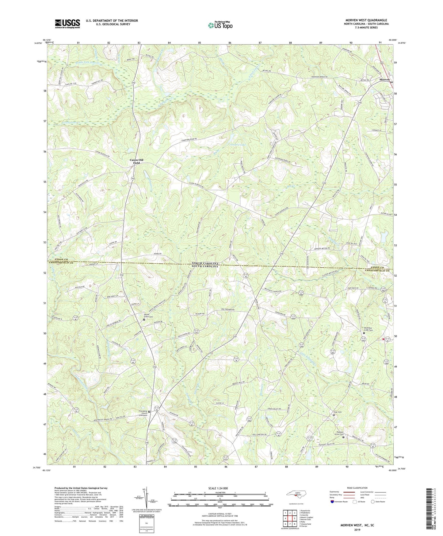
2022 topographic map quadrangle Morven West in the states of North Carolina, South Carolina. Scale: 1:24000. Based on the newly updated USGS 7.5' US Topo map series, this map is in the following counties: Anson, Chesterfield. The map contains contour data, water features, and other items you are used to seeing on USGS maps, but also has updated roads and other features. This is the next generation of topographic maps. Printed on high-quality waterproof paper with UV fade-resistant inks.
Quads adjacent to this one:
Northwest: Russellville
North: Wadesboro
Northeast: Lilesville
East: Morven East
Southeast: Cheraw
South: Chesterfield
Southwest: Ruby
Contains the following named places: Adams Cemetery, Big Branch, Bittle Family Cemetery, Brocks Mill Fire Department Station 3, Campbell Cemetery, Cason Old Field, Childs Branch, Cosa Pentecostal Church, Crawford Lake, Crawford Lake Dam, David Grove Baptist Church, Davids Grove Cemetery, Deep Creek, Featherbed Branch, Friendship Church, Friendship Church Graveyard, Green River Country Club, Griggs Cemetery, Gum Branch, Jones Creek, Little Cedar Creek, McClain Grove Baptist Church, McLain Grove Baptist Church Cemetery, McLain Grove School, McRae School, Middle Fork Jones Creek, Mill Branch, Moran McLendon Pond, Moran McLendon Pond Dam, Morven, Morven Post Office, Morven School, Mount Level Baptist Church, Mount Level Church Cemetery, New Hope Church, Oak Grove Church, Pleasant Grove Cemetery, Pleasant Grove Church, Pleasant Grove School, Sandy Plains Church, Sandy Ridge Church, Short Family Cemetery, Smarsh Branch, Smith Cemetery, Snow Hill Church, Snow Hill School, Streaters Grove Church, Teal Cemetery, Teals Pond Dam D-3203, Town of Morven, Township of Gulledge, Vaughn School, Westfield Creek Baptist Church, Westfield Creek Cemetery, Zoar Cemetery, Zoar Church, Zoar School, ZIP Code: 28119


