MyTopo
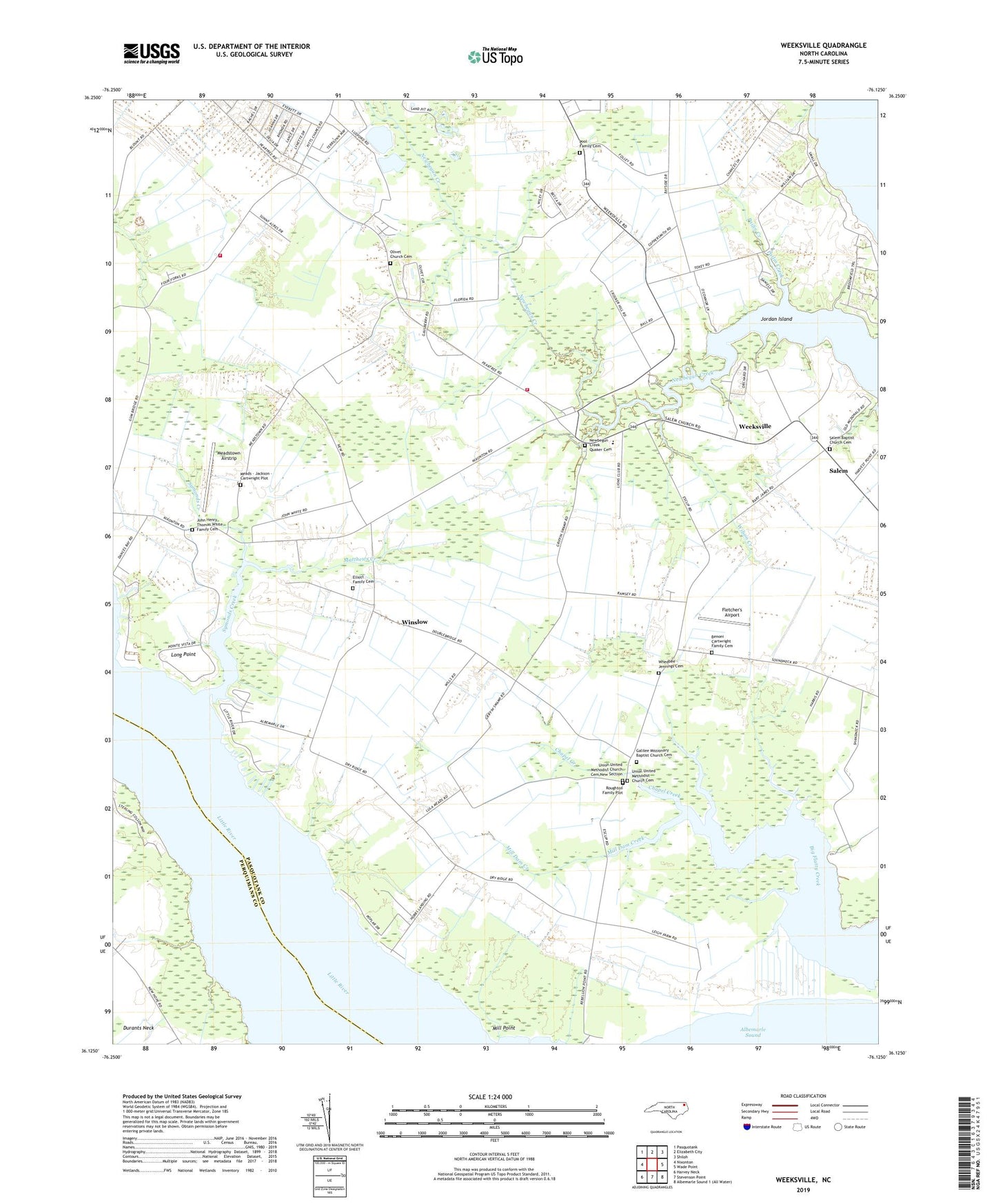
Weeksville North Carolina US Topo Map
Couldn't load pickup availability
2022 topographic map quadrangle Weeksville in the state of North Carolina. Scale: 1:24000. Based on the newly updated USGS 7.5' US Topo map series, this map is in the following counties: Pasquotank, Perquimans. The map contains contour data, water features, and other items you are used to seeing on USGS maps, but also has updated roads and other features. This is the next generation of topographic maps. Printed on high-quality waterproof paper with UV fade-resistant inks.
Quads adjacent to this one:
West: Nixonton
Northwest: Pasquotank
North: Elizabeth City
Northeast: Shiloh
East: Wade Point
South: Stevenson Point
Southwest: Harvey Neck
This map covers the same area as the classic USGS quad with code o36076b2.
Contains the following named places: Benoni Cartwright Family Cemetery, Bob White Fork, Boyds Neck, Chapel Creek, Elisha, Elliott Family Cemetery, Eureka Church, Fletcher's Airport, Four Forks, Galilee Church, Galilee Missionary Baptist Church Cemetery, John Henry Thomas White Family Cemetery, Jordan Island, Listers Corner, Long Point, Matthews Creek, Meads - Jackson - Cartwright Plot, Meadstown Airstrip, Mill Dam Creek, Mill Point, Mount Zion Church, Newbegun Church, Newbegun Creek Quaker Cemetery, Old Weeksville, Olivet Church, Olivet Church Cemetery, Pailin Creek, Pasquotank - Nixonton Volunteer Fire Department, Pasquotank County Water Treatment Plant, Pitts Chapel African Methodist Episcopal Zion Church, Pool Family Cemetery, Poolville, Rebecca Church, Riverside Church, Roughton Family Plot, Salem, Salem Baptist Church, Salem Baptist Church Cemetery, Symonds Creek, Symonds Creek Tabernacle, Township of Nixonton, Union Chapel, Union Church, Union United Methodist Church Cemetery, Union United Methodist Church Cemetery New Section, Weeksville, Weeksville Elementary School, Weeksville Naval Air Station, Weeksville Volunteer Fire Department Station 5, Whedbee - Jennings Cemetery, Wilson Creek, Winslow


