MyTopo
Harvey Neck North Carolina US Topo Map
Couldn't load pickup availability
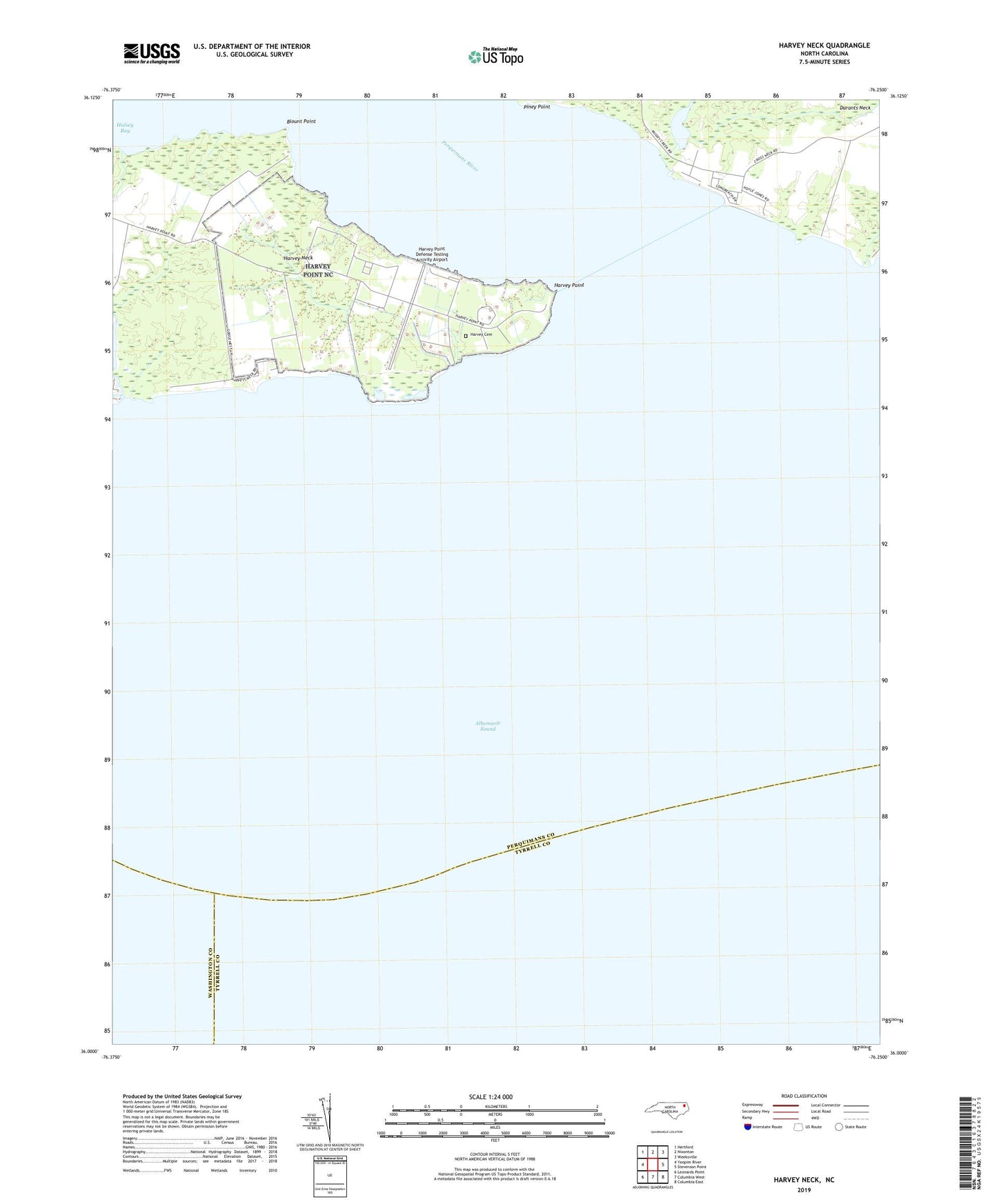
2022 topographic map quadrangle Harvey Neck in the state of North Carolina. Scale: 1:24000. Based on the newly updated USGS 7.5' US Topo map series, this map is in the following counties: Perquimans, Tyrrell, Washington. The map contains contour data, water features, and other items you are used to seeing on USGS maps, but also has updated roads and other features. This is the next generation of topographic maps. Printed on high-quality waterproof paper with UV fade-resistant inks.
Quads adjacent to this one:
West: Yeopim River
Northwest: Hertford
North: Nixonton
Northeast: Weeksville
East: Stevenson Point
Southeast: Columbia East
South: Columbia West
Southwest: Leonards Point
This map covers the same area as the classic USGS quad with code o36076a3.
Contains the following named places: Blount Point, Halsey Bay, Harvey Cemetery, Harvey Neck, Harvey Point, Harvey Point Defense Testing Activity, Harvey Point Defense Testing Activity Airport, Harvey Point Naval Auxiliary Air Station, Minzies Creek, Muddy Creek, Newby Landing, Perquimans River, Piney Point, Township of Bethel