MyTopo
Argusville North Dakota US Topo Map
Couldn't load pickup availability
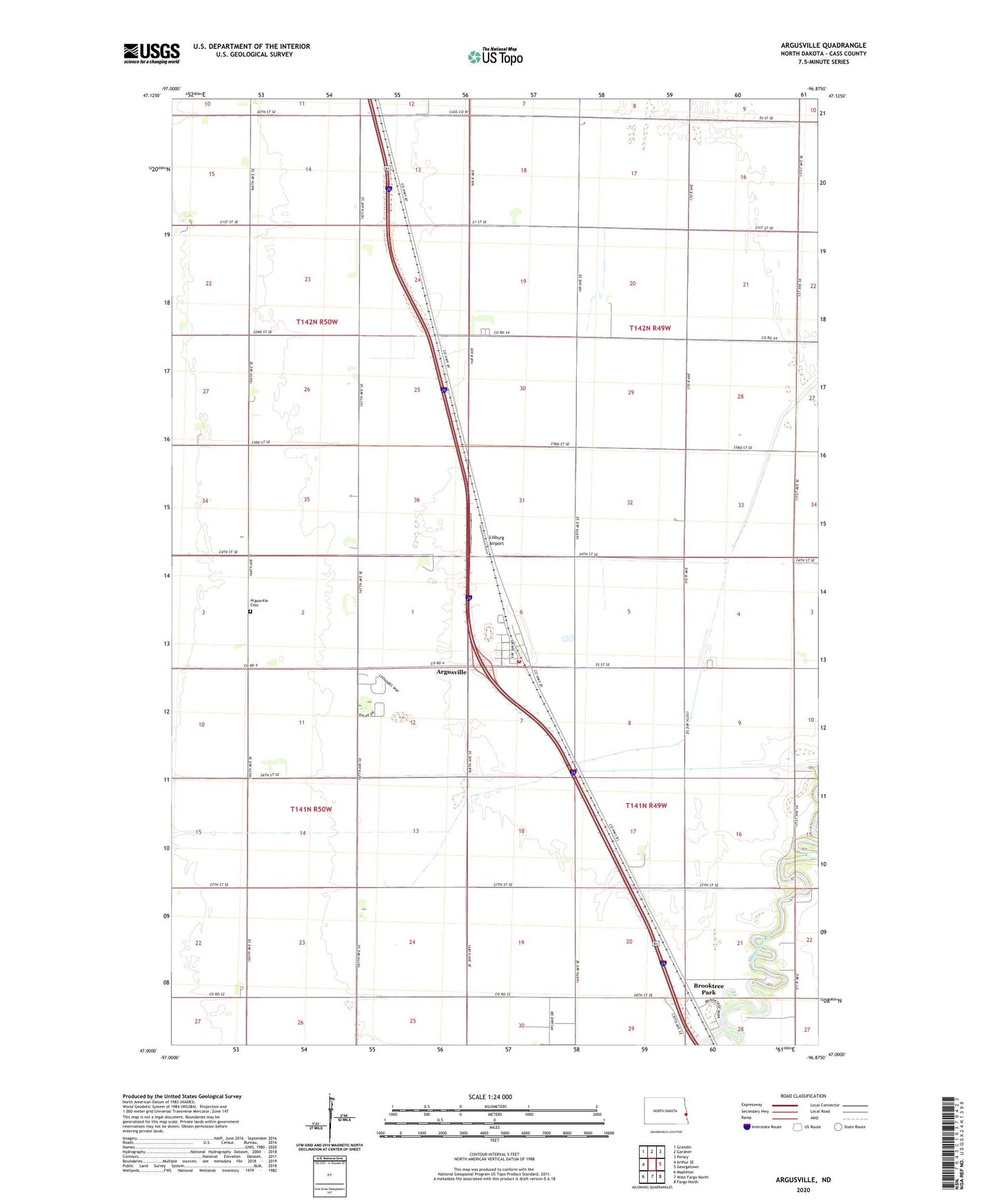
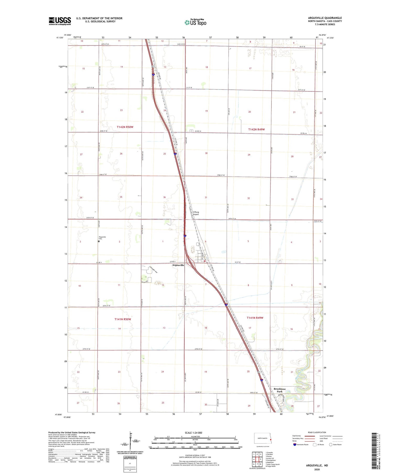
2020 topographic map quadrangle Argusville in the state of North Dakota. Scale: 1:24000. Based on the newly updated USGS 7.5' US Topo map series, this map is in the following counties: Cass. The map contains contour data, water features, and other items you are used to seeing on USGS maps, but also has updated roads and other features. This is the next generation of topographic maps. Printed on high-quality waterproof paper with UV fade-resistant inks.
Quads adjacent to this one:
West: Arthur SE
Northwest: Grandin
North: Gardner
Northeast: Perley
East: Georgetown
Southeast: Fargo North
South: West Fargo North
Southwest: Mapleton
Contains the following named places: Argusville, Argusville Cemetery, Argusville Community Center, Argusville Fire Protection District Station, Brooktree Park, Brooktree Park Census Designated Place, City of Argusville, Lisburg Airport, Township of Harwood, Township of Wiser, ZIP Code: 58005