MyTopo
Arthur SE North Dakota US Topo Map
Couldn't load pickup availability
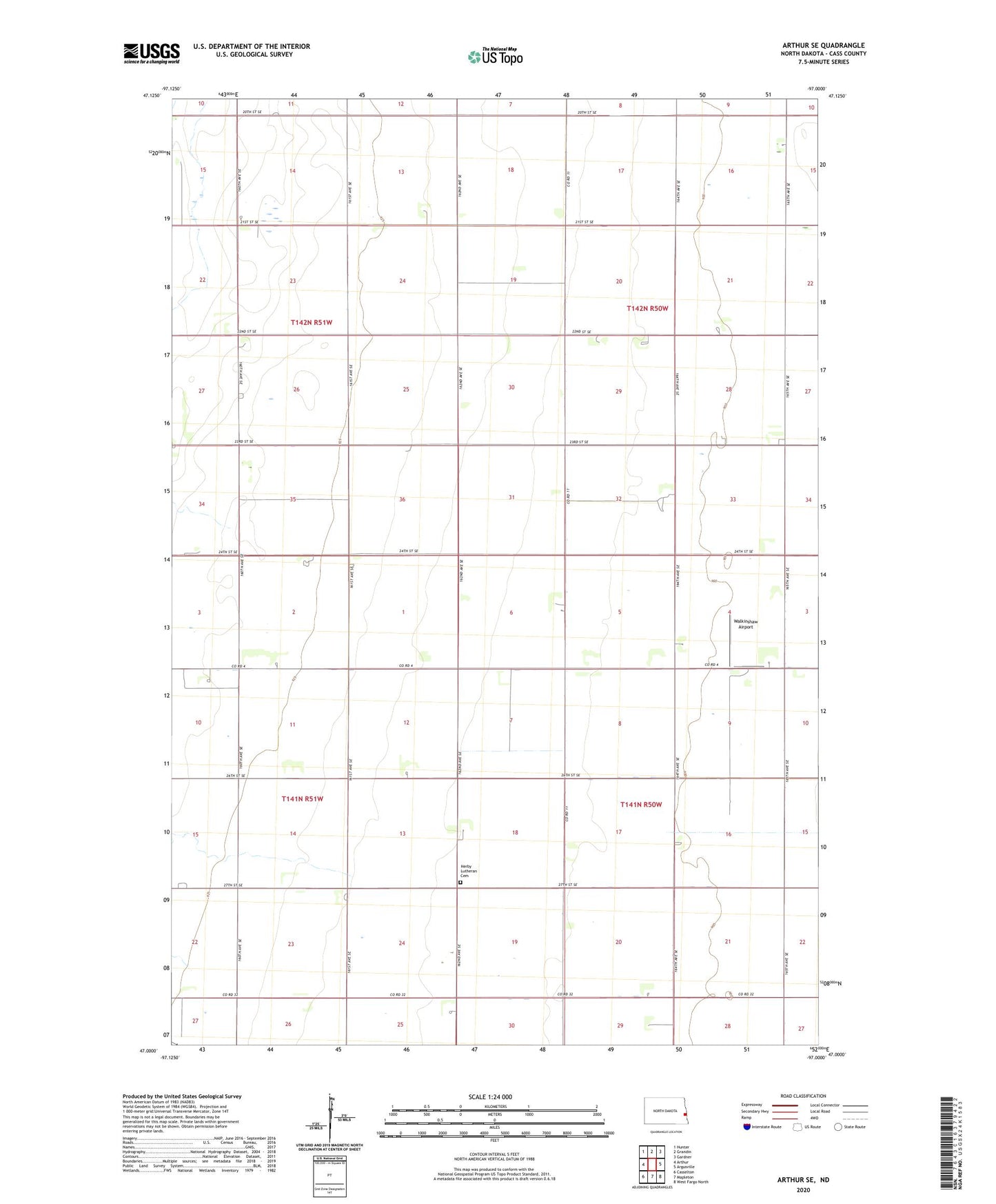
2024 topographic map quadrangle Arthur SE in the state of North Dakota. Scale: 1:24000. Based on the newly updated USGS 7.5' US Topo map series, this map is in the following counties: Cass. The map contains contour data, water features, and other items you are used to seeing on USGS maps, but also has updated roads and other features. This is the next generation of topographic maps. Printed on high-quality waterproof paper with UV fade-resistant inks.
Quads adjacent to this one:
West: Arthur
Northwest: Hunter
North: Grandin
Northeast: Gardner
East: Argusville
Southeast: West Fargo North
South: Mapleton
Southwest: Casselton
This map covers the same area as the classic USGS quad with code o47097a1.
Contains the following named places: Berlin Town Hall, Herby Church, Herby Lutheran Cemetery, Township of Berlin, Township of Gardner, Walkinshaw Airport