MyTopo
Columbus SW North Dakota US Topo Map
Couldn't load pickup availability
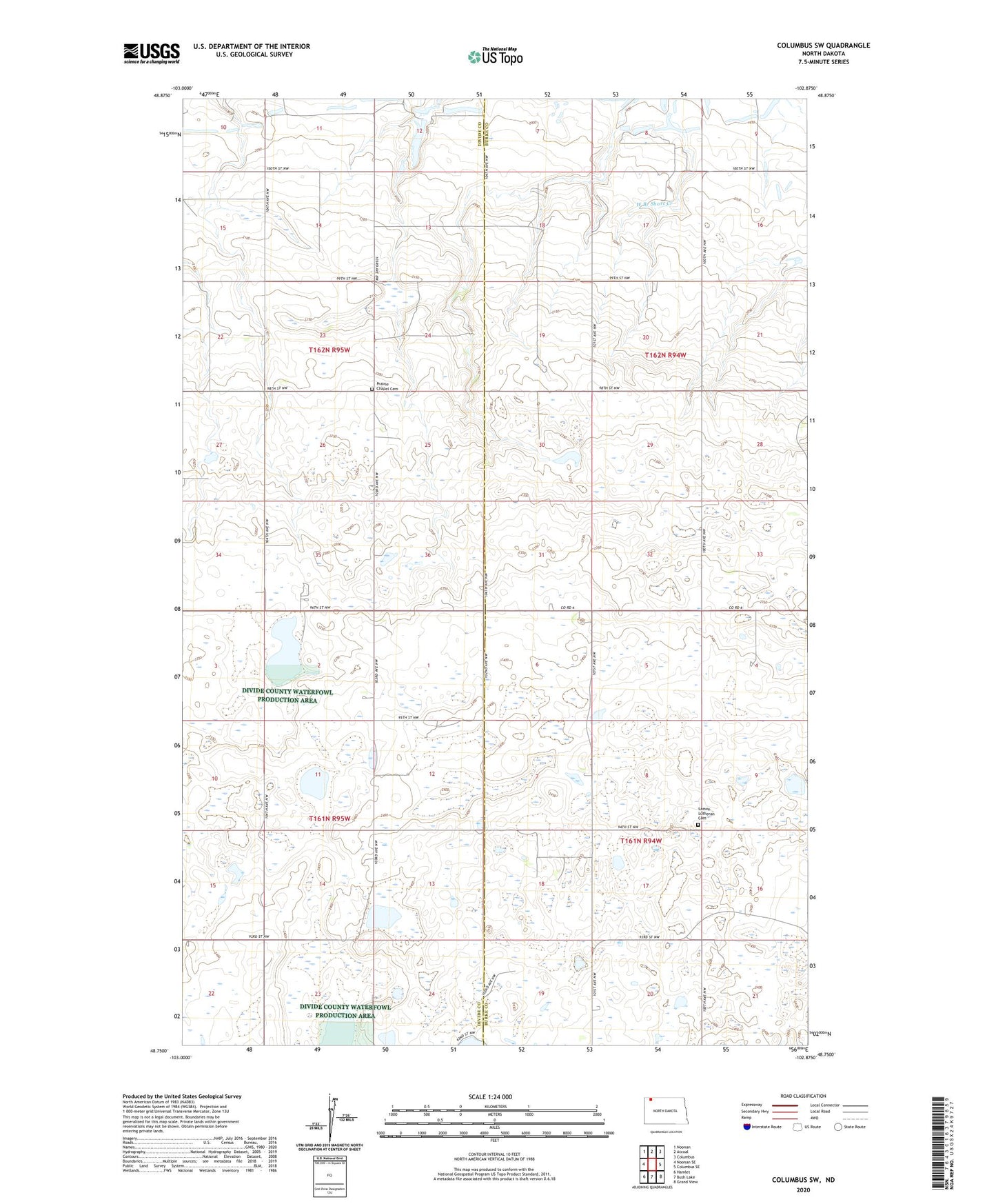
2024 topographic map quadrangle Columbus SW in the state of North Dakota. Scale: 1:24000. Based on the newly updated USGS 7.5' US Topo map series, this map is in the following counties: Burke, Divide. The map contains contour data, water features, and other items you are used to seeing on USGS maps, but also has updated roads and other features. This is the next generation of topographic maps. Printed on high-quality waterproof paper with UV fade-resistant inks.
Quads adjacent to this one:
West: Noonan SE
Northwest: Noonan
North: Atcoal
Northeast: Columbus
East: Columbus SE
Southeast: Grand View
South: Bush Lake
Southwest: Hamlet
This map covers the same area as the classic USGS quad with code o48102g8.
Contains the following named places: Larson Lutheran Cemetery, Prairie Chapel Cemetery, School Number 1, School Number 2, School Number 4, South Saint Olaf Church