MyTopo
Grenora North Dakota US Topo Map
Couldn't load pickup availability
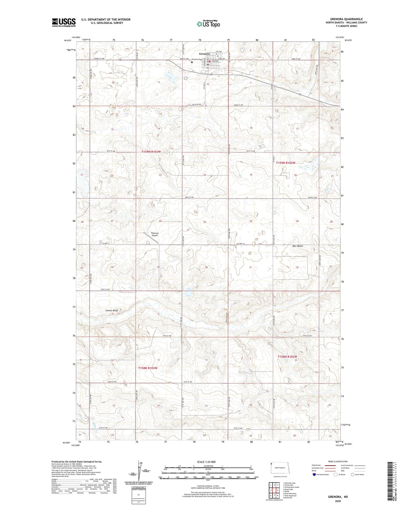
2024 topographic map quadrangle Grenora in the state of North Dakota. Scale: 1:24000. Based on the newly updated USGS 7.5' US Topo map series, this map is in the following counties: Williams. The map contains contour data, water features, and other items you are used to seeing on USGS maps, but also has updated roads and other features. This is the next generation of topographic maps. Printed on high-quality waterproof paper with UV fade-resistant inks.
Quads adjacent to this one:
West: Brush Lake
Northwest: Dominek Lake
North: Camp Lake
Northeast: Writing Rock South
East: Hanks
Southeast: Bonetraill
South: West Bonetraill
Southwest: Brush Mountain
This map covers the same area as the classic USGS quad with code o48103e8.
Contains the following named places: Barr Butte, Barr Butte School, City of Grenora, Fulveg Mine, Grendra Airfield, Grenora, Grenora Ambulance Service, Grenora Cemetery, Grenora City Hall, Grenora Post Office, Grenora Public School, Grenora Rural Fire Protection District, Liberty School Number 1, Peterson Airport, Roosevelt School, Sowers Bluff, Township of Climax, Township of Grenora