MyTopo
Moline School North Dakota US Topo Map
Couldn't load pickup availability
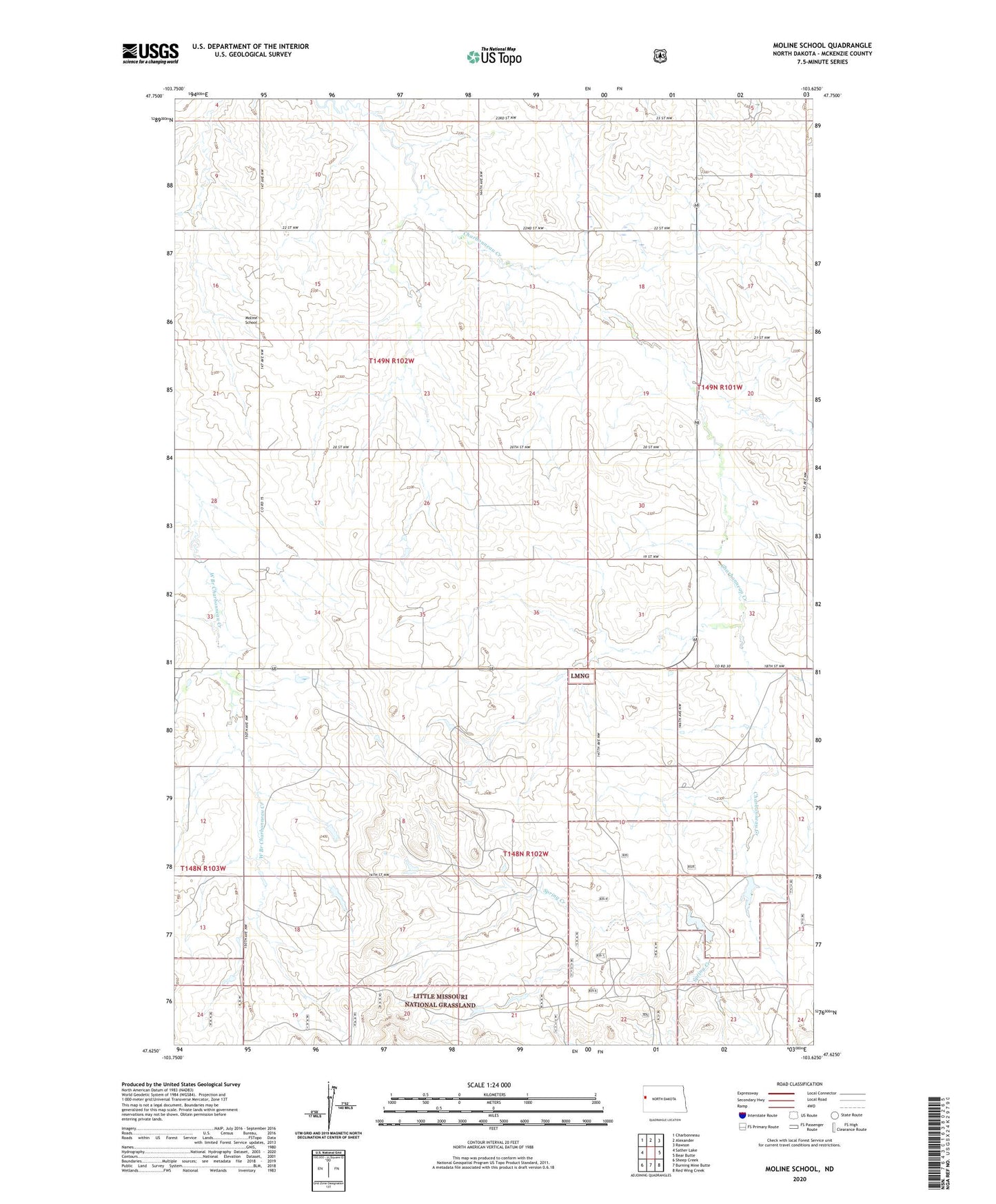
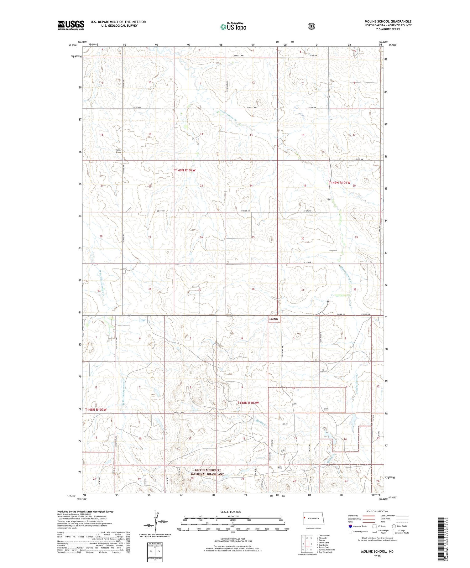
2020 topographic map quadrangle Moline School in the state of North Dakota. Scale: 1:24000. Based on the newly updated USGS 7.5' US Topo map series, this map is in the following counties: McKenzie. The map contains contour data, water features, and other items you are used to seeing on USGS maps, but also has updated roads and other features. This is the next generation of topographic maps. Printed on high-quality waterproof paper with UV fade-resistant inks.
Quads adjacent to this one:
West: Sather Lake
Northwest: Charbonneau
North: Alexander
Northeast: Rawson
East: Bear Butte
Southeast: Red Wing Creek
South: Burning Mine Butte
Southwest: Sheep Creek
Contains the following named places: Box Car Butte Oil Field, Chitwood Airstrip, F Haugen Ranch, Highland Church, K Haugen Ranch, M Cross Ranch, Moline School, O Haugen Ranch, P Nygard Ranch, R Cross Ranch