MyTopo
Oberon North Dakota US Topo Map
Couldn't load pickup availability
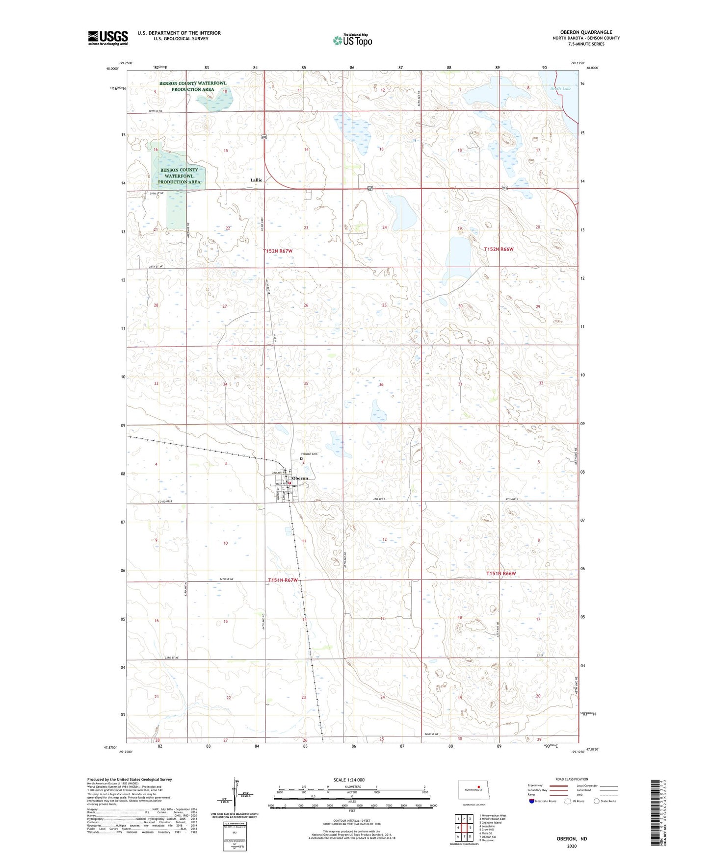
2024 topographic map quadrangle Oberon in the state of North Dakota. Scale: 1:24000. Based on the newly updated USGS 7.5' US Topo map series, this map is in the following counties: Benson. The map contains contour data, water features, and other items you are used to seeing on USGS maps, but also has updated roads and other features. This is the next generation of topographic maps. Printed on high-quality waterproof paper with UV fade-resistant inks.
Quads adjacent to this one:
West: Josephine
Northwest: Minnewaukan West
North: Minnewaukan East
Northeast: Grahams Island
East: Crow Hill
Southeast: Sheyenne
South: Oberon SW
Southwest: Flora SE
This map covers the same area as the classic USGS quad with code o47099h2.
Contains the following named places: City of Oberon, Crow Hill District, Hillside Cemetery, Lakeview School Number 1, Lallie, Oberon, Oberon Elementary School, Oberon Fire Department, Oberon Post Office, Township of Lallie, Township of Oberon, ZIP Code: 58357