MyTopo
Saint John North Dakota US Topo Map
Couldn't load pickup availability
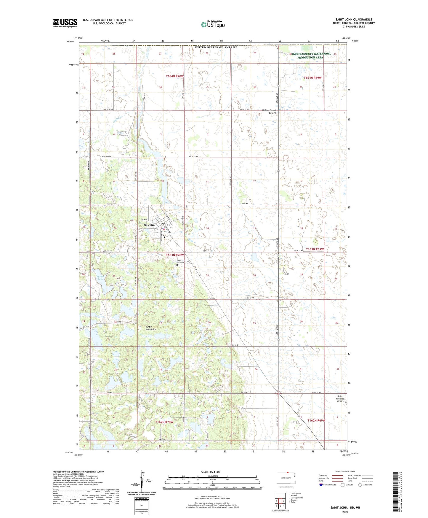
2024 topographic map quadrangle Saint John in the state of North Dakota. Scale: 1:24000. Based on the newly updated USGS 7.5' US Topo map series, this map is in the following counties: Rolette. The map contains contour data, water features, and other items you are used to seeing on USGS maps, but also has updated roads and other features. This is the next generation of topographic maps. Printed on high-quality waterproof paper with UV fade-resistant inks.
Quads adjacent to this one:
West: Lake Upsilon
East: Rolla NE
Southeast: Rolla
South: Belcourt
Southwest: Lake Upsilon SE
This map covers the same area as the classic USGS quad with code o48099h6.
Contains the following named places: Byrnes Lake, City of Saint John, Houle School, Rolette County Historical Society Museum, Saint Claude Park, Saint John, Saint John Cemetery, Saint John Fire Station, Saint John Police Department, Saint John Post Office, Saint John Public School, Syrian Lake