MyTopo
Strasburg North Dakota US Topo Map
Couldn't load pickup availability
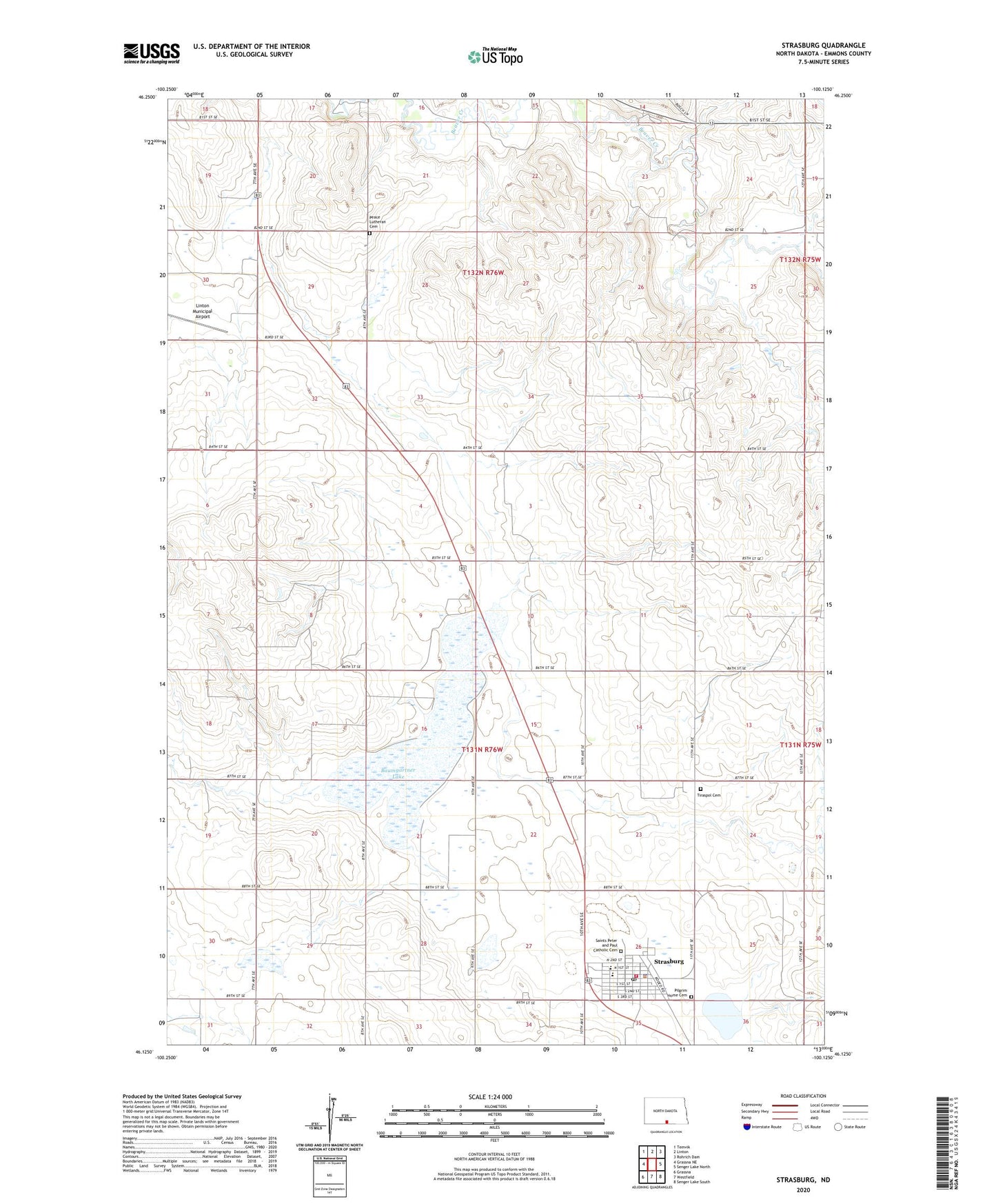
2024 topographic map quadrangle Strasburg in the state of North Dakota. Scale: 1:24000. Based on the newly updated USGS 7.5' US Topo map series, this map is in the following counties: Emmons. The map contains contour data, water features, and other items you are used to seeing on USGS maps, but also has updated roads and other features. This is the next generation of topographic maps. Printed on high-quality waterproof paper with UV fade-resistant inks.
Quads adjacent to this one:
West: Grassna NE
Northwest: Temvik
North: Linton
Northeast: Rohrich Dam
East: Senger Lake North
Southeast: Senger Lake South
South: Westfield
Southwest: Grassna
This map covers the same area as the classic USGS quad with code o46100b2.
Contains the following named places: Baumgartner Lake, City of Strasburg, Linton Municipal Airport, Peace Lutheran Cemetery, Pilgrim Home Cemetery, Saints Peter and Paul Catholic Cemetery, Seeman Park, Strasburg, Strasburg City Hall, Strasburg Elementary School, Strasburg Fire Department, Strasburg High School, Strasburg Nursing Home, Strasburg Police Department, Strasburg Post Office, Tiraspol Cemetery, Township of Strasburg