MyTopo
Tappen South North Dakota US Topo Map
Couldn't load pickup availability
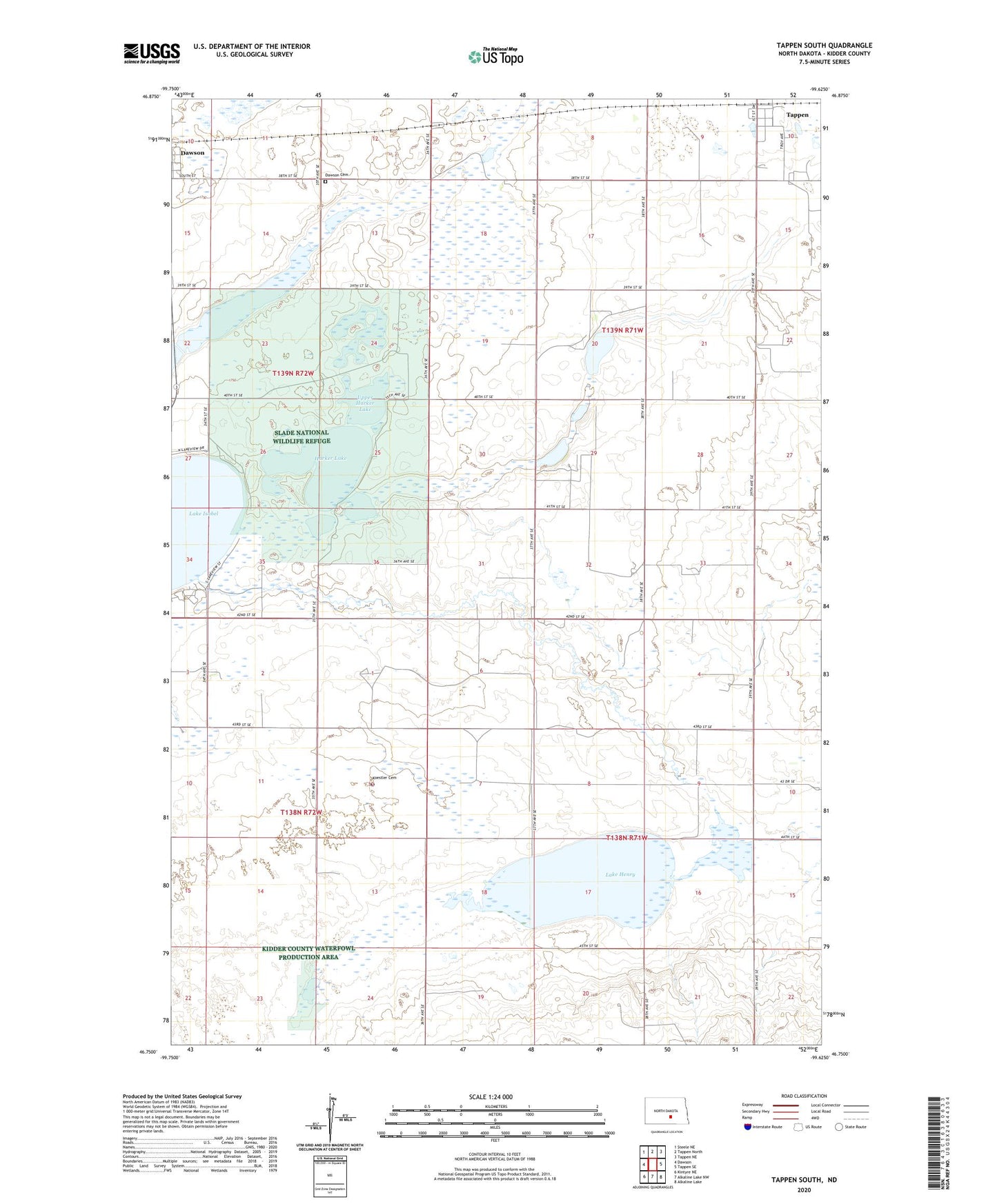
2024 topographic map quadrangle Tappen South in the state of North Dakota. Scale: 1:24000. Based on the newly updated USGS 7.5' US Topo map series, this map is in the following counties: Kidder. The map contains contour data, water features, and other items you are used to seeing on USGS maps, but also has updated roads and other features. This is the next generation of topographic maps. Printed on high-quality waterproof paper with UV fade-resistant inks.
Quads adjacent to this one:
West: Dawson
Northwest: Steele NE
North: Tappen North
Northeast: Tappen NE
East: Tappen SE
Southeast: Alkaline Lake
South: Alkaline Lake NW
Southwest: Kintyre NE
This map covers the same area as the classic USGS quad with code o46099g6.
Contains the following named places: Camp Grassick, City of Tappen, Dawson Cemetery, Harker Lake, Headquarters Lake, Koestler Cemetery, Lake Henry, Lake Isabel, Rott Brothers Airstrip, School Number 28, Slade National Wildlife Refuge, Tappen, Township of Tappen, Township of Valley, Upper Harker Lake