MyTopo
West Bonetraill North Dakota US Topo Map
Couldn't load pickup availability
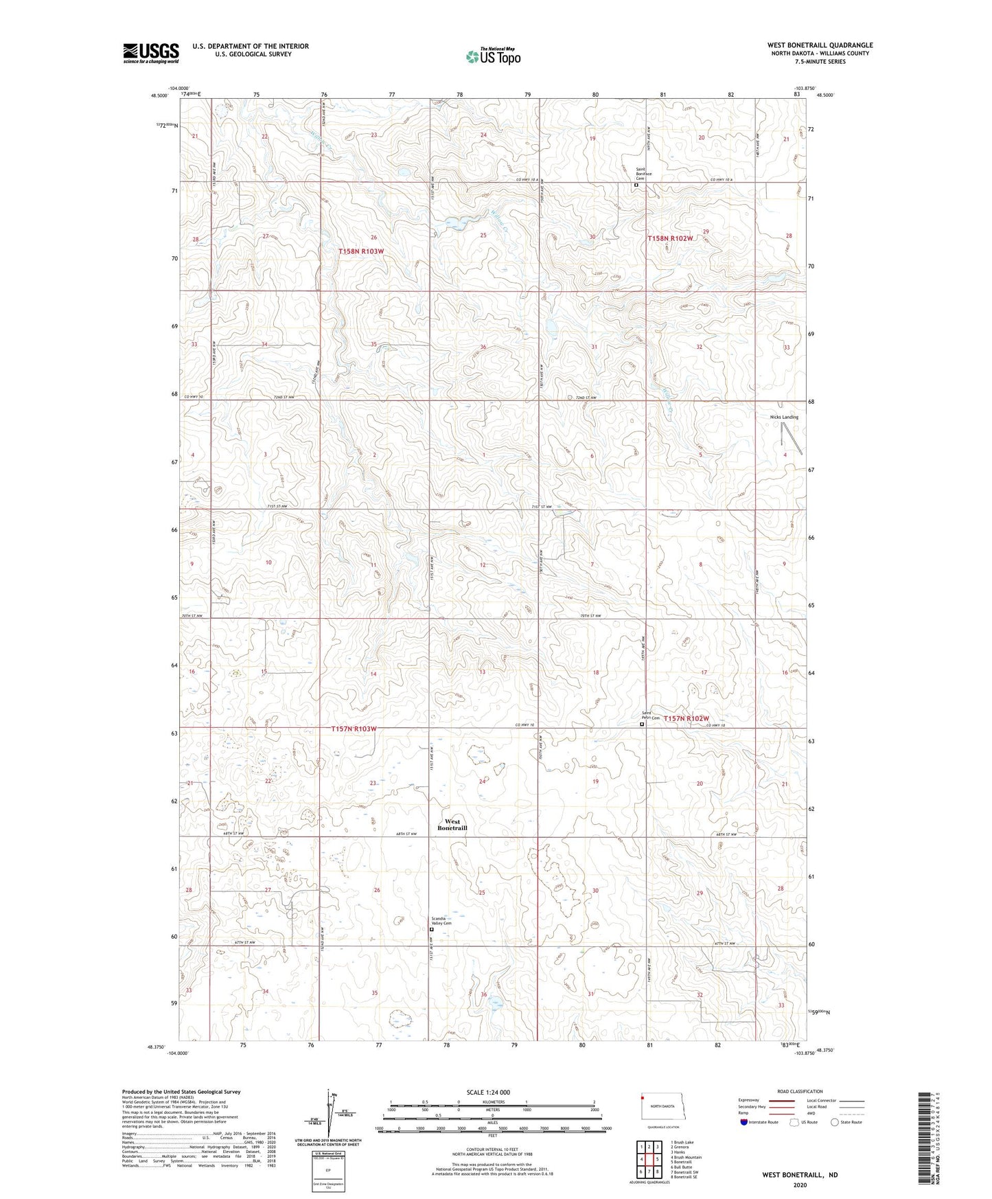
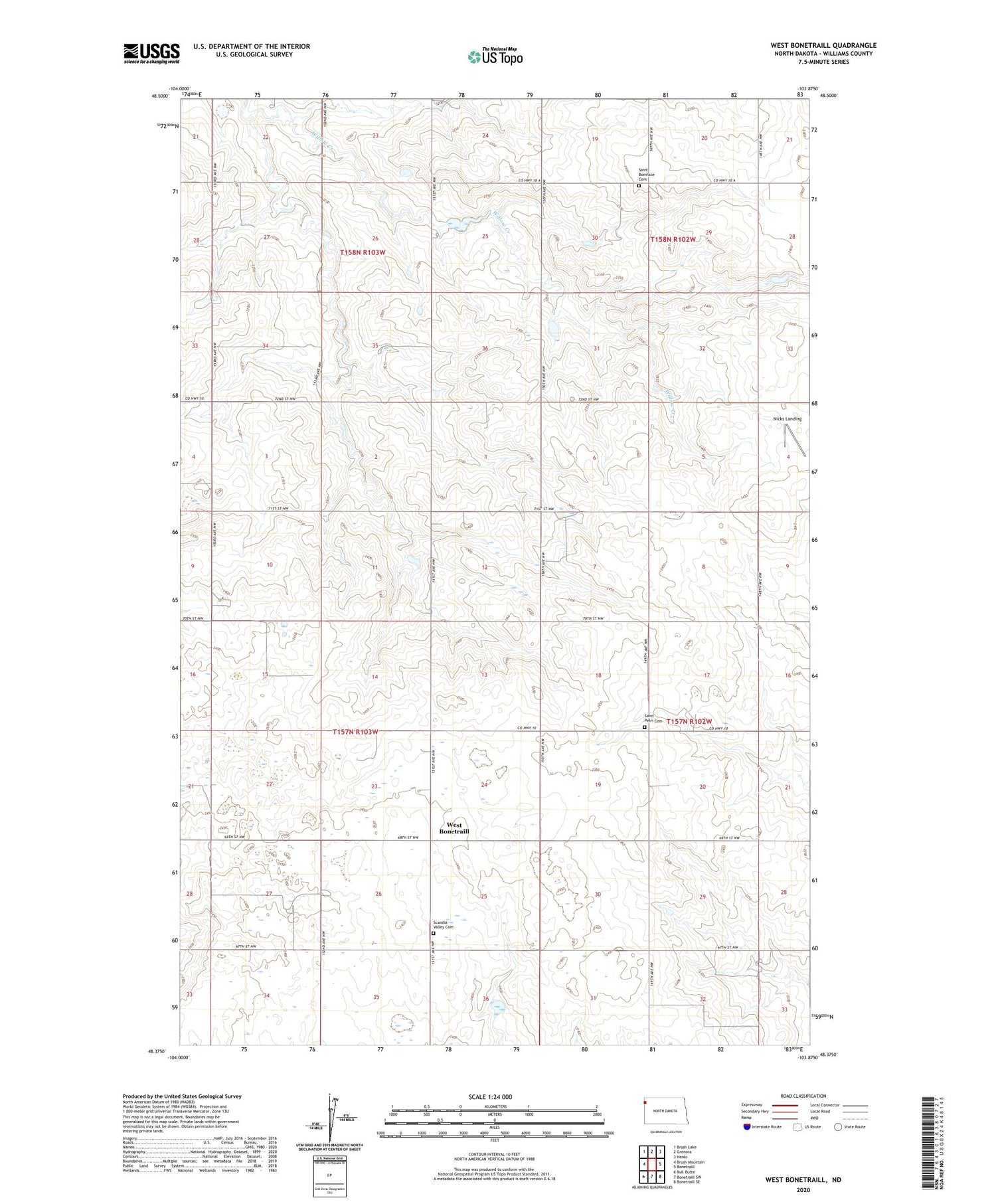
2020 topographic map quadrangle West Bonetraill in the state of North Dakota. Scale: 1:24000. Based on the newly updated USGS 7.5' US Topo map series, this map is in the following counties: Williams. The map contains contour data, water features, and other items you are used to seeing on USGS maps, but also has updated roads and other features. This is the next generation of topographic maps. Printed on high-quality waterproof paper with UV fade-resistant inks.
Quads adjacent to this one:
West: Brush Mountain
Northwest: Brush Lake
North: Grenora
Northeast: Hanks
East: Bonetraill
Southeast: Bonetraill SE
South: Bonetraill SW
Southwest: Bull Butte
Contains the following named places: Nicks Landing, Saint Boniface Cemetery, Saint Petri Cemetery, Saint Petri Church, Scandia Valley Cemetery, Scandia Valley Church, Township of Strandahl, West Bonetraill