MyTopo
Addison Ohio US Topo Map
Couldn't load pickup availability
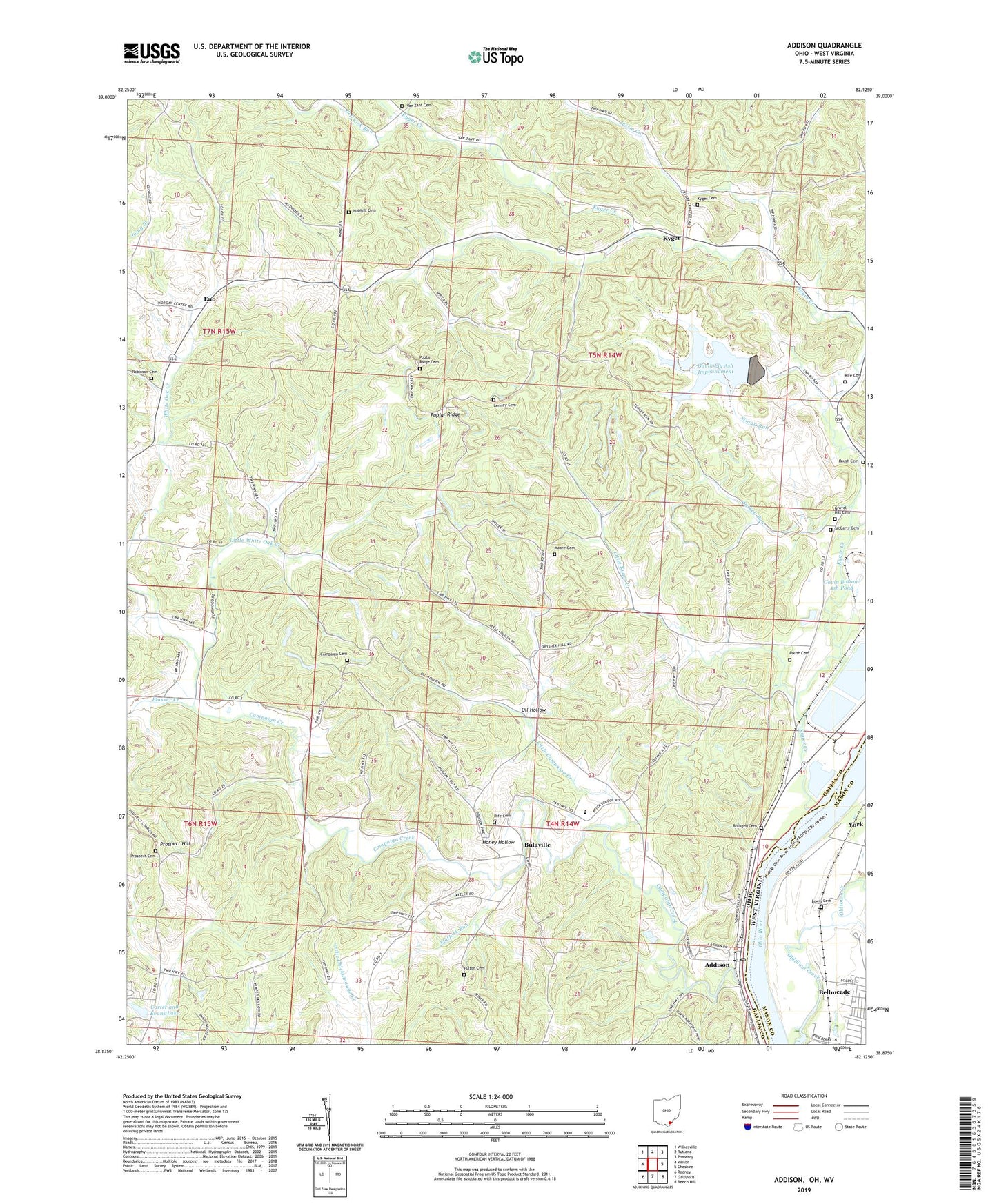
2023 topographic map quadrangle Addison in the states of Ohio, West Virginia. Scale: 1:24000. Based on the newly updated USGS 7.5' US Topo map series, this map is in the following counties: Gallia, Mason. The map contains contour data, water features, and other items you are used to seeing on USGS maps, but also has updated roads and other features. This is the next generation of topographic maps. Printed on high-quality waterproof paper with UV fade-resistant inks.
Quads adjacent to this one:
West: Vinton
Northwest: Wilkesville
North: Rutland
Northeast: Pomeroy
Southeast: Beech Hill
South: Gallipolis
Southwest: Rodney
Contains the following named places: Addaville Elementary School, Addison, Addison Post Office, Bell Lick Run, Bellmeade, Berrys Landing, Blosser Creek, Bulaville, Bulaville Post Office, Campaign Cemetery, Campaign Church, Campaign Creek, Carter and Evans Lake, Carter and Evans Lake Dam, Eno, Eno Church, Eno Post Office, Enterprise Church, Flatfork Run, Fulton Cemetery, Gallia County Sanitary Landfill, Gavin Bottom Ash Pond, Gavin Fly Ash Dam, Gavin Fly Ash Impoundment, Gravel Hill Cemetery, Halfhill Cemetery, Honey Hollow, Jessie Creek, Kyger, Kyger Cemetery, Kyger Church, Kyger Creek, Kyger Creek High School, Kyger Creek Power Plant, Kyger Post Office, Kyger United Methodist Church, Lemley Cemetery, Lewis Cemetery, Lime Kiln Creek, Little Campaign Creek, Little Kyger Church, Little Kyger Creek, Little Kyger Grange, Little White Oak Creek, Lock and Dam Number 25, Locust Lane, Machir Landing, Mason County Emergency Ambulance Service, McCarty Cemetery, Moore Cemetery, Oil Hollow, Poplar Ridge, Poplar Ridge Cemetery, Poplar Ridge Church, Prospect Cemetery, Prospect Church, Prospect Hill, Rife Cemetery, Robinson Cemetery, Rothgeb Cemetery, Roush Cemetery, Stingy Run, Tara Estates, Township of Addison, Township of Cheshire, Turkey Run, Van Zant Cemetery, Wesley Chapel, Whiteoak School, York, ZIP Code: 45620


