MyTopo
Atwater Ohio US Topo Map
Couldn't load pickup availability
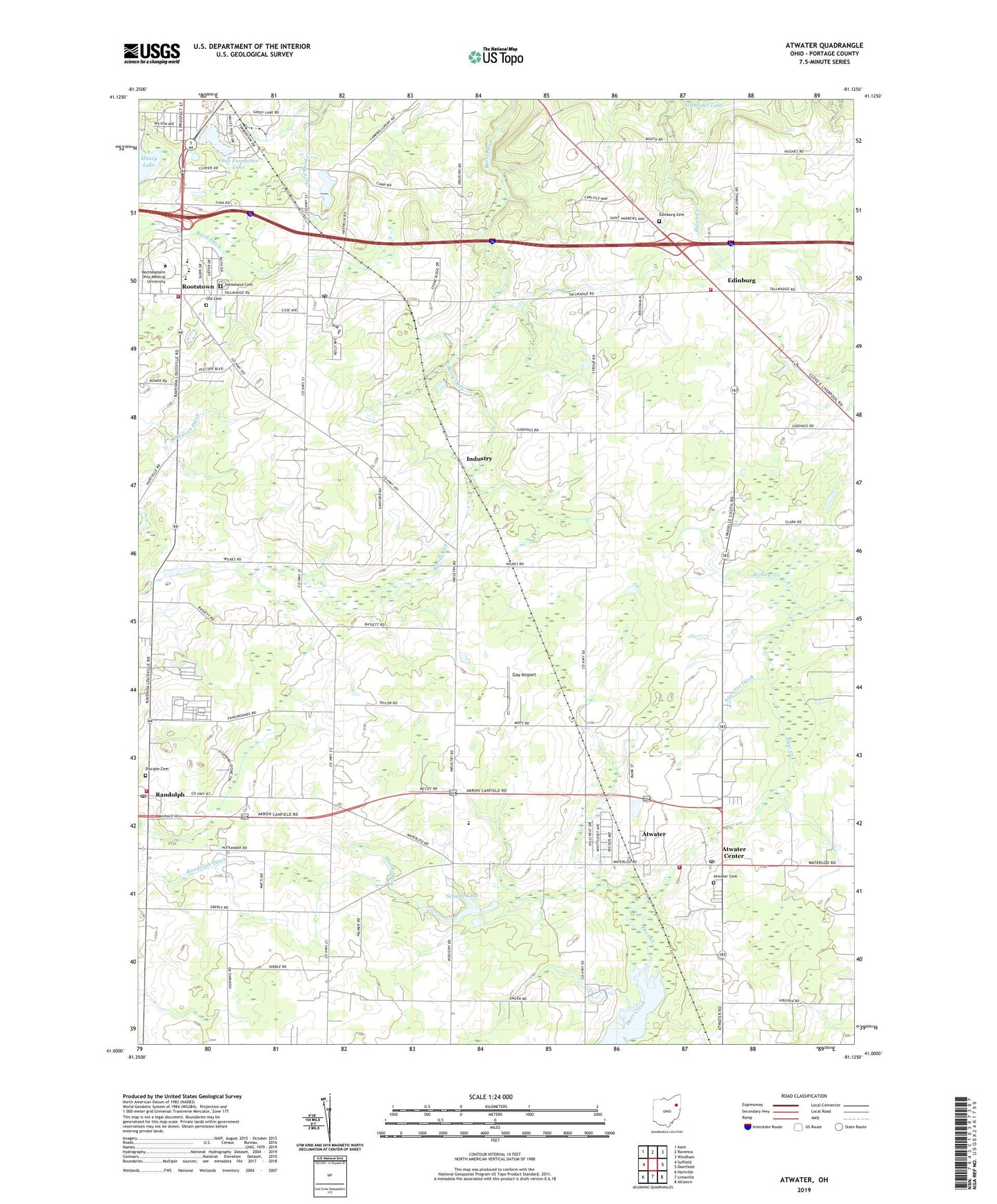
2023 topographic map quadrangle Atwater in the state of Ohio. Scale: 1:24000. Based on the newly updated USGS 7.5' US Topo map series, this map is in the following counties: Portage. The map contains contour data, water features, and other items you are used to seeing on USGS maps, but also has updated roads and other features. This is the next generation of topographic maps. Printed on high-quality waterproof paper with UV fade-resistant inks.
Quads adjacent to this one:
West: Suffield
Northwest: Kent
North: Ravenna
Northeast: Windham
East: Deerfield
Southeast: Alliance
South: Limaville
Southwest: Hartville
This map covers the same area as the classic USGS quad with code o41081a2.
Contains the following named places: Atwater, Atwater Cemetery, Atwater Census Designated Place, Atwater Center, Atwater Congregational Church, Atwater Ditch, Atwater Fire Department, Atwater Post Office, Bertha Bradshaw Elementary School, Countrywide Estates, Disciple Cemetery, Edinburg, Edinburg Cemetery, Edinburg Fire Department, Edinburg Post Office, Edinburg United Church of Christ, Evergreen School, Fairacres Farms, Five Corners, Gay Airport, Haska Fur Farm, Homeland Cemetery, Industry, Industry Post Office, L and M Mold Corporation Airport, Mable Schnee Middle School, Marlee Farm, May's Farm, New Milford, New Milford Creek, New Milford Post Office, Northeastern Ohio University College of Medicine, Oak Tree Farm, Ohio Farmettes Lake, Ohio Farmettes Lake Dam, Old Cemetery, Randolph, Randolph Christian Church, Randolph Ditch, Randolph Post Office, Randolph Township Fire Department, Reed Ditch, Rootstown, Rootstown Congregational Church, Rootstown Fire Department, Rootstown Post Office, Rootstown United Methodist Church, Schultz Lake, Schultz Lake Dam, Shook Ditch, Stone Meadow Farm, Stroup Farms, Township of Atwater, Township of Edinburg, Township of Randolph, Township of Rootstown, Valley Hills, Ward Davis High School, Waterloo High School, Waterloo Middle School, Waterloo Primary School, Wise Farms, ZIP Codes: 44201, 44272


