MyTopo
Berkey Ohio US Topo Map
Couldn't load pickup availability
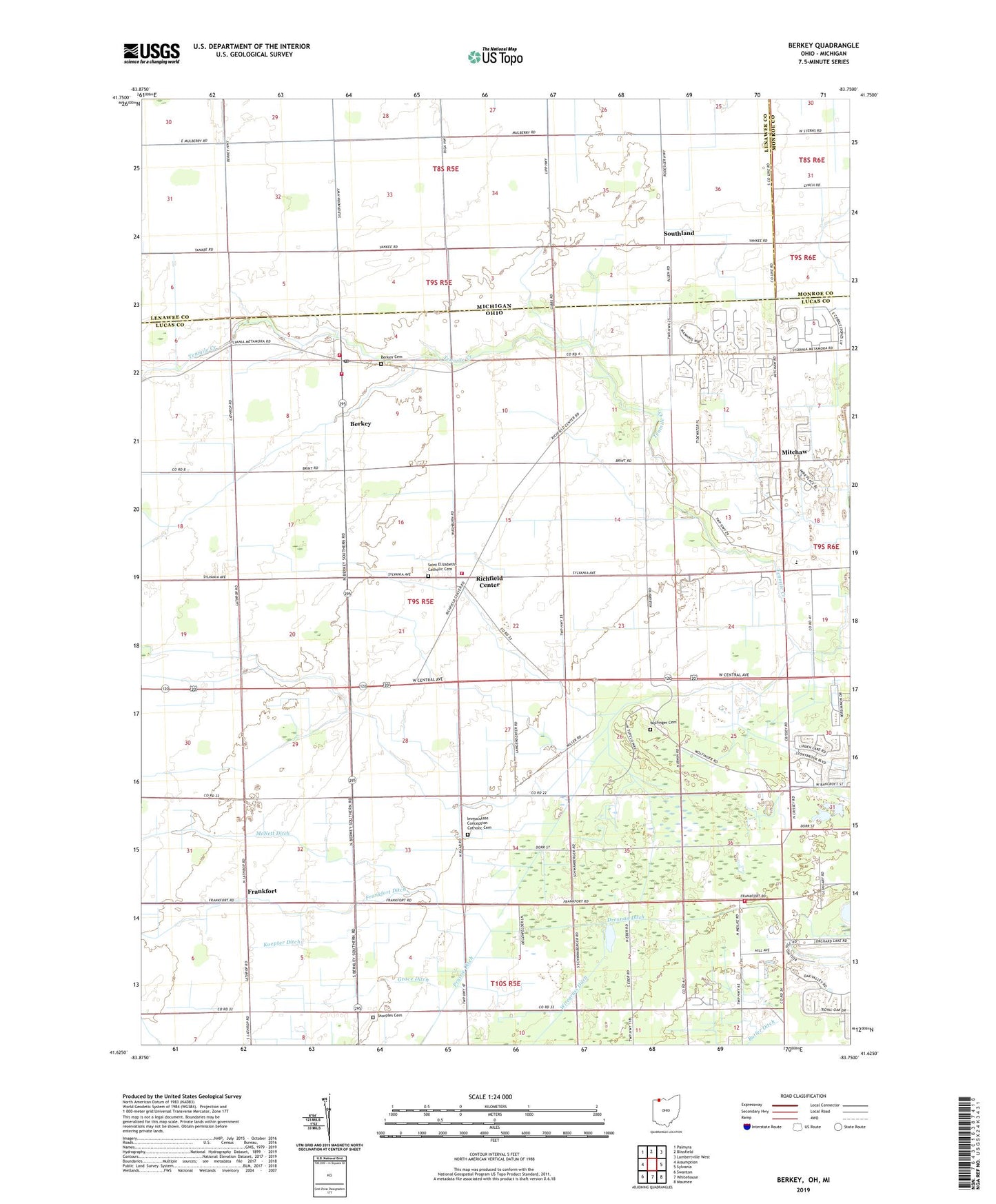
2023 topographic map quadrangle Berkey in the states of Ohio, Michigan. Scale: 1:24000. Based on the newly updated USGS 7.5' US Topo map series, this map is in the following counties: Lucas, Lenawee, Monroe. The map contains contour data, water features, and other items you are used to seeing on USGS maps, but also has updated roads and other features. This is the next generation of topographic maps. Printed on high-quality waterproof paper with UV fade-resistant inks.
Quads adjacent to this one:
West: Assumption
Northwest: Palmyra
North: Blissfield
Northeast: Lambertville West
East: Sylvania
Southeast: Maumee
South: Whitehouse
Southwest: Swanton
This map covers the same area as the classic USGS quad with code o41083f7.
Contains the following named places: Allen Junction, Berkey, Berkey Cemetery, Berkey Congregational Christian Church, Berkey Post Office, Berkey Richfield Township Rescue Squad, Big Ditch, Bowen, Comstock Ditch, Creque's Greenhouse, Drennan Ditch, Farley Church, Farley School, Frankfort, Frankfort Ditch, Glengary Country Club, Gowman Ditch, Grace Ditch, Immaculate Conception Catholic Cemetery, Immaculate Conception Catholic Church, Immaculate Conception School, Irwin Prairie State Nature Preserve, Irwin School, Kellers Strip, Koepter Ditch, Kramer Ditch, Langenderfer Ditch, Leonardson School, McCormick School, McNett Ditch, Mitchaw, Mitchaw Post Office, Ox School, Prairie Ditch, Prairie School, R C Ford Field Airport, Raab Corners, Richfield Center, Richfield Center Post Office, Richfield Township Fire Department, Roberts Ditch, Saint Elizabeths Catholic Cemetery, Sattler Landing Strip Airport, Schmitz Ditch, Schreiber Ditch, Schween School, Secor Metropark, Sharp Ditch, Sharples, Sharples Cemetery, Sharples High School, Sharples School, Smith Ditch, Smith Siding, Southland, Spencer Church, Spencer School Number 1, Spencer School Number 2, Spencer Township Fire and Rescue, Spuyten Duyval Country Club, Township of Richfield, Township of Spencer, Union Church, Village of Berkey, Wiregrass Ditch, Wolfinger Cemetery, ZIP Code: 43504


