MyTopo
Crestline Ohio US Topo Map
Couldn't load pickup availability
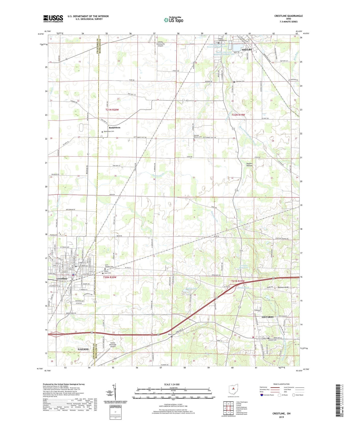
2023 topographic map quadrangle Crestline in the state of Ohio. Scale: 1:24000. Based on the newly updated USGS 7.5' US Topo map series, this map is in the following counties: Richland, Crawford. The map contains contour data, water features, and other items you are used to seeing on USGS maps, but also has updated roads and other features. This is the next generation of topographic maps. Printed on high-quality waterproof paper with UV fade-resistant inks.
Quads adjacent to this one:
West: North Robinson
Northwest: New Washington
North: Shelby
Northeast: Shiloh
East: Mansfield North
Southeast: Mansfield South
South: Blooming Grove
Southwest: Galion
This map covers the same area as the classic USGS quad with code o40082g6.
Contains the following named places: Bethlehem, Calvary Missionary Baptist Church, Calvary United Church of Christ, Chever Park, Church of God of Prophecy, Coltman Cemetery, Conley's Park, Crestline, Crestline Church of the Nazarene, Crestline City Hall, Crestline Elementary School, Crestline Fire Department, Crestline High School, Crestline Hospital Heliport, Crestline Memorial Hospital, Crestline Police Department, Crestline Post Office, Crestline Reservoir, Dowds Elementary School, East Crestline, First Baptist Church of Crestline, First English Evangelical Church, First Presbyterian Church, First United Methodist Church, Five Corners, Galion Municipal Airport, German Reform Cemetery, Grace Baptist Church, Green Lawn Cemetery, Hines, Houts School, Kelly Park, Meadowood Estates Mobile Home Park, Medic Response Ambulance Service, Mobile Manor Park, North Central Technical College Kehoe Center, Oakland Cemetery, Ontario Cemetery, Ontario High School, Ontario Junior High School, Ontario Post Office, Ontario United Methodist Church, Palmer Spring, Pinecrest Mobile Home Park, Ralston Knob, Riblet, Riblet Cemetery, Riblets Post Office, Richland, Sacred Heart Cemetery, Sacred Heart of Jesus Church, Saint Joseph Catholic Church, Saint Josephs Cemetery, School Number 1, School Number 10, School Number 2, School Number 3, School Number 4, School Number 5, School Number 6, Schroeder's Grain Farm, Shafers Hollow, Shelby Fire Department, Shelby Upground Reservoir Number One, Shelby Upground Reservoir Number One Dam, Shelby Upground Reservoir Number Two, Shelby Upground Reservoir Number Two Dam, Southeast Elementary School, Springfield Township Fire Department Station 1, Stanley Run, Stingel Elementary School, Sunset Drive-In, Township of Crestline, Township of Jackson, Township of Sandusky, Township of Sharon, Township of Springfield, Trinity Lutheran Church, Turner Chapel African Methodist Episcopal Church, Vernon Junction, Vernon Junction Post Office, Village of Crestline, Village Park, Walton Lake


