MyTopo
Darbyville Ohio US Topo Map
Couldn't load pickup availability
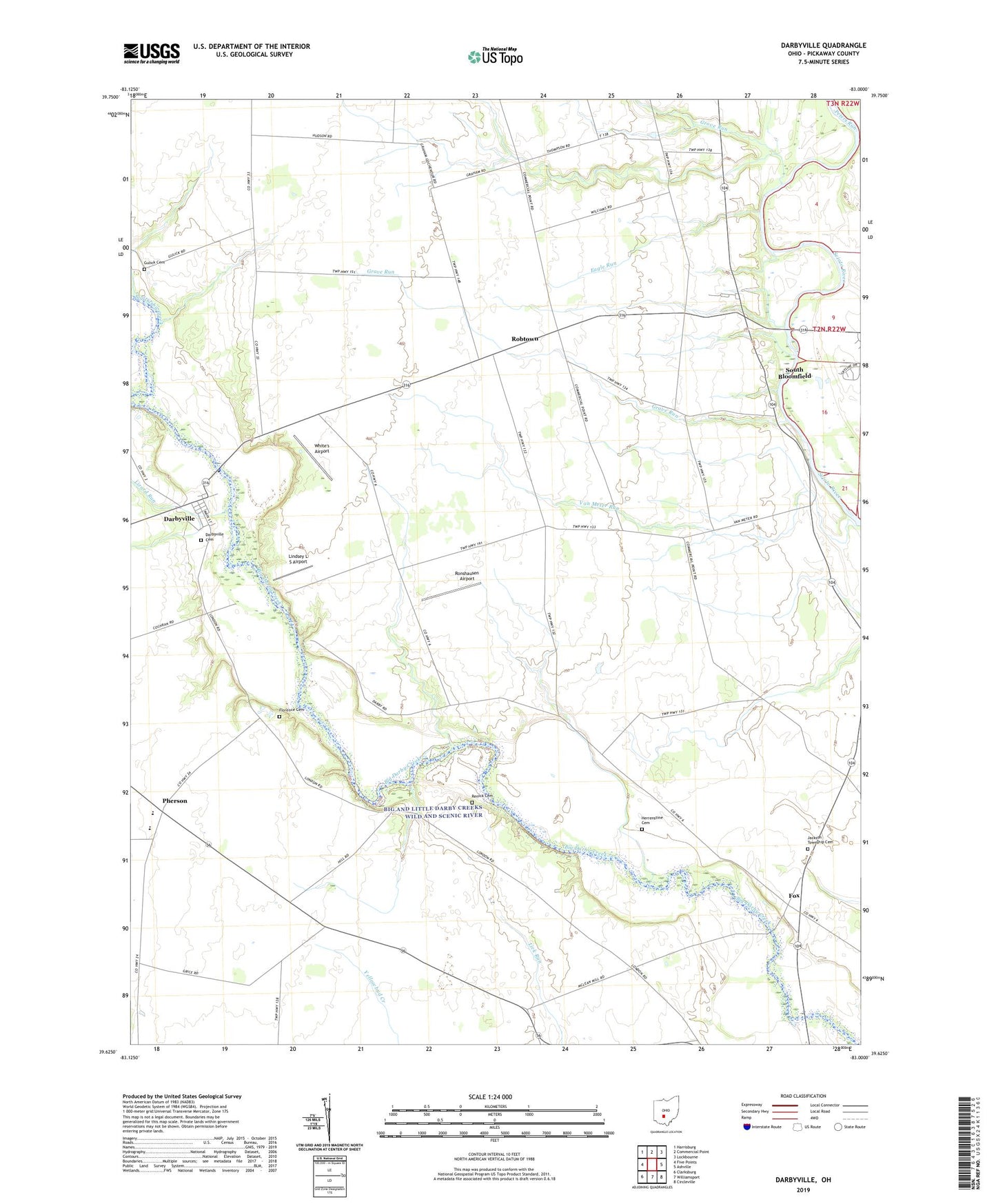
2023 topographic map quadrangle Darbyville in the state of Ohio. Scale: 1:24000. Based on the newly updated USGS 7.5' US Topo map series, this map is in the following counties: Pickaway. The map contains contour data, water features, and other items you are used to seeing on USGS maps, but also has updated roads and other features. This is the next generation of topographic maps. Printed on high-quality waterproof paper with UV fade-resistant inks.
Quads adjacent to this one:
West: Five Points
Northwest: Harrisburg
North: Commercial Point
Northeast: Lockbourne
East: Ashville
Southeast: Circleville
South: Williamsport
Southwest: Clarksburg
This map covers the same area as the classic USGS quad with code o39083f1.
Contains the following named places: B and D Farms, Beckman Field Airport, Bell School, Caldwell School, Carvel Manor Mobile Home Park, Clarks Dream Strip, Clemmons Farm, Darbyville, Darbyville Cemetery, Darbyville Post Office, Eagle Run, Florence Cemetery, Florence School, Fox, Fox Post Office, Foxfield Thoroughbred Farm, Frogeye School, Georges Run, Gochenour School, Grave Run, Grove Run, Grove School, Gulick Cemetery, Herrenstine Cemetery, Hill School, Hott Farm Cemetery, Huston Farms, Jackson Elementary School, Jackson Township Cemetery, Lick Run School, Lindsey L S Airport, Lizard Run, Mace Farms, Pherson, Pherson Post Office, Pickaway County, Pritchard School, Redman Farms, Renick Cemetery, Robtown, Robtown Post Office, Ronshausen Airport, Ruff Farms, Schleich School, School Number 1, Scioto Chapel, Shadyside School, Township of Jackson, Township of Muhlenberg, Van Meter Run, Van Meter School, Village of Darbyville, Walker School, Waycar Farm, Westfall High School, White's Airport


