MyTopo
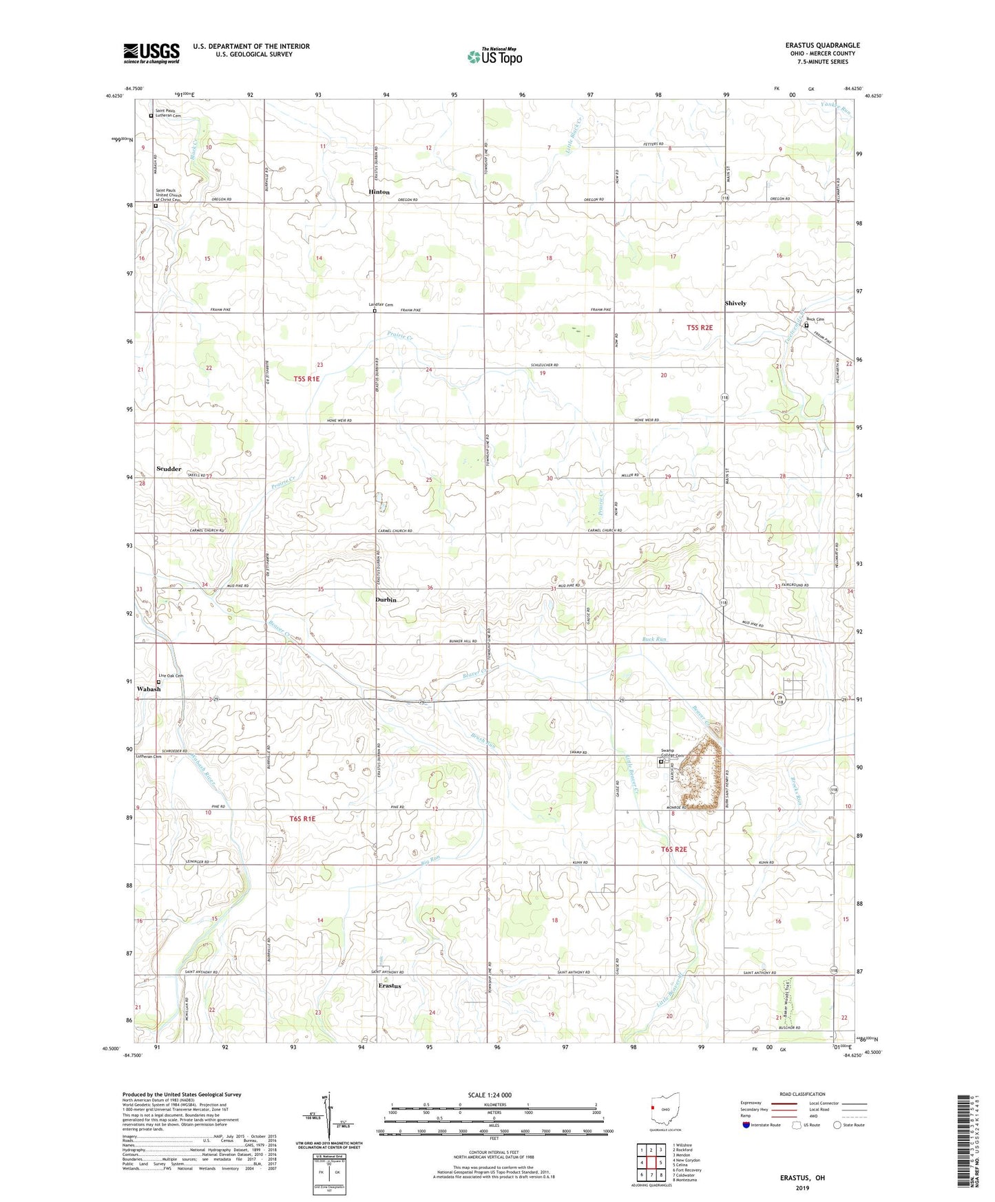
Erastus Ohio US Topo Map
Couldn't load pickup availability
2023 topographic map quadrangle Erastus in the state of Ohio. Scale: 1:24000. Based on the newly updated USGS 7.5' US Topo map series, this map is in the following counties: Mercer. The map contains contour data, water features, and other items you are used to seeing on USGS maps, but also has updated roads and other features. This is the next generation of topographic maps. Printed on high-quality waterproof paper with UV fade-resistant inks.
Quads adjacent to this one:
West: New Corydon
Northwest: Willshire
North: Rockford
Northeast: Mendon
East: Celina
Southeast: Montezuma
South: Coldwater
Southwest: Fort Recovery
This map covers the same area as the classic USGS quad with code o40084e6.
Contains the following named places: Beaver Chapel, Bennett School, Big Run, Brehm, Brehm Post Office, Brock School, Brocks Run, Brush Run, Buck Cemetery, Buck Run, Buck School, Bunge Park, Celina Quarry, Center School, Chesser Dairy, Crab Branch, Crouch School, Durbin, Durbin Post Office, Eden Haven Park, Erastus, Erastus Post Office, Friends Home Church, Ham School, Hinton, Hinton Post Office, Hope Church, Joint School Number 1, Joint School Number 10, Karch Stone Quarry, Landfair Cemetery, Landfair Church, Landfair School, Little Beaver Creek, Live Oak Cemetery, Mercer County, Miller School, Mount Carmel Church, Pearstof School, Pleasant View Church, Prairie Creek, Prospect School, Saint John Church, Saint Paul Church, Saint Pauls Church, Saint Pauls Lutheran Cemetery, Saint Pauls United Church of Christ Cemetery, School Number 7, School Number 8, Scudder, Scudder Post Office, Scudder School, Shively, Striptown, Swamp College Cemetery, Township of Hopewell, Township of Liberty, Township of Washington, Union School, Wabash


