MyTopo
Willshire Ohio US Topo Map
Couldn't load pickup availability
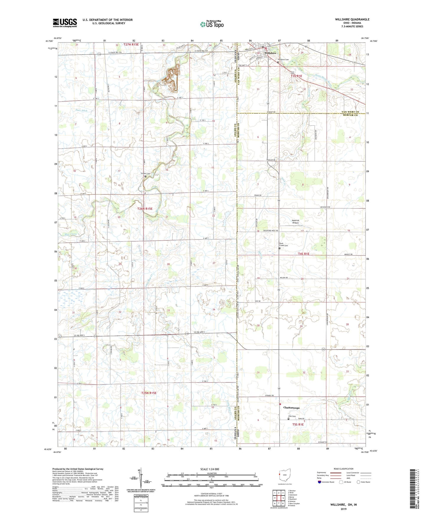
2023 topographic map quadrangle Willshire in the states of Indiana, Ohio. Scale: 1:24000. Based on the newly updated USGS 7.5' US Topo map series, this map is in the following counties: Mercer, Adams, Van Wert. The map contains contour data, water features, and other items you are used to seeing on USGS maps, but also has updated roads and other features. This is the next generation of topographic maps. Printed on high-quality waterproof paper with UV fade-resistant inks.
Quads adjacent to this one:
West: Berne
Northwest: Decatur
North: Wren
Northeast: Glenmore
East: Rockford
Southeast: Erastus
South: New Corydon
Southwest: Geneva
This map covers the same area as the classic USGS quad with code o40084f7.
Contains the following named places: Adam's Farms, Adams Swine Farms, Bethel Church, Blue Creek Amish School, Brumback Library Willshire Branch, Calvary Church, Chattanooga, Chattanooga Fire Department, Chattanooga Post Office, Duck Creek, Duck Creek Cemetery, Duck Creek School, Hamrick Airport, Little Blue Creek, Mount Hope Church, Number 3 School, Parkway Middle School, Pleasant Mills Quarry, Saint Paul Church, Salem, School Number 3, Township of Blue Creek, Tricker Cemetery, Union Church, Village of Willshire, Wildcat School, Willshire, Willshire Cemetery, Willshire Fire Department, Willshire Post Office, Willshire United Methodist Church, Winkler Airport, Zion Cemetery, ZIP Code: 45898