MyTopo
Hillsboro Ohio US Topo Map
Couldn't load pickup availability
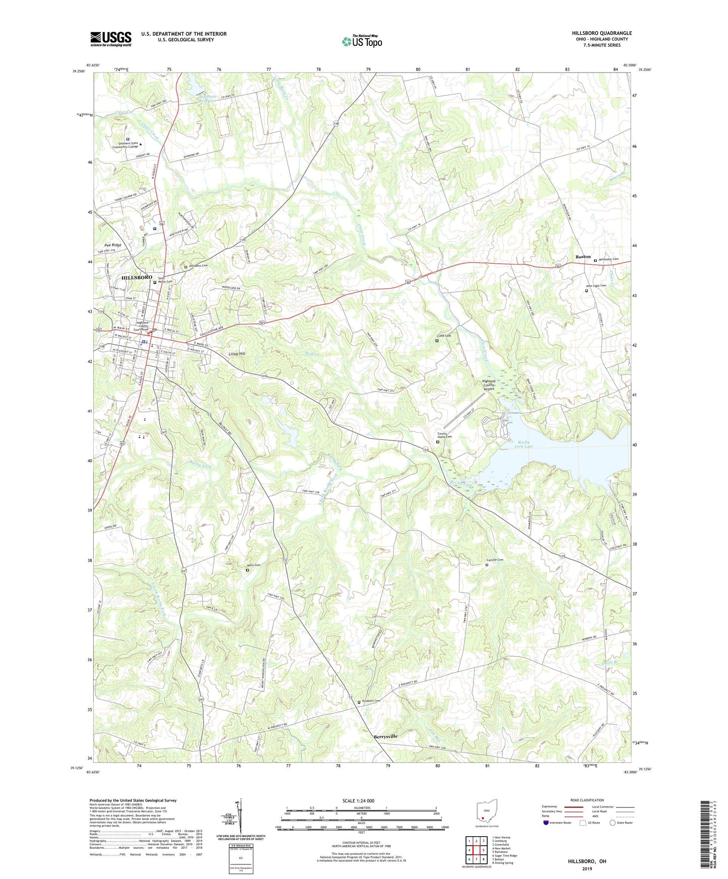
2023 topographic map quadrangle Hillsboro in the state of Ohio. Scale: 1:24000. Based on the newly updated USGS 7.5' US Topo map series, this map is in the following counties: Highland. The map contains contour data, water features, and other items you are used to seeing on USGS maps, but also has updated roads and other features. This is the next generation of topographic maps. Printed on high-quality waterproof paper with UV fade-resistant inks.
Quads adjacent to this one:
West: New Market
Northwest: New Vienna
North: Leesburg
Northeast: Greenfield
East: Rainsboro
Southeast: Sinking Spring
South: Belfast
Southwest: Sugar Tree Ridge
This map covers the same area as the classic USGS quad with code o39083b5.
Contains the following named places: Bates School, Beechwoods School, Berrysville, Berrysville Post Office, Blair Modern Trailer Court, Boston, Brook School, Carlisle Cemetery, Carlyle School, Church of Christ, City of Hillsboro, Clear Creek, Clear Creek School, Clyde Valley Farm, Cornerstone Family Worship Center, County Home Cemetery, Coyote Creek Farm, Creek Cemetery, Deer Loop Trail, East Main Street Historic District, Elton School, Fettro Farms, First Baptist Church, First United Methodist Church, Glenn School, Highland County, Highland County Airport, Highland County Courthouse, Highland County Fairgrounds, Highland County Infirmary, Highland County Law Library, Highland County Sheriff's Office, Highland District Hospital, Highland District Medical Heliport, Highland Plaza Shopping Center, Hillsboro, Hillsboro Academy, Hillsboro Cemetery, Hillsboro Fire Department and Emergency Rescue Service, Hillsboro High School, Hillsboro Historic Business District, Hillsboro Mobile Home Park, Hillsboro Police Department, Hillsboro Post Office, Hillsboro Reservoir, Hillsboro Reservoir Dam, Hines Farms, Houp School, Kelly Cemetery, Lilley Hill, Little Lamb Christian Pre-School, Little Rock Creek, Lynwood Terrace, Methodist Cemetery, Mount Washington Church, Mount Washington School, New Hope Baptist Church, New Light Cemetery, Paw Paw Trail, Prospect, Prospect Cemetery, Prospect Methodist Church, Rocky Fork Golf Course, Saint Marys Catholic Church, Saint Marys Cemetery, Saint Marys Episcopal Church, Schweiger Farm, South Fork Rocky Fork, Township of Liberty, Van Buren Farms, Washington Elementary School, Waymans Chapel African Methodist Episcopal Church, Webster Elementary School, Wolf Creek, WSRW-AM (Hillsboro), WSRW-FM (Hillsboro), ZIP Code: 45133


