MyTopo
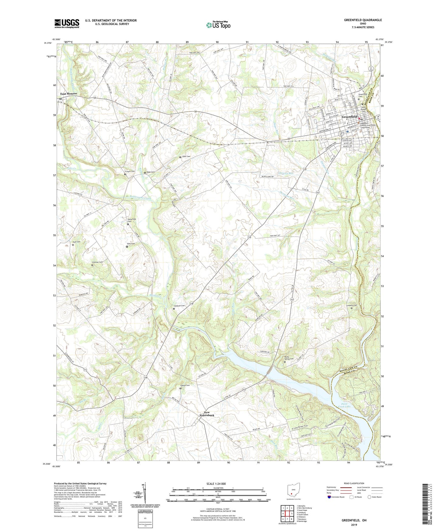
Greenfield Ohio US Topo Map
Couldn't load pickup availability
2023 topographic map quadrangle Greenfield in the state of Ohio. Scale: 1:24000. Based on the newly updated USGS 7.5' US Topo map series, this map is in the following counties: Highland, Ross. The map contains contour data, water features, and other items you are used to seeing on USGS maps, but also has updated roads and other features. This is the next generation of topographic maps. Printed on high-quality waterproof paper with UV fade-resistant inks.
Quads adjacent to this one:
West: Leesburg
Northwest: Memphis
North: New Martinsburg
Northeast: Good Hope
East: South Salem
Southeast: Bainbridge
South: Rainsboro
Southwest: Hillsboro
This map covers the same area as the classic USGS quad with code o39083c4.
Contains the following named places: Adena Greenfield Medical Center, Ash Grove School, Baldwin Farms, Big Branch, Buttermilk School, Caldwell Cemetery, Cedar Glen Farms, Cedar Run, Centerfield, Central Church of Christ, Christian Baptist Church, Church of Christ in Christian Union, Church of the Nazarene, Cowman Cemetery, Cramer School, Crispin Cemetery, Dollarhide Cemetery, Duncan McArthur Primary School, Duncan Run, Duncan School, East Monroe, East Monroe Post Office, Elliott School, Fall Creek, Farmers Run, First Baptist Church, First Church of God, First Methodist Church, First Presbyterian Church, First United Brethren Church, Gilboa Cemetery, Gospel Lighthouse Church, Greenfield, Greenfield Cemetery, Greenfield City Hall, Greenfield Elementary School, Greenfield Emergency Medical Service, Greenfield Fire Department, Greenfield Junior High School, Greenfield Police Department, Greenfield Post Office, Hardin Creek, Holliday Run, Huff Cemetery, Island Grove Mill, Kimballs Mobile Home Park, Kingdom Hall of Jehovahs Witnesses, Lees Creek, Limes School, Littler School, Lunbeck Cemetery, McClain High School, Nelson Farm, New Petersburg, New Petersburg Post Office, New Petersburg United Methodist Church, Odell School, Opossum Run, Paint Creek Lake, Paint Creek State Park, Pope Cemetery, Ranch Drive-In, Rattlesnake Creek, Rocky Spring Cemetery, Rocky Spring Presbyterian Church, Rocky Spring School, Rowe Family Farm, Saint Benignus Church, Saint Josephs Cemetery, Shiloh Baptist Church, Simmons School, Sugar Run, Township of Madison, Tyler Cemetery, Unger Field Airport, Village of Greenfield, Walnut Creek, Watt School, ZIP Code: 45123


