MyTopo
Jackson Ohio US Topo Map
Couldn't load pickup availability
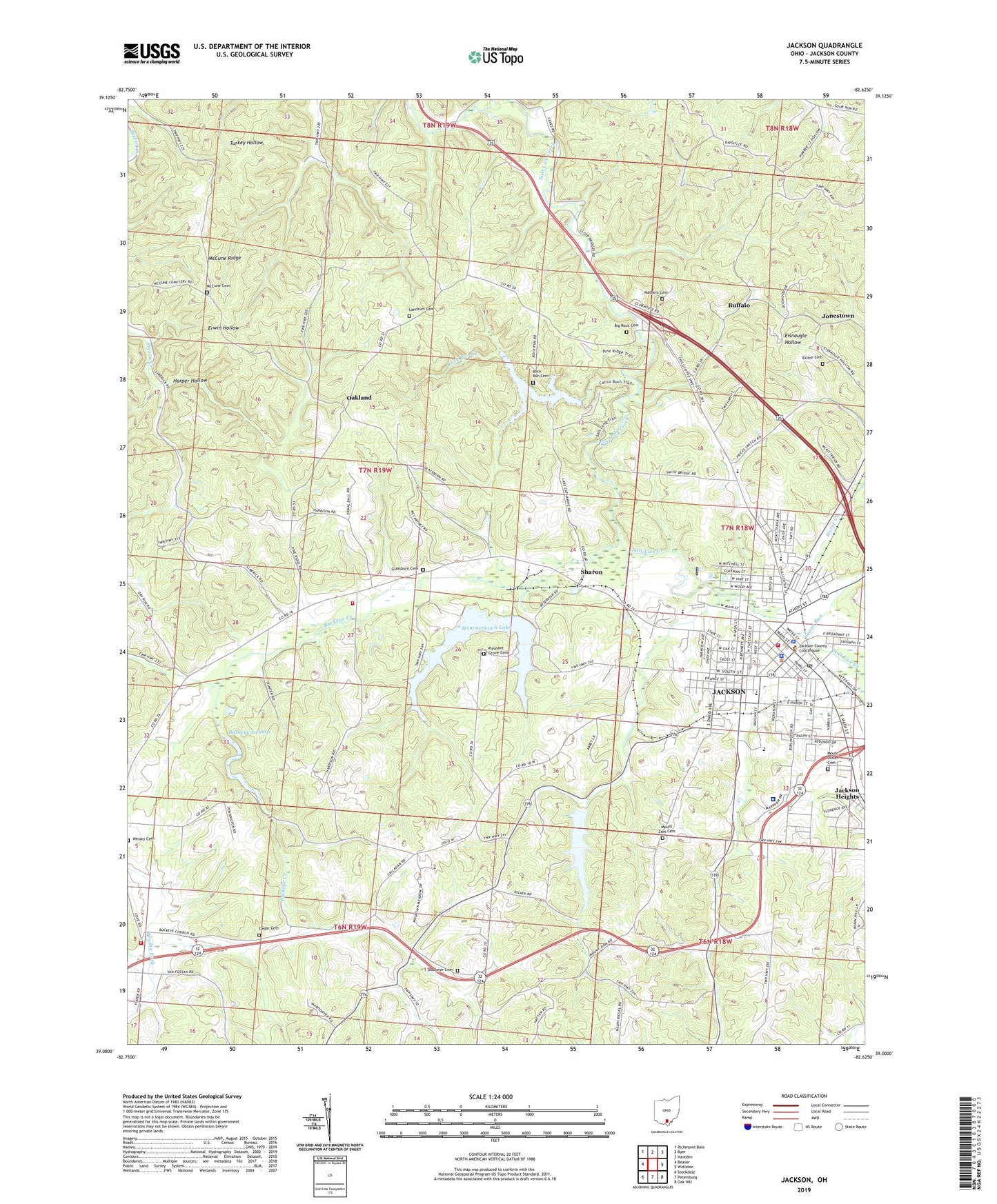
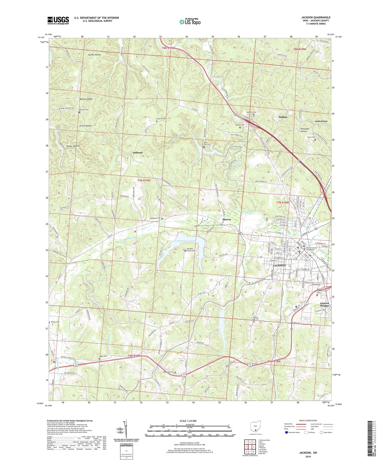
2023 topographic map quadrangle Jackson in the state of Ohio. Scale: 1:24000. Based on the newly updated USGS 7.5' US Topo map series, this map is in the following counties: Jackson. The map contains contour data, water features, and other items you are used to seeing on USGS maps, but also has updated roads and other features. This is the next generation of topographic maps. Printed on high-quality waterproof paper with UV fade-resistant inks.
Quads adjacent to this one:
West: Beaver
Northwest: Richmond Dale
North: Byer
Northeast: Hamden
East: Wellston
Southeast: Oak Hill
South: Petersburg
Southwest: Stockdale
This map covers the same area as the classic USGS quad with code o39082a6.
Contains the following named places: Apostolic Church, Beeterman Chapel, Big Rock Cemetery, Buckeye Cemetery, Buckeye Church, Buckeye Creek, Buckeye Swamp, Buffalo, Calvary United Methodist Church, Camp Arrowhead, Cedar Cemetery, Centerpoint School, Chestnut Grove School, Christ United Methodist Church, Church of God, City of Jackson, Cove, Cove School, Eddie Jones Park, Emmanuel Baptist Church, Exline Cemetery, Faith Lutheran Church, Faith Victory Chapel, Fellowship Baptist Church, First Baptist Church, First Church of the Nazarene, First Presbyterian Church, Glassburn Cemetery, Grace United Methodist Church, Hammertown Lake, Hammertown Lake Dam, Harper Hollow, Holy Trinity Catholic Church, Holzer Medical Center - Jackson, Horse Creek, Jackson, Jackson Assembly of God Church, Jackson Christian Church, Jackson Church, Jackson City Hall, Jackson County Courthouse, Jackson County Jail, Jackson County Sheriff's Office, Jackson Fire Department, Jackson Furnace, Jackson Heights, Jackson Heliport, Jackson High School, Jackson Police Department, Jackson Post Office, Jisco Lake, Jisco Lake Dam, Jonestown, Kinnison Elementary School, Lake Katharine, Lake Katharine Dam, Lake Katharine State Nature Preserve, Landmark Apostolic Church, Landrum Cemetery, Liberty School, Liberty Township Volunteer Fire Department, Lick Middle School, Manpower Park, Mathers Cemetery, McCune Cemetery, McCune Ridge, McKinley Park, Mound School, Mount Olivet Cemetery, Mount Zion Cemetery, Mount Zion Methodist Episcopal Church, Mount Zion School, Oakland, Oakland School, Ohio State Highway Patrol - Jackson Patrol Post, Parkview Elementary School, Pilgrim Holiness Church, Pine School, Pleasant Grove Cemetery, Pleasant Grove Church, Pope School, Reorganized Church of Jesus Christ of Latter Day Saints, Rock Run Cemetery, Rock Run Creek, Sharon, South Street Elementary School, Sugar Run, The Church of Jesus Christ of Latter Day Saints, Township of Liberty, Valley Chapel, Wesley Cemetery, Wesley Chapel, ZIP Code: 45640


