MyTopo
Petersburg Ohio US Topo Map
Couldn't load pickup availability
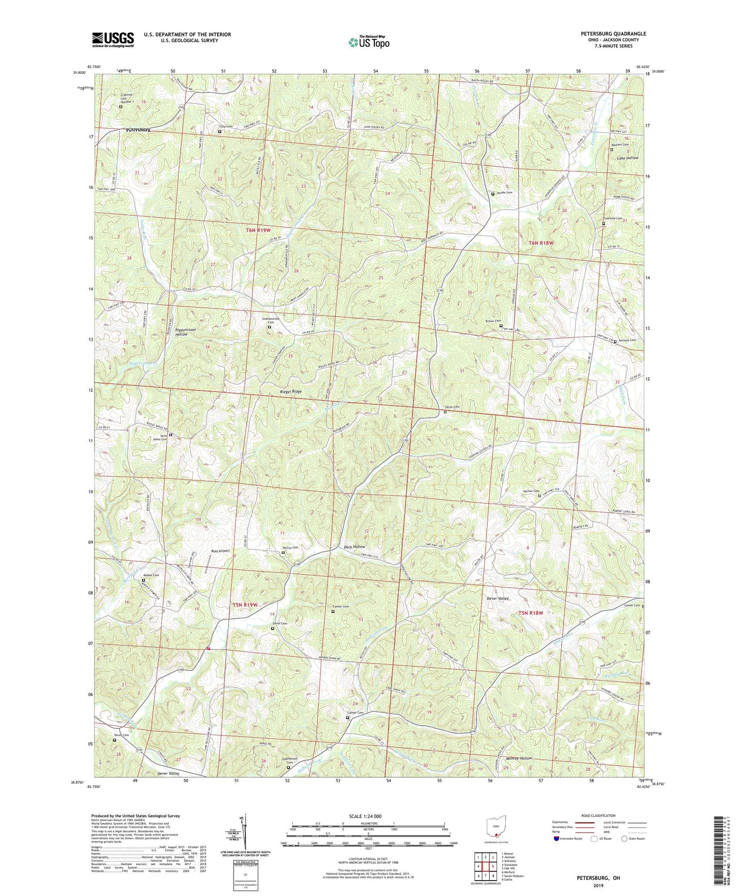
2023 topographic map quadrangle Petersburg in the state of Ohio. Scale: 1:24000. Based on the newly updated USGS 7.5' US Topo map series, this map is in the following counties: Jackson. The map contains contour data, water features, and other items you are used to seeing on USGS maps, but also has updated roads and other features. This is the next generation of topographic maps. Printed on high-quality waterproof paper with UV fade-resistant inks.
Quads adjacent to this one:
West: Stockdale
Northwest: Beaver
North: Jackson
Northeast: Wellston
East: Oak Hill
Southeast: Gallia
South: South Webster
Southwest: Minford
This map covers the same area as the classic USGS quad with code o38082h6.
Contains the following named places: Antioch Cemetery, Antioch Church, Bethany Church, Brown Cemetery, Canter Cemetery, Comer Cemetery, Crabtree Cemetery Number 1, Culp Cemetery, Dark Hollow, Dark Hollow Church, Dever Cemetery, Four Mile, Fourmile Cemetery, Fourmile Church, Grahamsville, Grahamsville Cemetery, Grahamsville Post Office, Hamilton Christian Church, Hamilton School, Hamilton Township Volunteer Fire and Rescue, Horton Cemetery, Jacko Run, Jacobs Cemetery, Laurel Fork, Little Bucklick Creek, Lumen Chapel, Mabee Cemetery, Mabee Corner, Masters Cemetery, McCoy, McCoy Cemetery, McCoy Grove, Mount Pleasant Church, Petersburg, Pigeonroost Hollow, Riegel Ridge, Russ Airport, Saint Johns Cemetery, Saint Johns Church, Scaffold Lick, Scioto Elementary School, Scioto Township Volunteer Fire Department, Smith Cemetery, Stephenson Cemetery, Township of Hamilton, Township of Jefferson, Township of Scioto