MyTopo
Knoxville Ohio US Topo Map
Couldn't load pickup availability
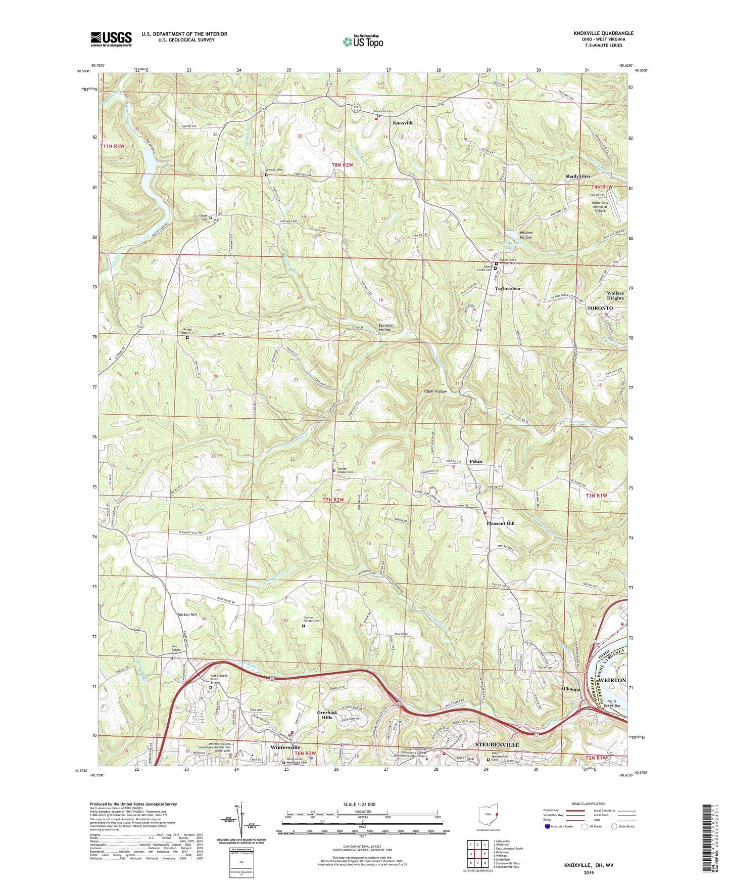
2019 topographic map quadrangle Knoxville in the state of Ohio. Scale: 1:24000. Based on the newly updated USGS 7.5' US Topo map series, this map is in the following counties: Jefferson, Brooke, Hancock. The map contains contour data, water features, and other items you are used to seeing on USGS maps, but also has updated roads and other features. This is the next generation of topographic maps. Printed on high-quality waterproof paper with UV fade-resistant inks.
Quads adjacent to this one:
West: Richmond
Northwest: Salineville
North: Wellsville
East: Weirton
South: Steubenville West
Southwest: Smithfield
Contains the following named places: Airc Helistop, Alikanna, Alikanna Post Office, Beechwood, Belleview Municipal Park, Beverly Hills, Brandywine Lake, Brays Chapel, Brier Hill School, Buchanan Building, Buchanan Junior High School, Buena Vista Elementary School, Buena Vista Heights, Buena Vista United Methodist Church, Canellas Park, Cedar Creek, Center Chapel, Center Chapel Cemetery, Coulter Private Cemetery, Cross Creek Memorial Building, Dungeon Hollow, Eddie Dew Memorial Airpark, Egypt Hollow, Fort Steuben Burial Estates, Granatir Airport, Hale Run, Holy Family Church, Holy Resurrection Cemetery, Indian Creek High School, Island Creek, Island Creek Cemetery, Island Creek Post Office, Island Creek Presbyterian Cemetery, Island Creek Presbyterian Church, Jefferson County Industrial Park, Jefferson County Technical College, Jefferson Union High School, Keyhole Run, Knoxville, Knoxville Cemetery, Knoxville Elementary School, Knoxville Post Office, Knoxville Volunteer Fire Department, Lake Austin, Lake Austin Dam, Lake Lodge, Lock and Dam Number 10, Mellwood Acres, Mount Tabor Cemetery, North Fork Wills Creek, Norton Hill, Osage, Osage Cemetery, Osage Church, Osage Post Office, Overlook Hills, Pekin, Pleasant Hill, Pleasant Hill Elementary School, Pleasant Hill Volunteer Fire Department, Pleasant Hills Mobile Home Park, Pottery Addition, Pottery Addition Volunteer Fire Department, Ridgeland, Rush Run, Shady Glen, Shelley Cemetery, Shelley Run, South Branch Island Creek, South Branch Wills Creek, Stanton Park, Steubenville Fire Department West End Station 5, Sunset Lake, Taylortown, Township of Island Creek, Township of Knox, Two Ridges Cemetery, Two Ridges Church, Village of Wintersville, Wallace Heights, WEIR-AM (Weirton), Wiintersville Post Office, Wills Creek, Wills Creek Bar, Winter Drive-In Theatre, Wintersville, Wintersville Methodist Cemetery, Wintersville Municipal Building, Wintersville Police Department, Wintersville Post Office, Wintersville Volunteer Fire Department, Woodview Park, ZIP Codes: 43952, 43964