MyTopo
Memphis Ohio US Topo Map
Couldn't load pickup availability
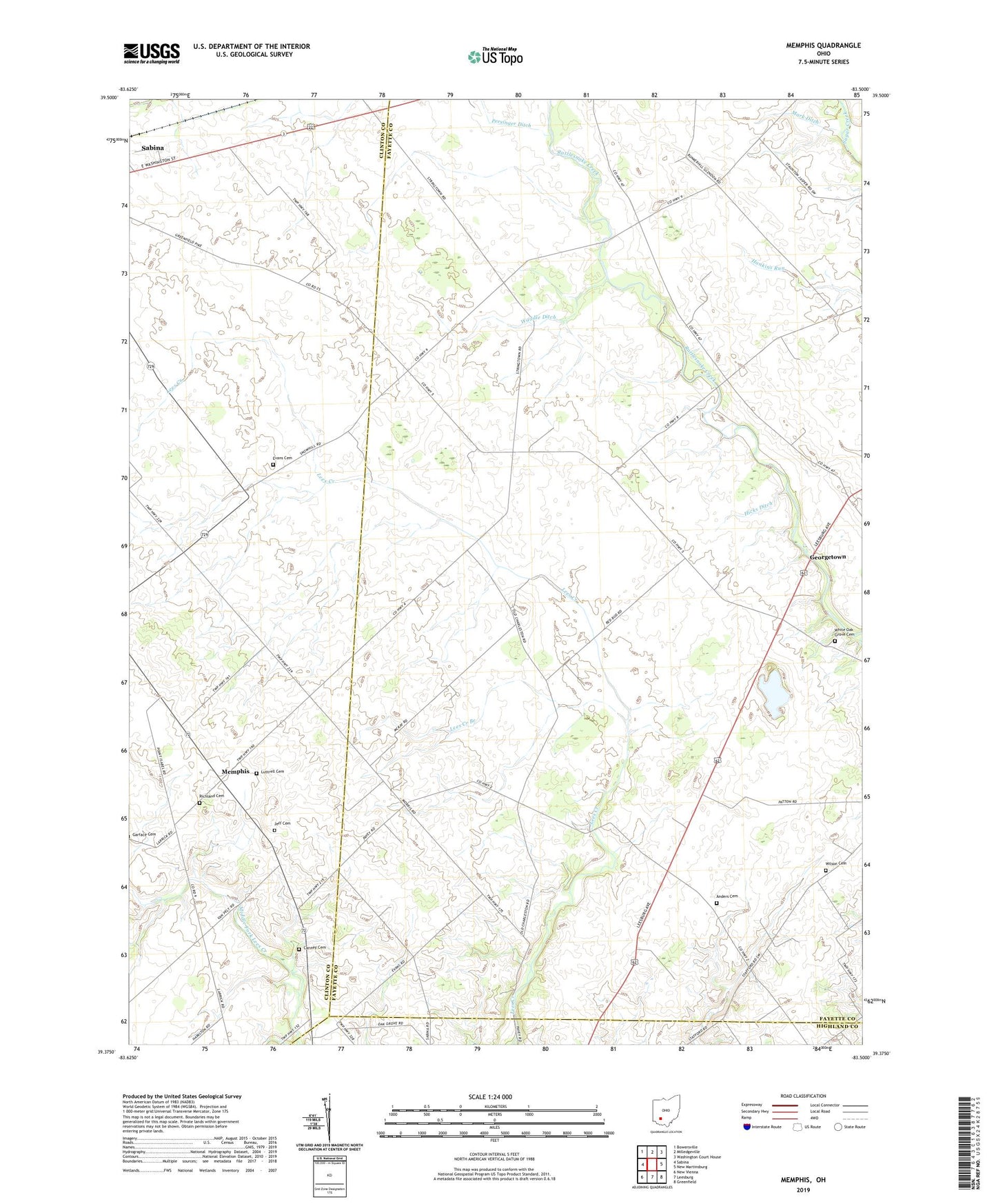
2019 topographic map quadrangle Memphis in the state of Ohio. Scale: 1:24000. Based on the newly updated USGS 7.5' US Topo map series, this map is in the following counties: Fayette, Clinton, Highland. The map contains contour data, water features, and other items you are used to seeing on USGS maps, but also has updated roads and other features. This is the next generation of topographic maps. Printed on high-quality waterproof paper with UV fade-resistant inks.
Quads adjacent to this one:
West: Sabina
Northwest: Bowersville
North: Milledgeville
Northeast: Washington Court House
East: New Martinsburg
Southeast: Greenfield
South: Leesburg
Southwest: New Vienna
Contains the following named places: Anders Cemetery, Asbury School, Brimstone School, Bunker Hill School, Canney Cemetery, Connor School, Evans Cemetery, Georgetown, Hicks Ditch, Jeff Cemetery, Lees Creek Branch, Locust Grove School, Luttrell Cemetery, Mark Ditch, Memphis, Memphis Post Office, Oakview School, Olive Chapel School, Olive Elementary School, Persinger Ditch, Richland Cemetery, Sabina Airport, Snider School, Township of Concord, Township of Green, Waddle Ditch, Waddle School, Walnut Hill Church, Walnut Hill School, White Oak Grove Cemetery, White Oak Grove United Methodist Church, Wilson Cemetery, Worthington School