MyTopo
West Richfield Ohio US Topo Map
Couldn't load pickup availability
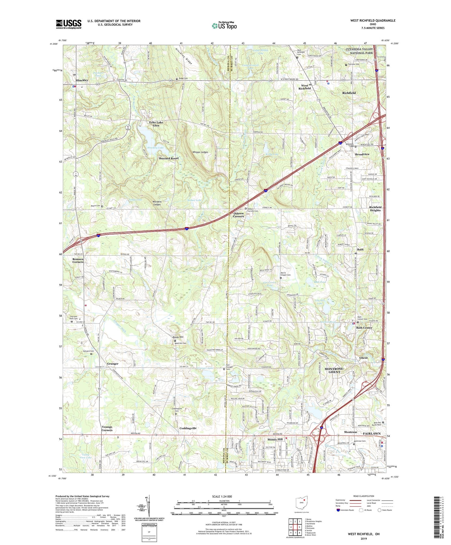
2023 topographic map quadrangle West Richfield in the state of Ohio. Scale: 1:24000. Based on the newly updated USGS 7.5' US Topo map series, this map is in the following counties: Medina, Summit. The map contains contour data, water features, and other items you are used to seeing on USGS maps, but also has updated roads and other features. This is the next generation of topographic maps. Printed on high-quality waterproof paper with UV fade-resistant inks.
Quads adjacent to this one:
West: Medina
Northwest: Berea
North: Broadview Heights
Northeast: Northfield
East: Peninsula
Southeast: Akron West
South: Wadsworth
Southwest: Seville
This map covers the same area as the classic USGS quad with code o41081b6.
Contains the following named places: Allard Creek, Allardale County Park, Bath, Bath Center, Bath Center Cemetery, Bath Copley Stony Hill Fire Station 2, Bath Creek, Bath Elementary School, Bath Fire Department, Bath Golf Club, Bath Police Department, Bath Pond, Bath Post Office, Bath United Church of Christ, Beach Cemetery, Bicentennial Park, Broadview, Buzzard Roost, Camp Christopher, Camp Crag, Camp Crowell, Camp Crowell Dam, Camp Crowell Lake, Camp Hilaka Dam, Camp Hilaka Lake, Camp Mather, Coddingville, Coddingville Cemetery, Copley Fire Department Station 2, Crystal Lake, Crystal Lake Dam, East Granger Cemetery, Echo Lake Glen, Embassy Corporate Park, Fairlawn City Hall, Fairlawn Fire Department, Fairlawn Police Department, Fairview Cemetery, Fairview Park Cemetery, Ganyard Cemetery, Ghent, Ghent Christian Church, Ghent Post Office, Ghent Square Shopping Center, Grace Church, Granger, Granger Ditch, Granger Lake, Granger Lake Dam, Granger Post Office, Granger Township Fire Department and Rescue, Granger United Methodist Church, Greisin Pond, Highland High School, Highland Middle School, Hinckley, Hinckley Branch Medina County District Library, Hinckley Elementary School, Hinckley Fire Department, Hinckley Lake, Hinckley Lake Boathouse, Hinckley Lake Dam, Hinckley Post Office, Hinckley Reservation, Hinckley Ridge, Hinckley Ridge Baptist Church, Hinckley Township Police Department, Hirts Gardens, Howard's Nursery, Idle Brook, Indian Point Picnic Area, Johnsons Picnic Area, Judges Lake, Kinross Lakes Commercial Park, Kirby Lake, Kirby Lake Dam, Kiwanis Reserved Picnic Area, Leaning Tree Golf Club, Ledge Lake, Ledge Lake Dam, Lily Hill Lake, Mirror Lake, Mirror Lake Dam, Montrose, Montrose Cemetery, Montrose Centre Shopping Center, Montrose Zion United Methodist Church, Montrose-Ghent Census Designated Place, Morris Chapel Cemetery, North Fork Yellow Creek, Osborn Corners, Osborn Corners Cemetery, Our Saviour's Lutheran Church, Park Creek, Pischieri Pond, Pischieri Pond Dam, Redwing Reserved Picnic Area, Reed Hill Cemetery, Reeds Hill, Remsen Christian Church, Remsen Corners, Remson's Corners Post Office, Richfield, Richfield Elementary School, Richfield Fire Department, Richfield Heights, Richfield Industrial Park, Richfield Post Office, Richfield Village Police Department, Ridge Cemetery, Rose Hill Burial Park, Rosemont Golf Club, Saint Bernard Golf Club, Schmeltzer Heliport, Shade Tree Farm, Shops of Fairlawn Shopping Center, Spillway Pool Picnic Area, Stonegate Corporate Park, Stoney Hill, Township of Bath, Township of Granger, Township of Hinckley, Township of Richfield, Valley View Lake, Village of Richfield, Von Gunten Dam, Von Gunten Pond, West Creek, West Drive Scenic Overlook, West Fork Yellow Creek, West Market Plaza Shopping Center, West Richfield, West Richfield Cemetery, Wheatley Cemetery, Whipps Ledges, Whipps Ledges Picnic Area, Worden Heritage Homestead, Wordens Ledges, Youngs Corners, Young's Corners Fellowship Church, ZIP Codes: 44233, 44286, 44333


