MyTopo
Braman Oklahoma US Topo Map
Couldn't load pickup availability
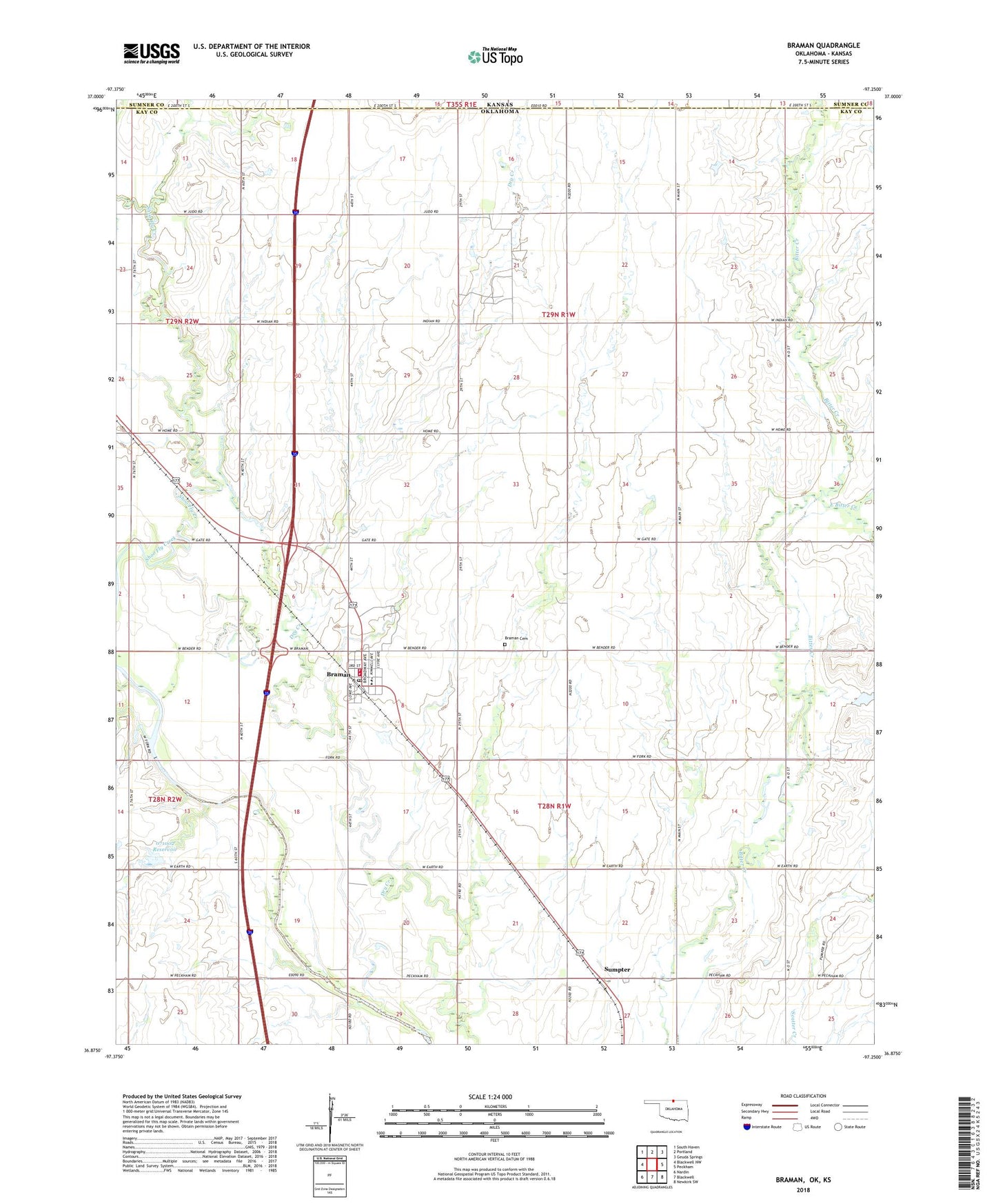
2022 topographic map quadrangle Braman in the state of Oklahoma. Scale: 1:24000. Based on the newly updated USGS 7.5' US Topo map series, this map is in the following counties: Kay, Sumner. The map contains contour data, water features, and other items you are used to seeing on USGS maps, but also has updated roads and other features. This is the next generation of topographic maps. Printed on high-quality waterproof paper with UV fade-resistant inks.
Quads adjacent to this one:
West: Blackwell NW
Northwest: South Haven
North: Portland
Northeast: Geuda Springs
East: Peckham
Southeast: Newkirk SW
South: Blackwell
Southwest: Nardin
This map covers the same area as the classic USGS quad with code o36097h3.
Contains the following named places: Braman, Braman Cemetery, Braman Division, Braman Elementary School, Braman High School, Braman Northwest Oil Field, Braman Oil Field, Braman Post Office, Braman Volunteer Fire Department, Braman Volunteer Fire Department Storage, East Bitter Creek, First Baptist Church, North Braman Oil Field, Oknoname 071002 Dam, Oknoname 071002 Reservoir, Sumpter, Town of Braman, Township of Lowe, ZIP Code: 74632