MyTopo
Bug Creek Oklahoma US Topo Map
Couldn't load pickup availability
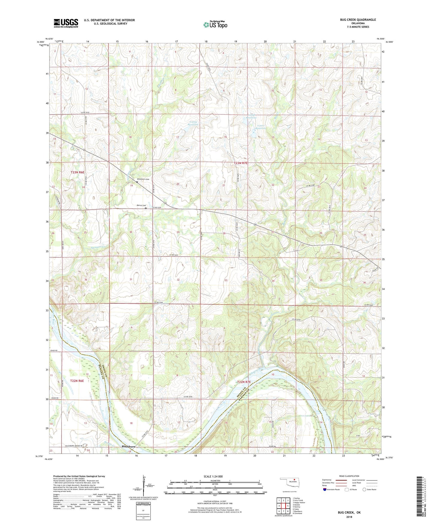
2018 topographic map quadrangle Bug Creek in the state of Oklahoma. Scale: 1:24000. Based on the newly updated USGS 7.5' US Topo map series, this map is in the following counties: Osage, Pawnee. The map contains contour data, water features, and other items you are used to seeing on USGS maps, but also has updated roads and other features. This is the next generation of topographic maps. Printed on high-quality waterproof paper with UV fade-resistant inks.
Quads adjacent to this one:
West: Skedee
Northwest: Fairfax
North: Lucy Creek
Northeast: Happy Hollow
East: Hominy
Southeast: Cleveland
South: Blackburn
Southwest: Casey
Contains the following named places: Black Bear Creek, Bug Creek, Bug Creek Camp, Harper Creek, Morrel Family Cemetery, Oknoname 113106 Dam, Oknoname 113106 Reservoir, Oknoname 113107 Dam, Oknoname 113107 Reservoir, Oknoname 113108 Dam, Oknoname 113108 Reservoir, Oknoname 113109 Dam, Oknoname 113109 Reservoir, Whitehorn Cemetery