MyTopo
Lucy Creek Oklahoma US Topo Map
Couldn't load pickup availability
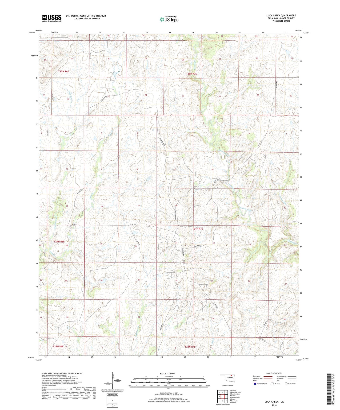
2022 topographic map quadrangle Lucy Creek in the state of Oklahoma. Scale: 1:24000. Based on the newly updated USGS 7.5' US Topo map series, this map is in the following counties: Osage. The map contains contour data, water features, and other items you are used to seeing on USGS maps, but also has updated roads and other features. This is the next generation of topographic maps. Printed on high-quality waterproof paper with UV fade-resistant inks.
Quads adjacent to this one:
West: Fairfax
Northwest: Burbank
North: Baconrind Creek
Northeast: Bluestem Lake
East: Happy Hollow
Southeast: Hominy
South: Bug Creek
Southwest: Skedee
This map covers the same area as the classic USGS quad with code o36096e5.
Contains the following named places: Daniels Run, Lucy Creek, Osage Tribal Jurisdiction Statistical Area, Saint Johns Indian School Reserve, Township of Fairfax