MyTopo
Cooperton Oklahoma US Topo Map
Couldn't load pickup availability
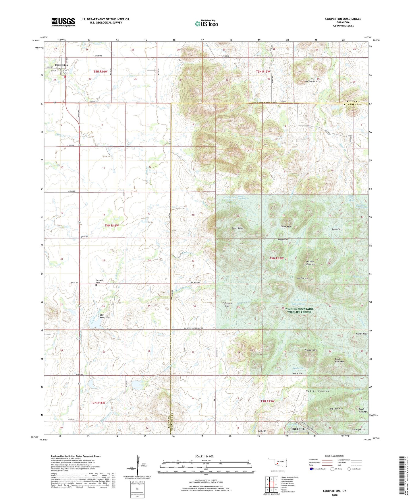
2018 topographic map quadrangle Cooperton in the state of Oklahoma. Scale: 1:24000. Based on the newly updated USGS 7.5' US Topo map series, this map is in the following counties: Comanche, Kiowa. The map contains contour data, water features, and other items you are used to seeing on USGS maps, but also has updated roads and other features. This is the next generation of topographic maps. Printed on high-quality waterproof paper with UV fade-resistant inks.
Quads adjacent to this one:
West: Glen Mountains
Northwest: Rainy Mountain Creek
North: Unap Mountain
Northeast: Bally Mountain
East: Saddle Mountain
Southeast: Quanah Mountain
South: Odetta
Southwest: Snyder
Contains the following named places: Baker Peak, Bell Mountain, Big Four Mountain, Black Bear Mountain, Boggy Flat, Boggy Hollow Creek, Buffalo Mountain, Buffalo Spring, Cooperton, Cooperton Volunteer Fire Department, Cut Throat Lake, Dead Man Mountain, East Sugar Creek Spring, Fullingim Flat, Goodin Spring, Grace Mountain, Hale Spring, Hollis Canyon, Lobo Flat, Mount Pinchot, Otter Creek Site 3 Dam, Otter Creek Site 3 Reservoir, Otter Creek Site 4 Dam, Otter Creek Site 4 Reservoir, Panther Mountain, Rabbit Hills, Springhill Cemetery, Sugar Creek Spring, Time-O-Day Spring, Township of Wichita, Wells Flat, Wells Flats, West Fork, West Sugar Creek