MyTopo
Deer Creek Oklahoma US Topo Map
Couldn't load pickup availability
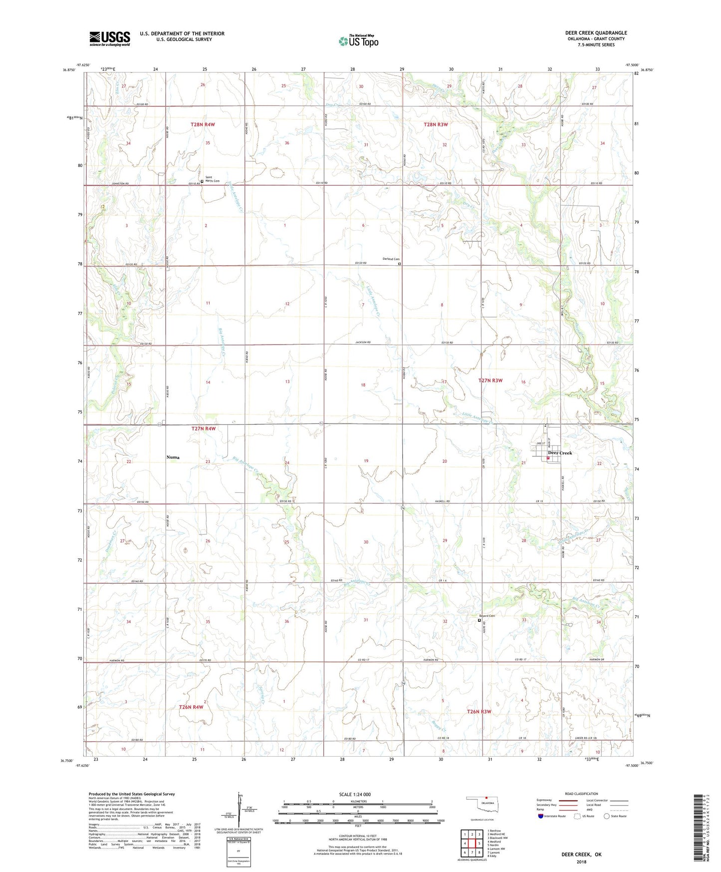
2022 topographic map quadrangle Deer Creek in the state of Oklahoma. Scale: 1:24000. Based on the newly updated USGS 7.5' US Topo map series, this map is in the following counties: Grant. The map contains contour data, water features, and other items you are used to seeing on USGS maps, but also has updated roads and other features. This is the next generation of topographic maps. Printed on high-quality waterproof paper with UV fade-resistant inks.
Quads adjacent to this one:
West: Medford
Northwest: Renfrow
North: Medford NE
Northeast: Blackwell NW
East: Nardin
Southeast: Eddy
South: Lamont
Southwest: Lamont NW
This map covers the same area as the classic USGS quad with code o36097g5.
Contains the following named places: Bayard Cemetery, Darland Cemetery, Deer Creek, Deer Creek - Lamont Elementary School, Deer Creek Volunteer Fire Department, Dry Creek, Elm Creek, Numa, Saint Marys Cemetery, South Deer Creek Oil Field, Town of Deer Creek, Township of Dirigo, Township of Numa, ZIP Code: 74636