MyTopo
Eagle City Oklahoma US Topo Map
Couldn't load pickup availability
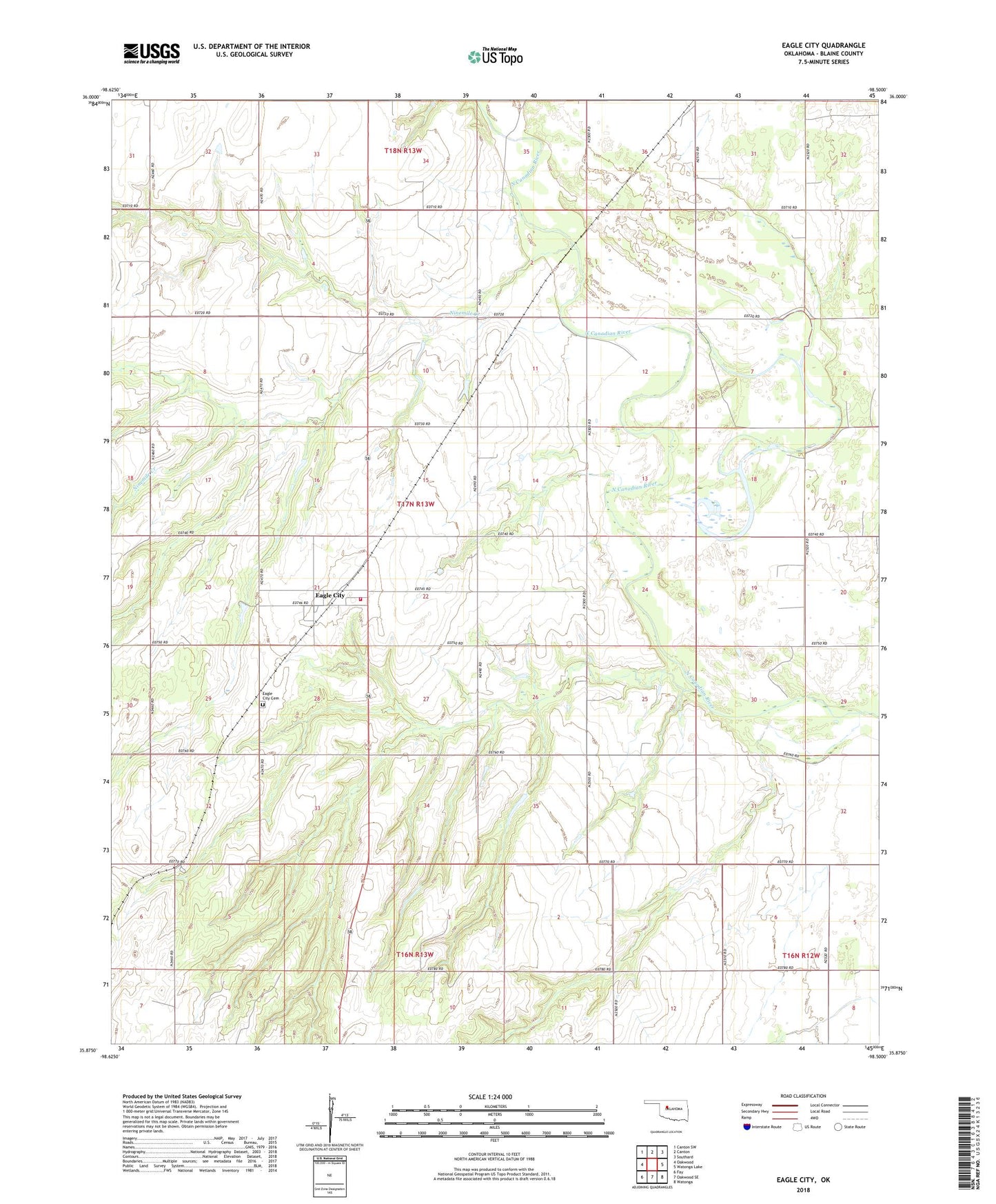
2018 topographic map quadrangle Eagle City in the state of Oklahoma. Scale: 1:24000. Based on the newly updated USGS 7.5' US Topo map series, this map is in the following counties: Blaine. The map contains contour data, water features, and other items you are used to seeing on USGS maps, but also has updated roads and other features. This is the next generation of topographic maps. Printed on high-quality waterproof paper with UV fade-resistant inks.
Quads adjacent to this one:
West: Oakwood
Northwest: Canton SW
North: Canton
Northeast: Southard
East: Watonga Lake
Southeast: Watonga
South: Oakwood SE
Southwest: Fay
Contains the following named places: Eagle City, Eagle City Cemetery, Eagle City Census Designated Place, Eagle City Fire Department, Ninemile Creek, Township of Liberty, Widney Irrigation Reservoir, Widney Irrigation Reservoir Dam