MyTopo
Southard Oklahoma US Topo Map
Couldn't load pickup availability
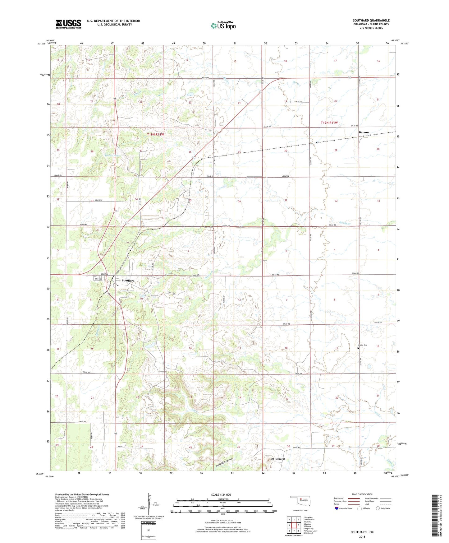
2022 topographic map quadrangle Southard in the state of Oklahoma. Scale: 1:24000. Based on the newly updated USGS 7.5' US Topo map series, this map is in the following counties: Blaine. The map contains contour data, water features, and other items you are used to seeing on USGS maps, but also has updated roads and other features. This is the next generation of topographic maps. Printed on high-quality waterproof paper with UV fade-resistant inks.
Quads adjacent to this one:
West: Canton
Northwest: Longdale
North: Homestead
Northeast: Isabella
East: Okeene
Southeast: Hitchcock
South: Watonga Lake
Southwest: Eagle City
This map covers the same area as the classic USGS quad with code o36098a4.
Contains the following named places: Bitter Creek, Darrow, Karber Pond, Karber Pond Dam, Midlin Cemetery, Mount Henquent, Ruby Mill Canyon, Southard, Township of Carlton, Township of Homestead