MyTopo
Canton Oklahoma US Topo Map
Couldn't load pickup availability
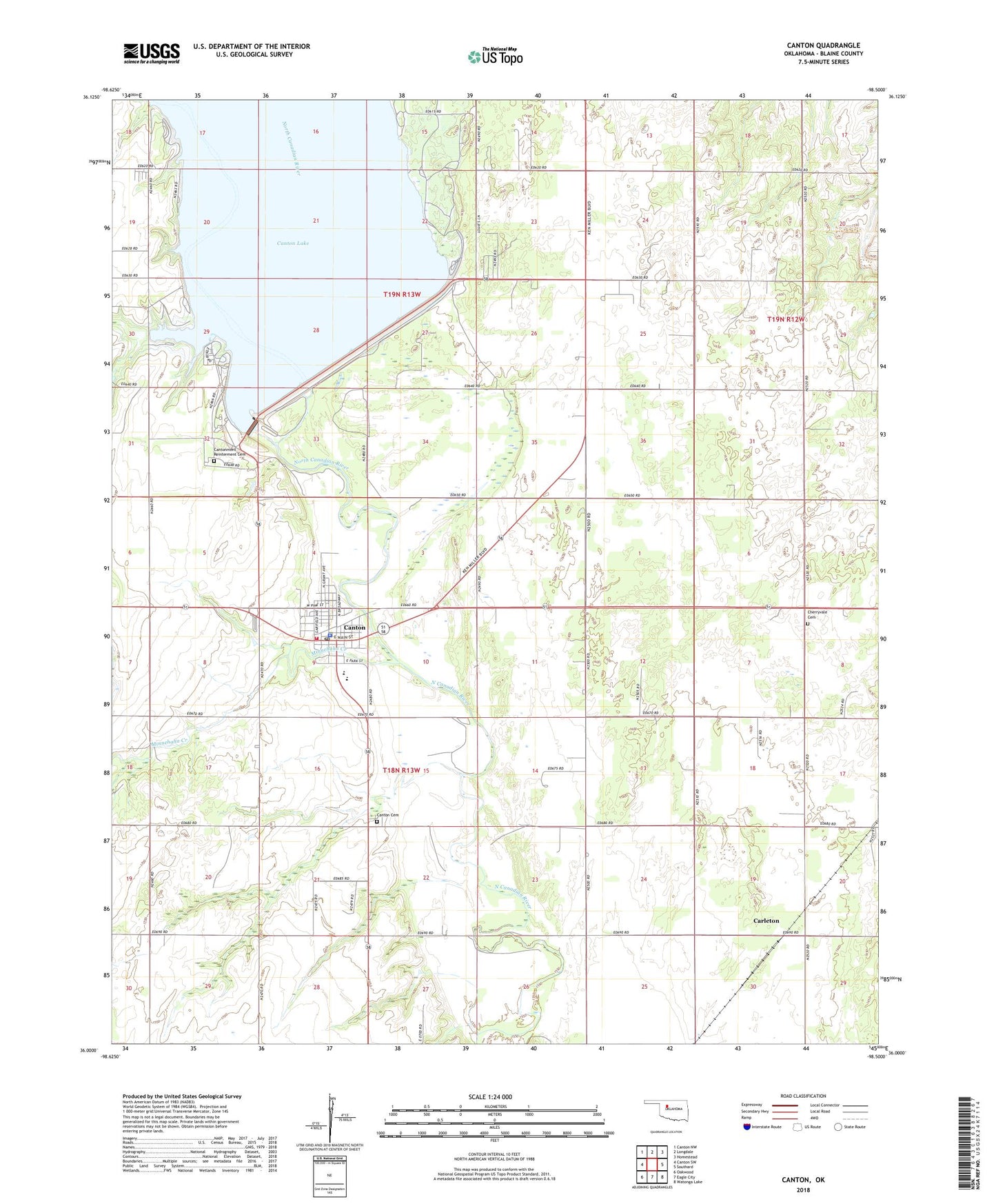
2022 topographic map quadrangle Canton in the state of Oklahoma. Scale: 1:24000. Based on the newly updated USGS 7.5' US Topo map series, this map is in the following counties: Blaine. The map contains contour data, water features, and other items you are used to seeing on USGS maps, but also has updated roads and other features. This is the next generation of topographic maps. Printed on high-quality waterproof paper with UV fade-resistant inks.
Quads adjacent to this one:
West: Canton SW
Northwest: Canton NW
North: Longdale
Northeast: Homestead
East: Southard
Southeast: Watonga Lake
South: Eagle City
Southwest: Oakwood
This map covers the same area as the classic USGS quad with code o36098a5.
Contains the following named places: Assembly of God Church, Big Bend Recreation Area, Canadian Recreation Area, Canton, Canton - Longdale Ambulance Service, Canton Cemetery, Canton Dam, Canton Division, Canton Elementary School, Canton High School, Canton Lake, Canton Police Department, Canton Post Office, Canton Volunteer Fire Department, Cantonment Reinterment Cemetery, Carleton, Carlton, Cherryvale Cemetery, Christian Church, Family Worship Center, Indian Church, Indian-Mennonite Cemetery, Minnehaha Creek, Sandy Cove Recreation Area, Town of Canton, Township of Canton, Township of Cantonment, Zion Mennonite Indian Cemetery