MyTopo
Drummond Oklahoma US Topo Map
Couldn't load pickup availability
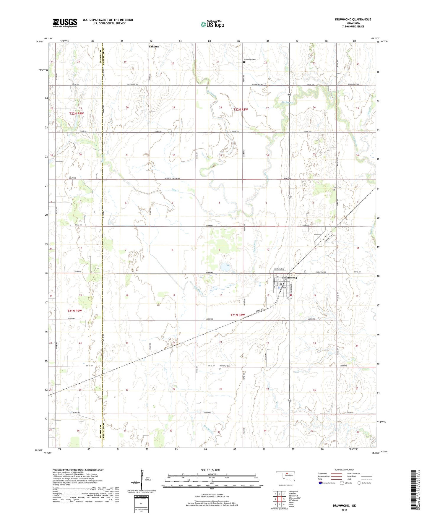
2022 topographic map quadrangle Drummond in the state of Oklahoma. Scale: 1:24000. Based on the newly updated USGS 7.5' US Topo map series, this map is in the following counties: Garfield, Major. The map contains contour data, water features, and other items you are used to seeing on USGS maps, but also has updated roads and other features. This is the next generation of topographic maps. Printed on high-quality waterproof paper with UV fade-resistant inks.
Quads adjacent to this one:
West: Ringwood SW
Northwest: Ringwood
North: Lahoma
Northeast: Enid West
East: Waukomis
Southeast: Bison
South: Barr
Southwest: Ames
This map covers the same area as the classic USGS quad with code o36098c1.
Contains the following named places: Clear Creek, Delnorte Cemetery, Drummond, Drummond Fire Department, Drummond High School, Drummond Police Department, Drummond Post Office, Drummond Public School, Dry Salt Creek, Elm Creek, Imo Cemetery, Sheriden Field, Sunnyside Cemetery, Town of Drummond, Township of Sheridan, ZIP Code: 73735