MyTopo
Osage Hills Oklahoma US Topo Map
Couldn't load pickup availability
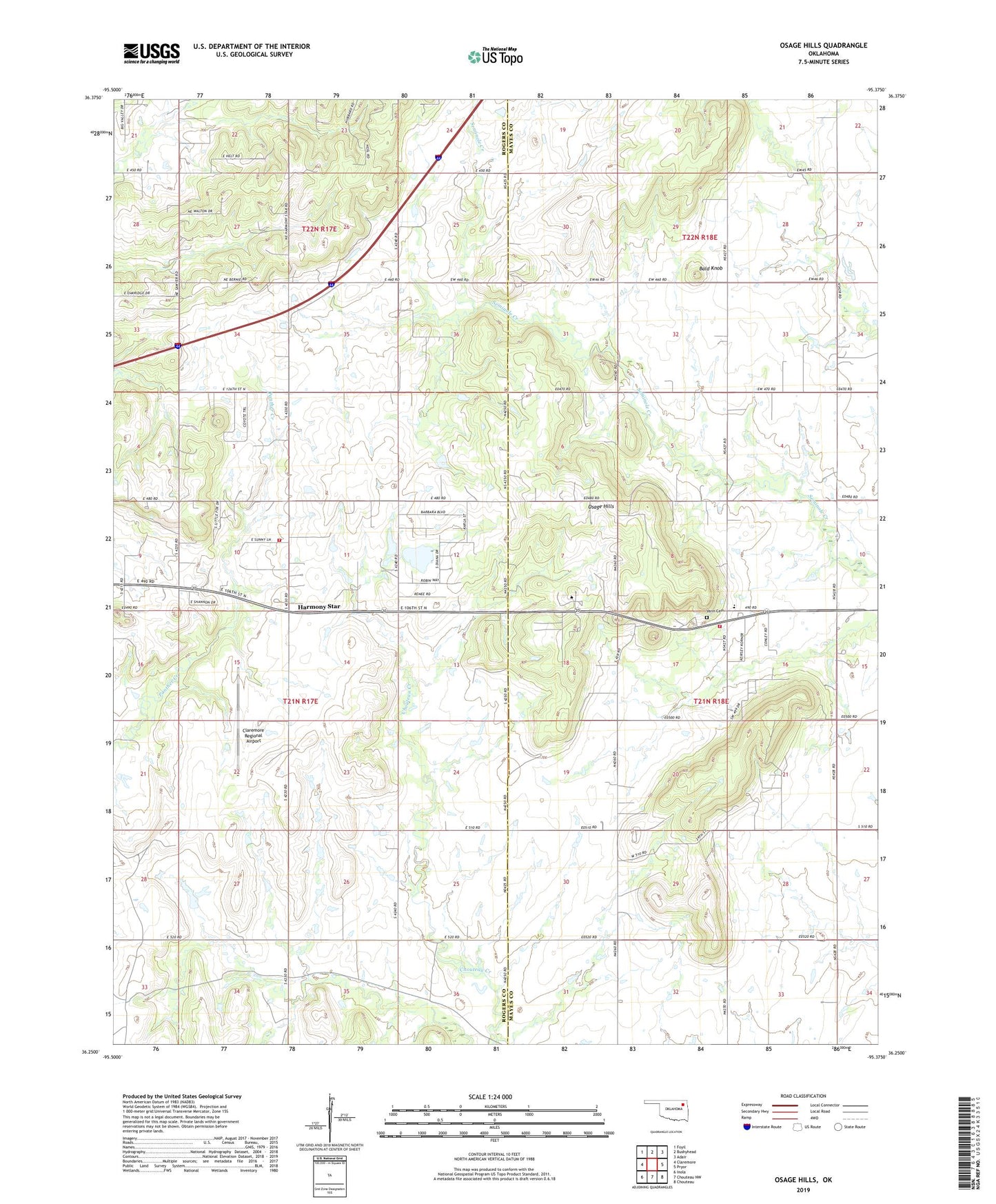
2022 topographic map quadrangle Osage Hills in the state of Oklahoma. Scale: 1:24000. Based on the newly updated USGS 7.5' US Topo map series, this map is in the following counties: Rogers, Mayes. The map contains contour data, water features, and other items you are used to seeing on USGS maps, but also has updated roads and other features. This is the next generation of topographic maps. Printed on high-quality waterproof paper with UV fade-resistant inks.
Quads adjacent to this one:
West: Claremore
Northwest: Foyil
North: Bushyhead
Northeast: Adair
East: Pryor
Southeast: Chouteau
South: Chouteau NW
Southwest: Inola
This map covers the same area as the classic USGS quad with code o36095c4.
Contains the following named places: Bald Knob, Claremore Regional Airport, Harmony Star, Northeast Technology Center Pryor, Osage - Pleasant View Volunteer Fire Department, Osage Church, Osage Elementary School, Osage Hills, Pleasant View Church, Tri - District Fire Protection District Main Station, Union Chapel, Vann Cemetery