MyTopo
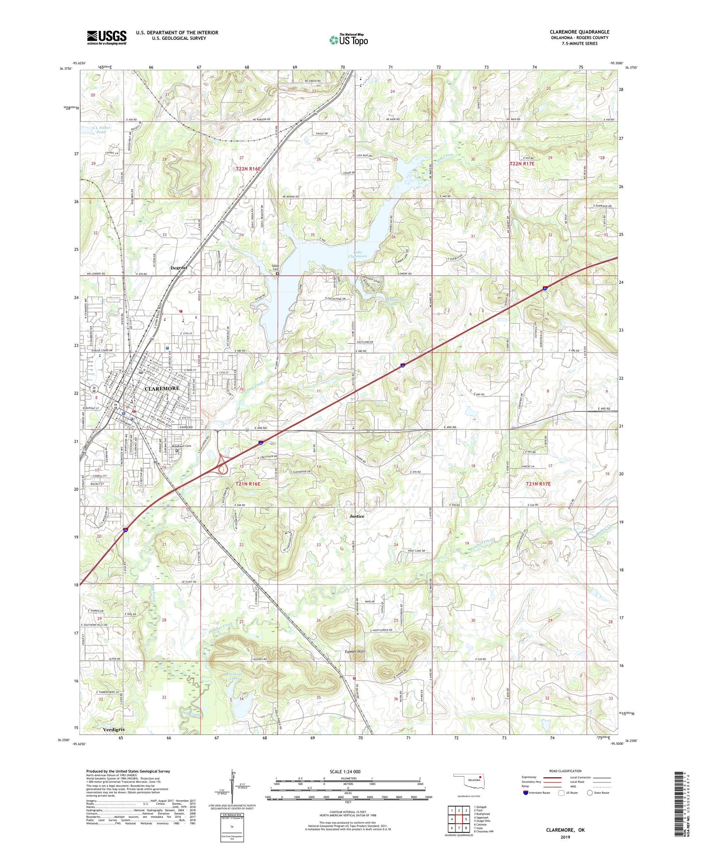
Claremore Oklahoma US Topo Map
Couldn't load pickup availability
2022 topographic map quadrangle Claremore in the state of Oklahoma. Scale: 1:24000. Based on the newly updated USGS 7.5' US Topo map series, this map is in the following counties: Rogers. The map contains contour data, water features, and other items you are used to seeing on USGS maps, but also has updated roads and other features. This is the next generation of topographic maps. Printed on high-quality waterproof paper with UV fade-resistant inks.
Quads adjacent to this one:
West: Sageeyah
Northwest: Oologah
North: Foyil
Northeast: Bushyhead
East: Osage Hills
Southeast: Chouteau NW
South: Inola
Southwest: Catoosa
This map covers the same area as the classic USGS quad with code o36095c5.
Contains the following named places: Cat Creek, Central Church of Christ, Central Upper Elementary School, Christ Presbyterian Church, Church at Claremore, Church of God Seventh Day, Church of the Nazarene, Circle of Love Foundation, City of Claremore, Claremont Elementary School, Claremore, Claremore Beauty College, Claremore Christian School, Claremore Dam, Claremore Division, Claremore Fire Department Station 1 Headquarters, Claremore Fire Department Station 3, Claremore High School, Claremore Plaza Shopping Center, Claremore Police Department, Claremore Post Office, Claremore Regional Hospital Heliport, Clermont Shopping Center, Degroat, Eighth Street Baptist Church, First Baptist Church, First Christian Church, First Church of God, First Presbyterian Church, Grace Baptist Church, Happy Lake, Happy Lake Dam, Hillcrest Hospital Claremore, Justice, Justice Census Designated Place, Justus - Tiawah Elementary School North Campus, KTRT-AM (Claremore), Lake Claremore, Lantow Field, Legacy Christian School, Lincoln School, Lowrance Ranch, Lutheran Church, Ne-Mar Shopping Center, New Life Church of God, O L Fisher Pond, O L Fisher Pond Dam, Oologah - Talala Emergency Management Service District, Pafford Emergency Medical Services Claremore Station, Panther Creek, Petersons Lake, Petersons Lake Dam, Plaza Shopping Center, Powell Shopping Center, Rogers County, Rogers County Jail, Rogers County Sheriff's Office, Rogers Junior High School, Saint Cecilia Catholic Church, Saint Pauls Episcopal Church, Sequoyah, Sequoyah Elementary School, Sequoyah Junior High School, Stanford Court, Strait Gate Church, Stuart Roosa Elementary School, Talbert Cemetery, The Church of Jesus Christ of Latter Day Saints, Tiawah, Tiawah Fire Department, Tiawah Hills, Township of Verdigris, Trinity Baptist Church, Will Rogers Downs, Will Rogers Junior High School, Woodlawn Cemetery, ZIP Code: 74019


