MyTopo
Skedee Oklahoma US Topo Map
Couldn't load pickup availability
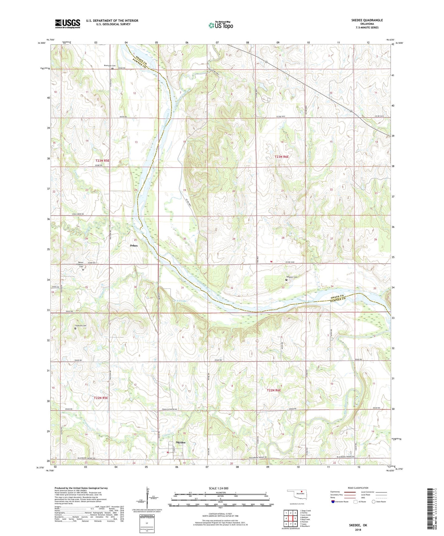
2018 topographic map quadrangle Skedee in the state of Oklahoma. Scale: 1:24000. Based on the newly updated USGS 7.5' US Topo map series, this map is in the following counties: Pawnee, Osage. The map contains contour data, water features, and other items you are used to seeing on USGS maps, but also has updated roads and other features. This is the next generation of topographic maps. Printed on high-quality waterproof paper with UV fade-resistant inks.
Quads adjacent to this one:
West: Masham
Northwest: Doga Creek
North: Fairfax
Northeast: Lucy Creek
East: Bug Creek
Southeast: Blackburn
South: Casey
Southwest: Pawnee
Contains the following named places: Bell Cemetery, Coal Creek, Coon Creek, Crystal Creek, Dry Creek, Endicott Cemetery, Gray Horse Creek, Jobes, P S O Lake, P S O Lake Dam, Riverside Cemetery, Skedee, Skedee Volunteer Fire Department, Spring Creek, Sycamore Creek, Sycamore Fire Department, Town of Skedee, Township of Skedee, Wheeler Cemetery